Wednesday 9/12
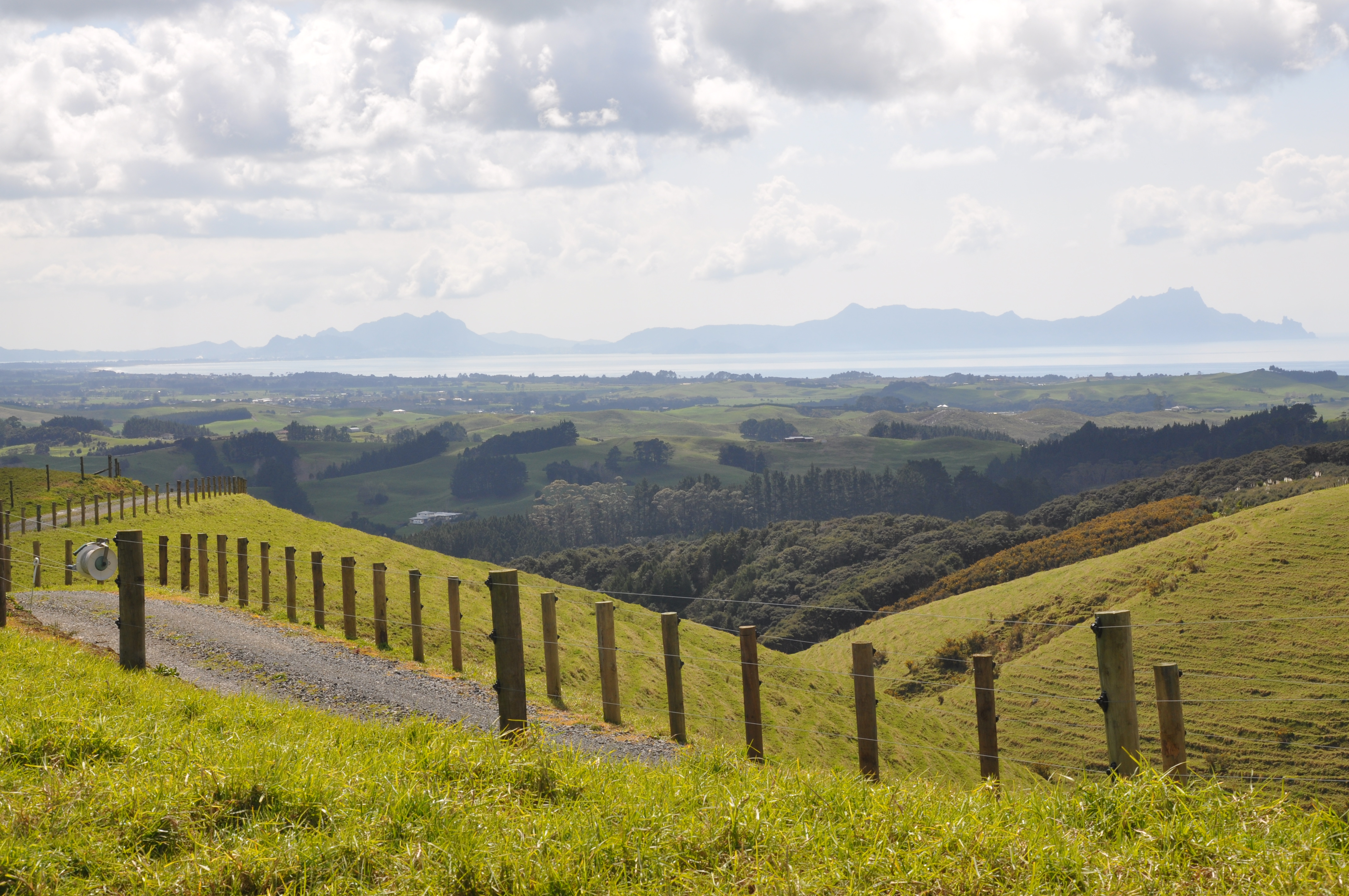
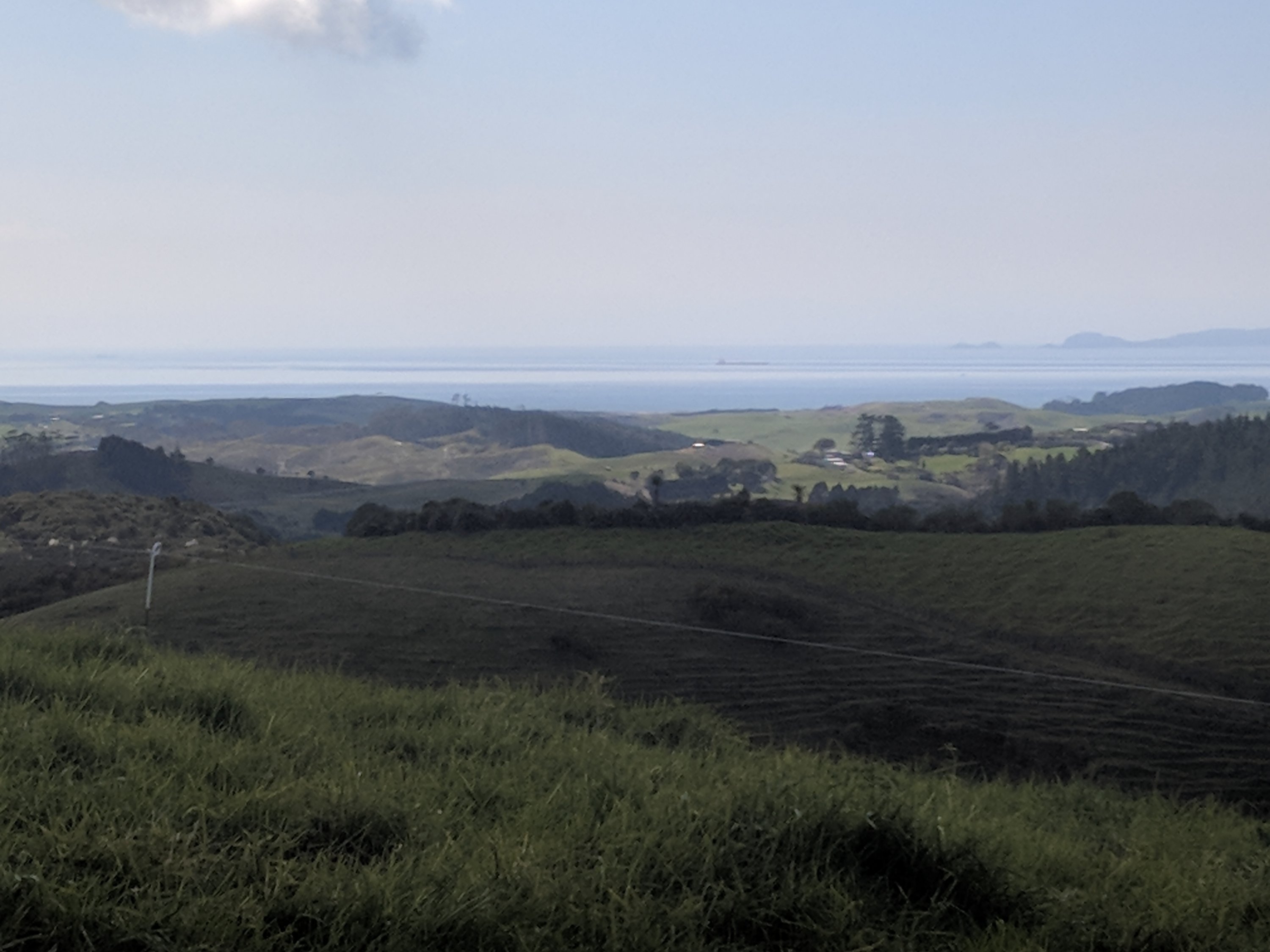
We are finally on our way to really exploring New Zealand! Our destination is Paihai in the Bay of Islands and Koru Cottage which will be our home base for 4 nights. Once we got by the outskirts of Auckland the scenery became intensely Middle Earth with rolling hills and amazingly dense brush, The roads are winding, narrow and fast. Tom did a great job although the windshield wipers do occasionally come on when a turn signal is intended.
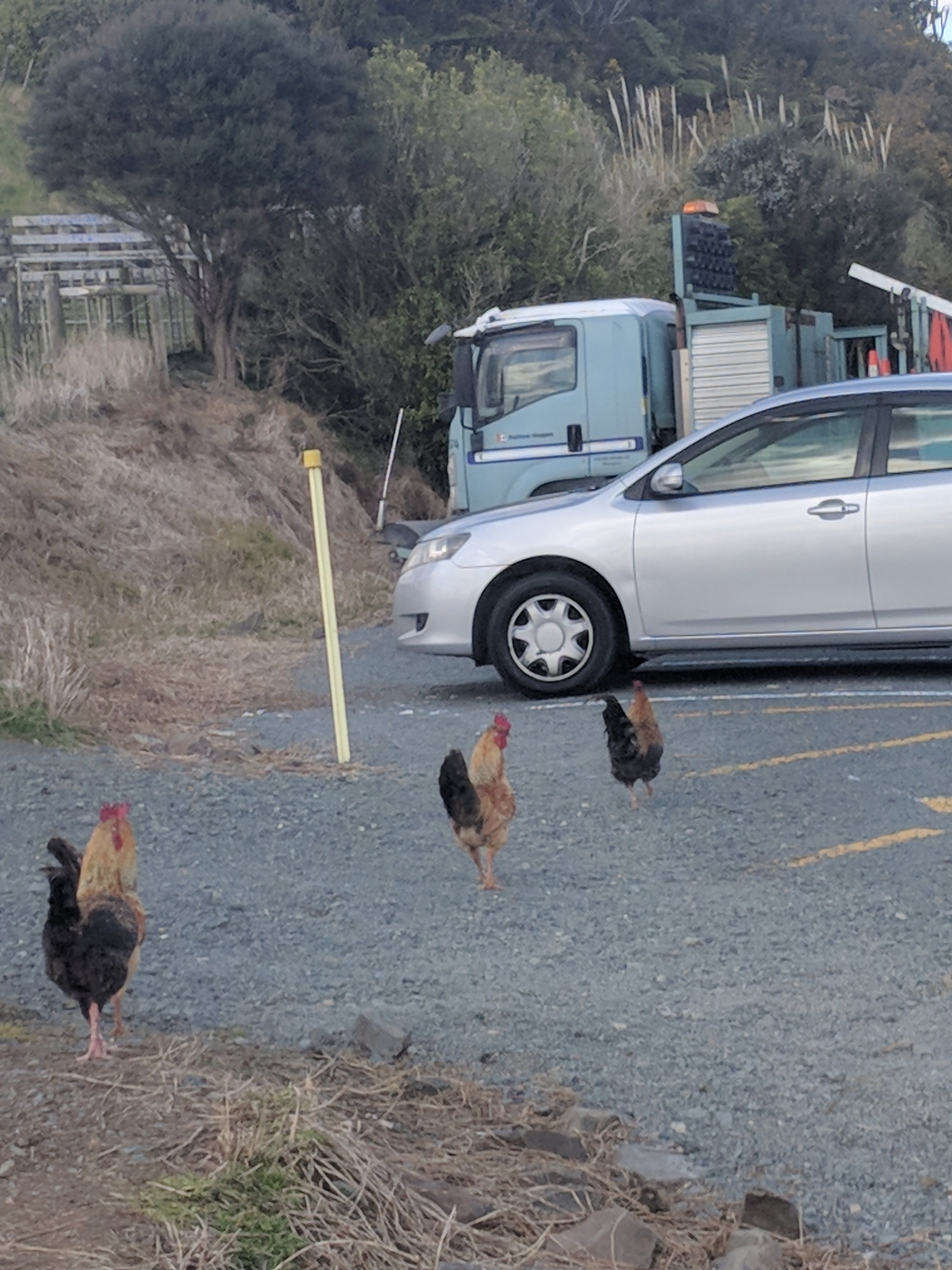
The pictures do not do the scenery justice but here are a few from a scenic outlook which also seemed to be home to a collection of roosters.
The road signs do seem to be a good deal more polite than at home

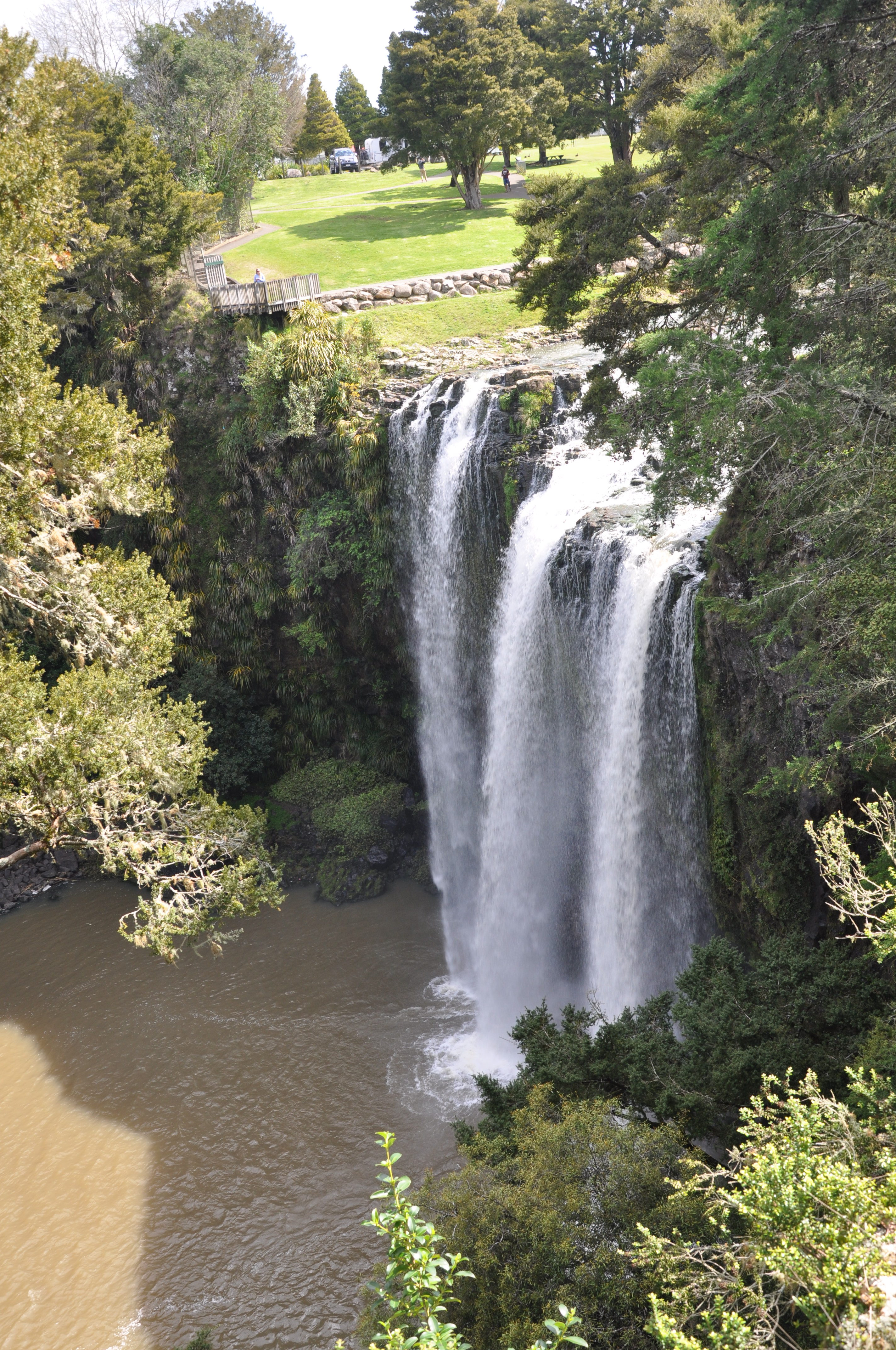
We stopped along the way at Whangarei Falls to stretch our legs and eat a picnic lunch of some sandwiches that we picked up at a bakery. The Wh is pronounced as “F”, so the Falls are pronounced “Fang-a-ray”. We are working hard at getting our Maori pronunciations correct, including Maori which requires the ability to do that rolling-r thing that Jeannie can do because of her Spanish background, but it generally sounds like it’s pronounce “Mah-lee” where the rolled-r sounds something like an L. For a good experience of the New Zealand accent, ask a New Zealander to pronounce the numbers between five and eight, and then tell you the name of the candy that melts in your mouth, not in your hand. It will be impossible not to smile.
Enough on “fun with accents” and back to the Falls.
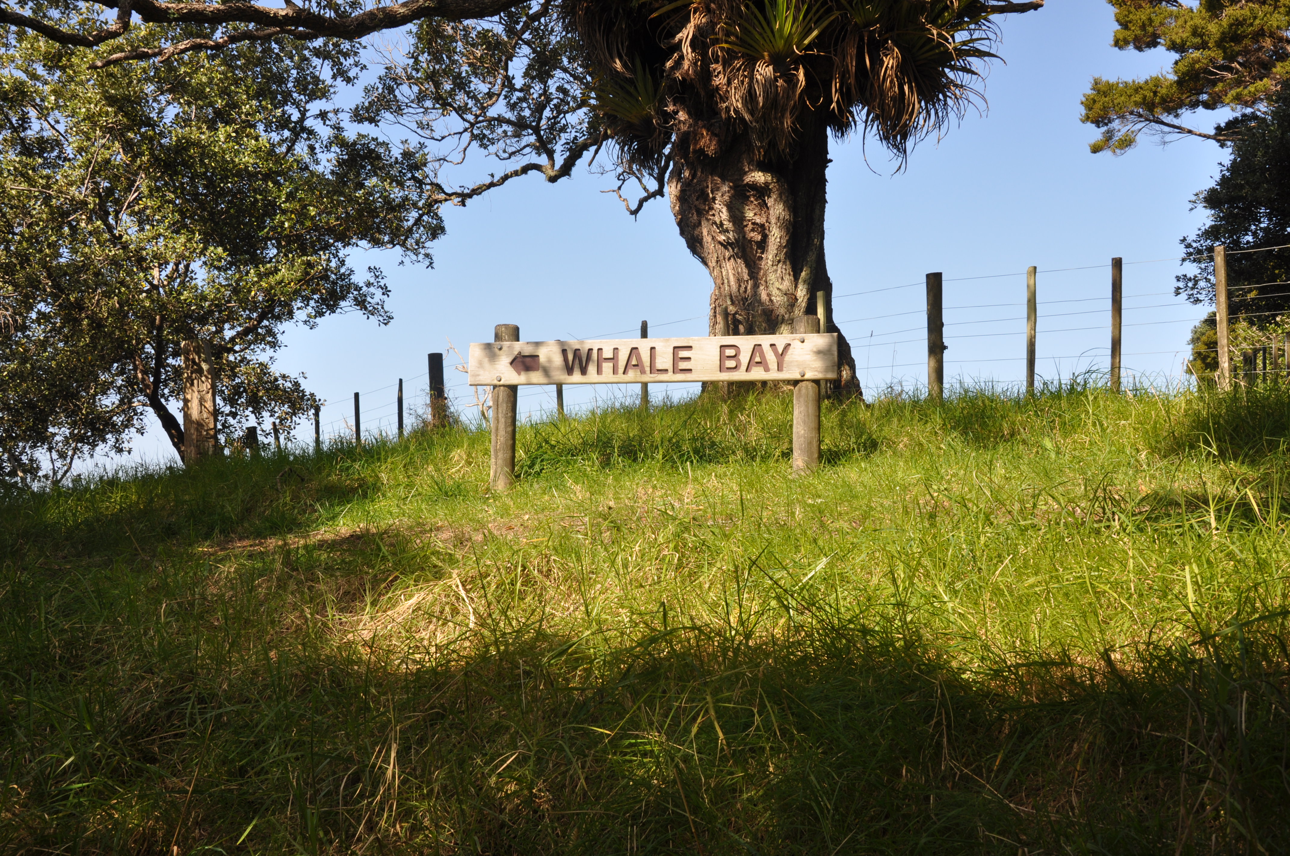
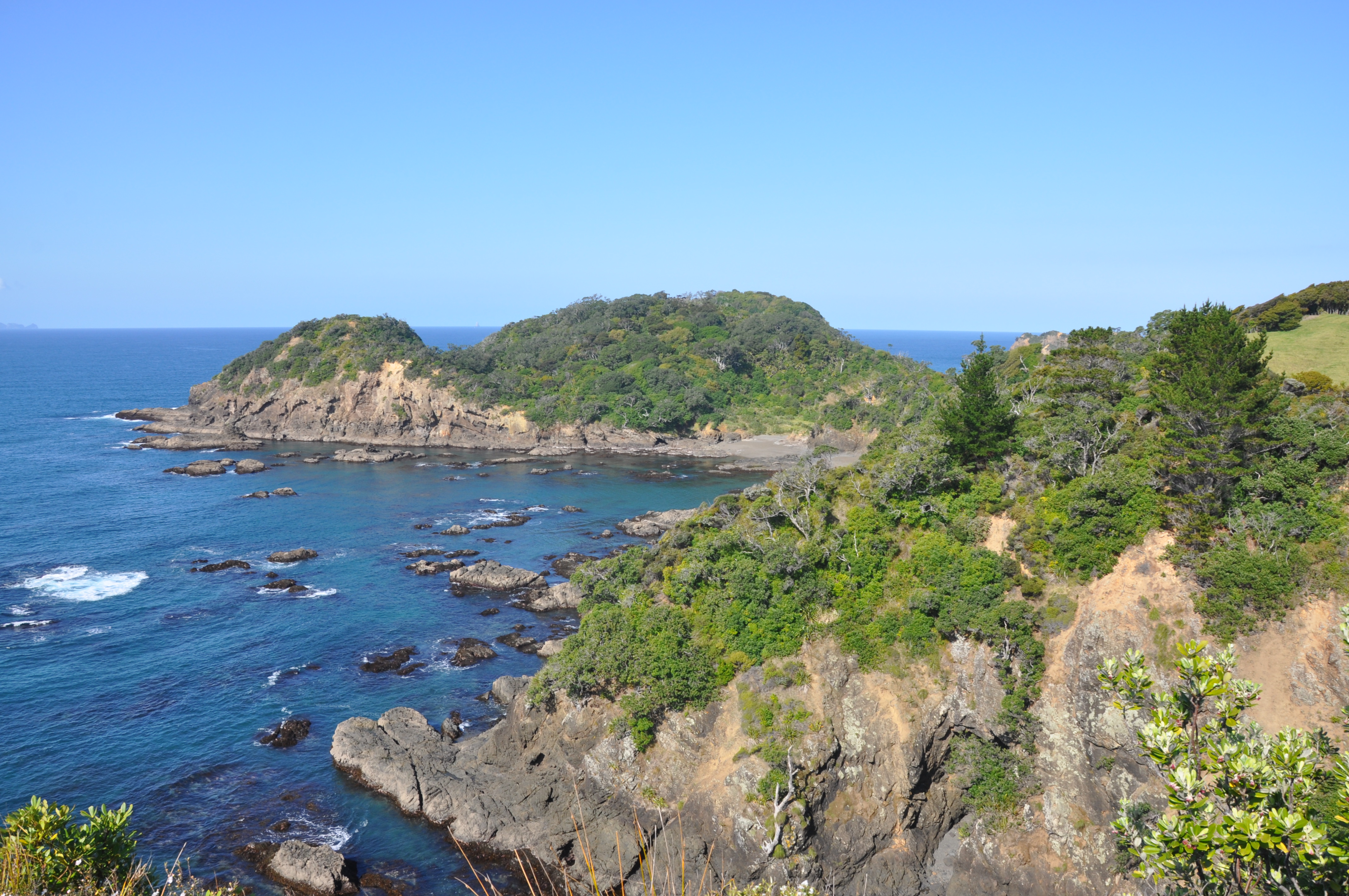
Our next stop was at Whale Bay where we took a hiking trail to an overlook.
There were paths leading down to the Bay, but the path along the ridge and out to the overlook had such amazing views and unique flora. We kept hearing some electronic sounding noises – hard to describe, but something like a dialogue from R2-D2 if it were slowed down a little. We eventually spotted the birds making the sounds. Their plumage didn’t do justice to their calls – sort of like small crows. While driving we have also seen several pheasant-like birds flying by and a very large hawk-like bird dining on some unfortunate rodent.

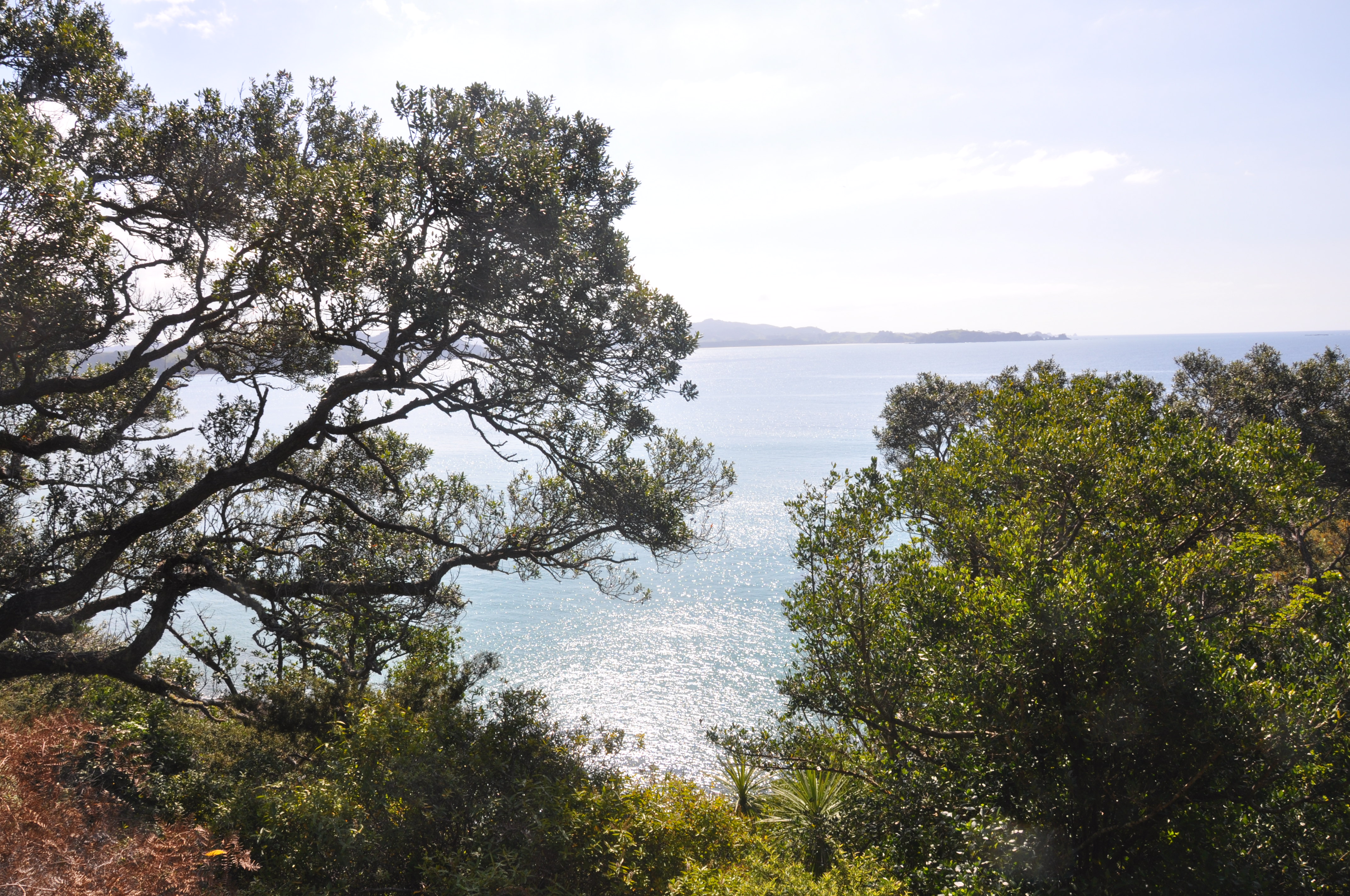
Stunning views at the overlook at the end of the trail, and a nice opportunity to chat with a local resident that was enjoying her daily hike.
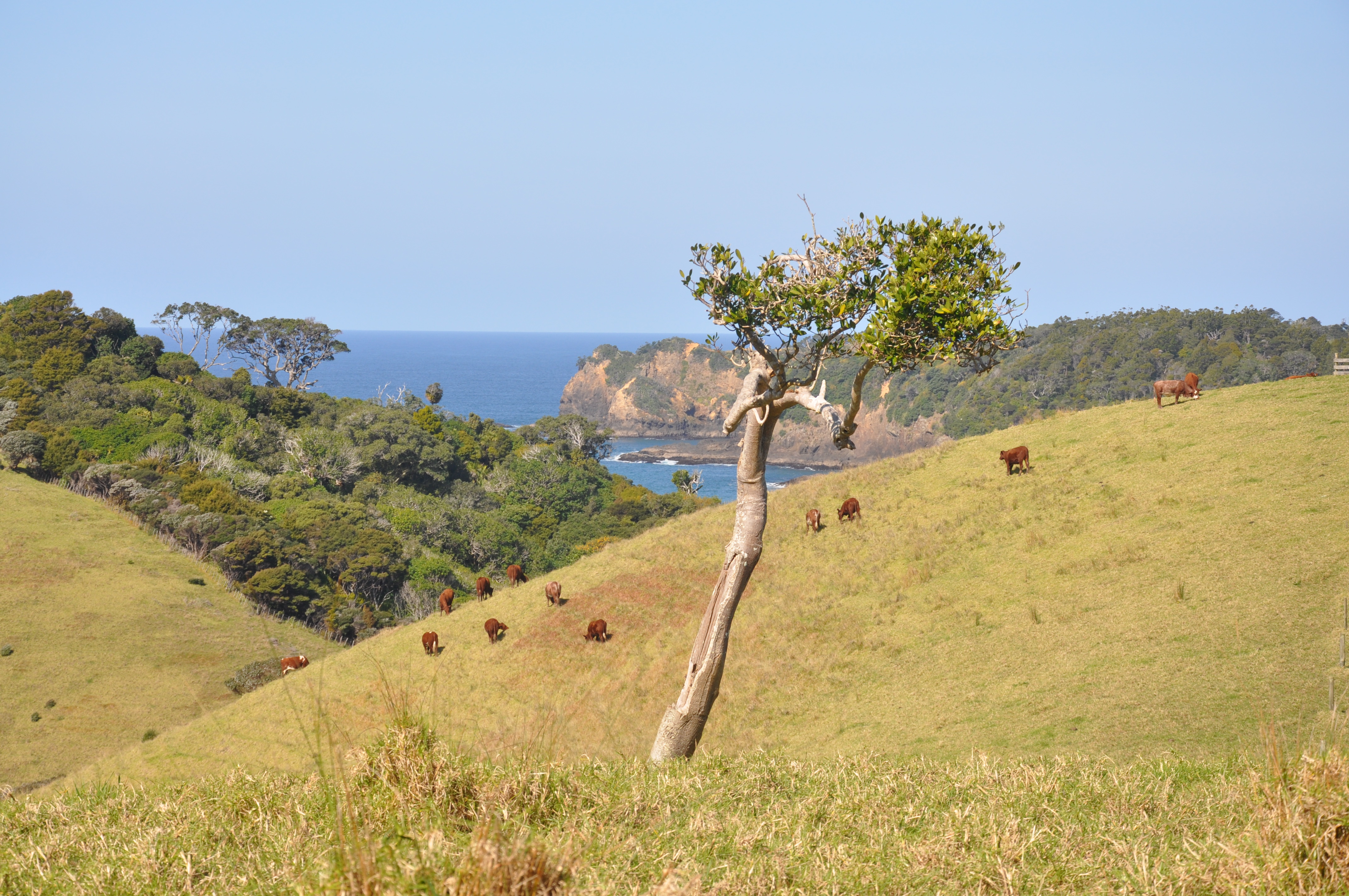
There have been quite a few dairy and beef farms on the drive. Not sure that these cows appreciate the view they have from their field as much as we do:
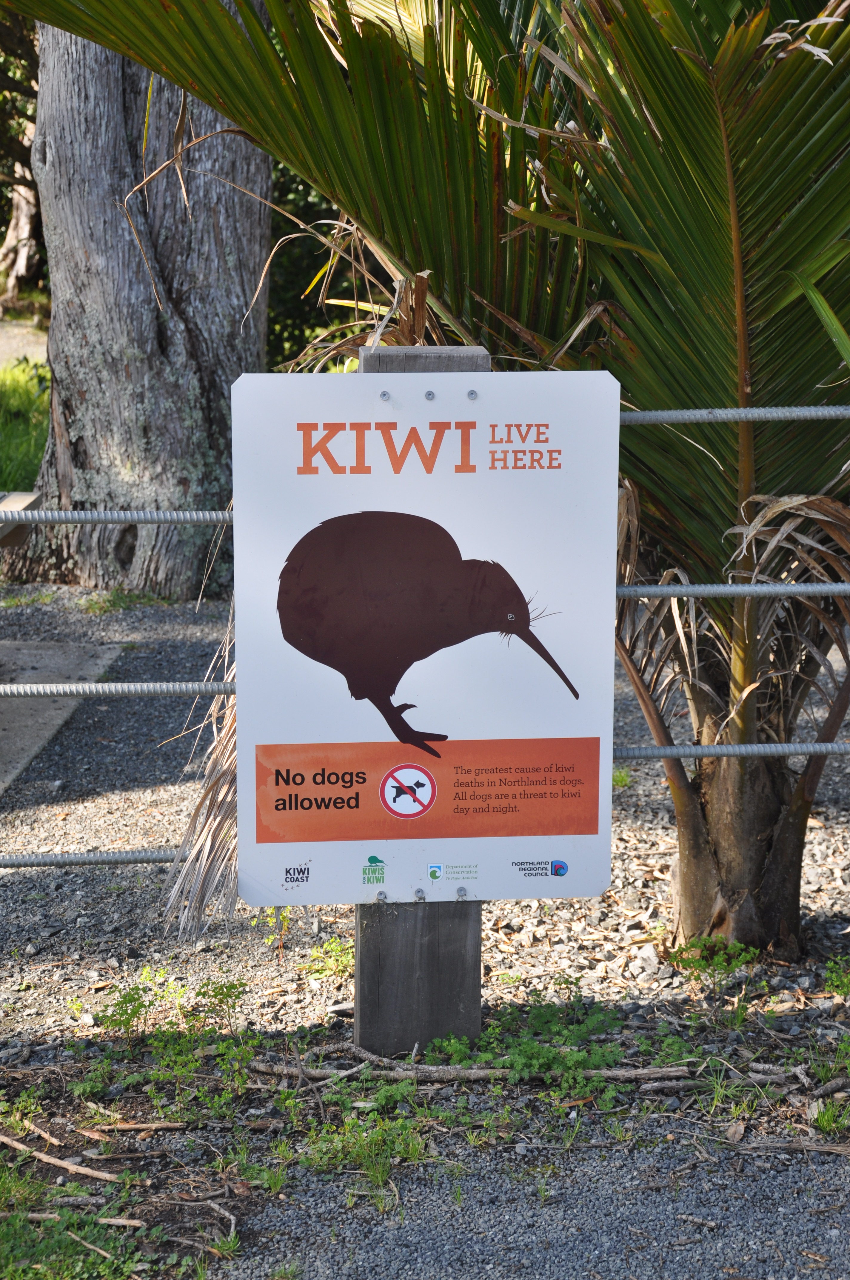
The kiwi population (the birds, not the people) has declined dramatically in New Zealand. There are signs in areas where kiwis are living and they are all posted to make sure that people keep their dogs away – I guess kiwi is a preferred snack for dogs:
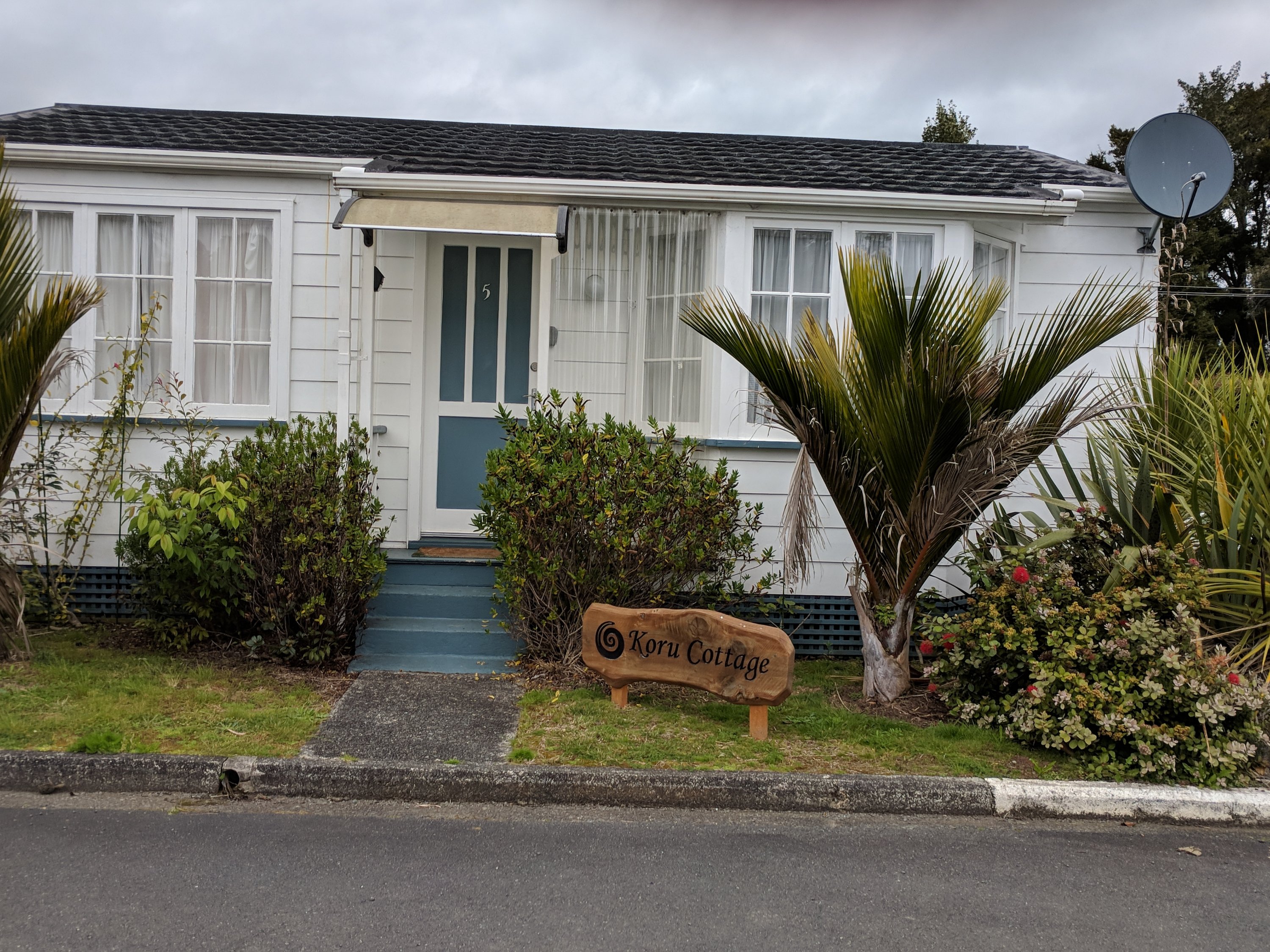
We got to the cottage in Paihia about 5:00. It is incredibly well furnished in a neighborhood of several dozen little cottages about a mile outside of the town.
We had a great meal in a restaurant on the pier and came back to a fairly chilly cottage, which was getting chillier before we went to bed. We made an attempt to adjust the thermostat, but it wasn’t obvious about what to do. By the morning the temperature inside had dropped to 50 degrees (it was about 39 outside). After some Googling Jeannie determined that it isn’t a conventional heating system, but rather a heat exchanger, which explains why there were curtains in front of the doors – to hold heat in as much as possible, and why there were two electric heaters stowed in the corner. A note from the owners would have helped, but we eventually unthawed enough to get ready for day 2 in the Northland.
Thursday, 9/13
The plan for the day was to ride Pou Harenga Tai (the Twin Coast Cycle Trail) starting in Opua. It was a short drive to Opua, but we spent nearly as much time trying to figure out where the trail began (which Jeannie discovered by asking at a bike rental shop), and then finding someplace to park once we got there. We backtracked to a parking lot next to a pretty marina where we loaded up Tom’s bike with several bags full of gear and we began our biking experience in New Zealand.
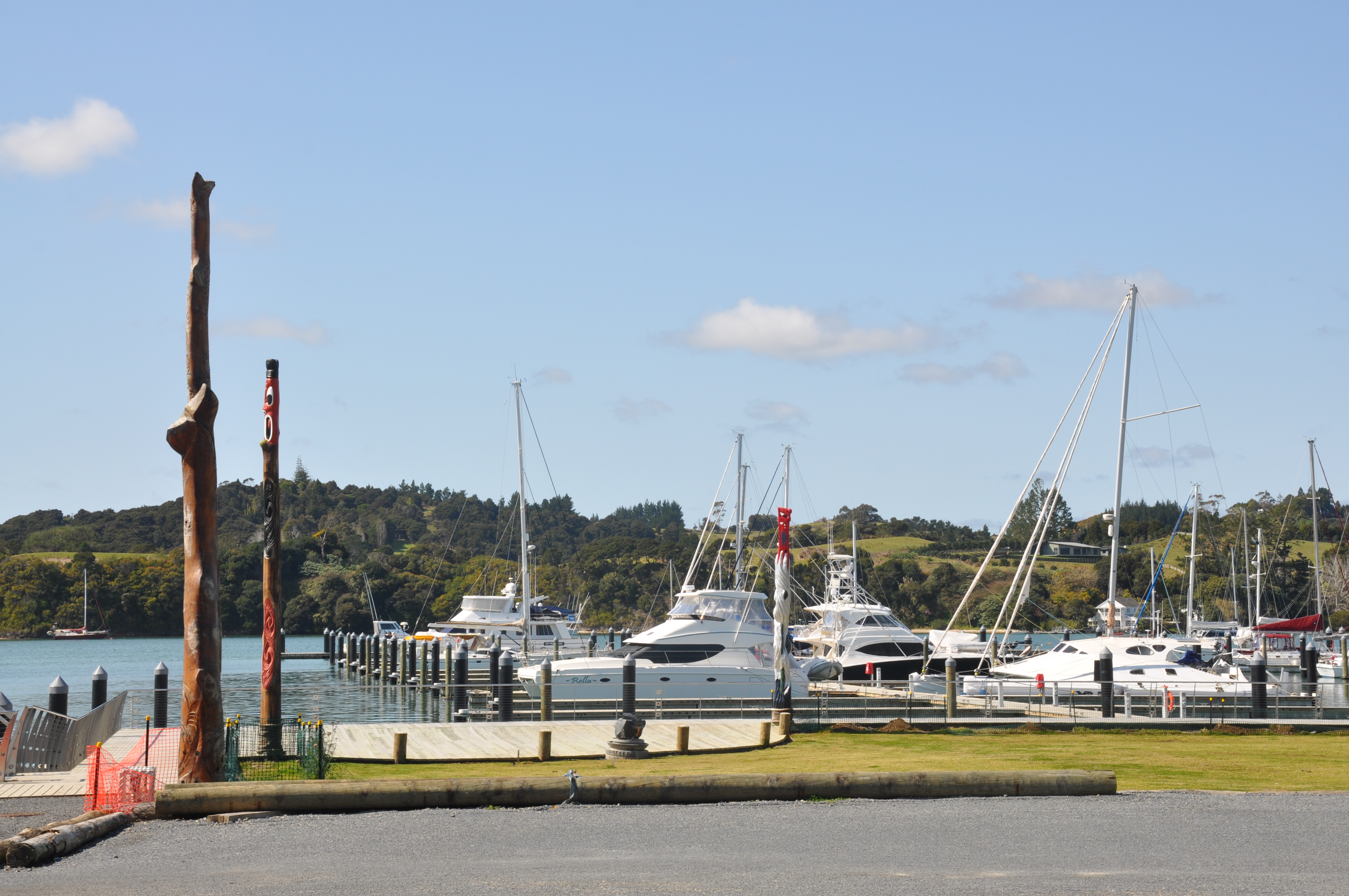
It started off a bit scary for a pair of road bikers. The trail is mostly stone dust that seems to have been thrown down on a rail bed making a very narrow path with steep banks on either side. The first few miles were very beautiful along a body of water and through some interesting vegetation but we were both gripping those handle bars pretty hard!
We had read that there was a detour on the trail to bypass a tunnel that was closed for repairs, and it indicated that there was a steep climb on the detour. However seeing the sign and the path ahead made us feel like they had downplayed how steep the climb was.
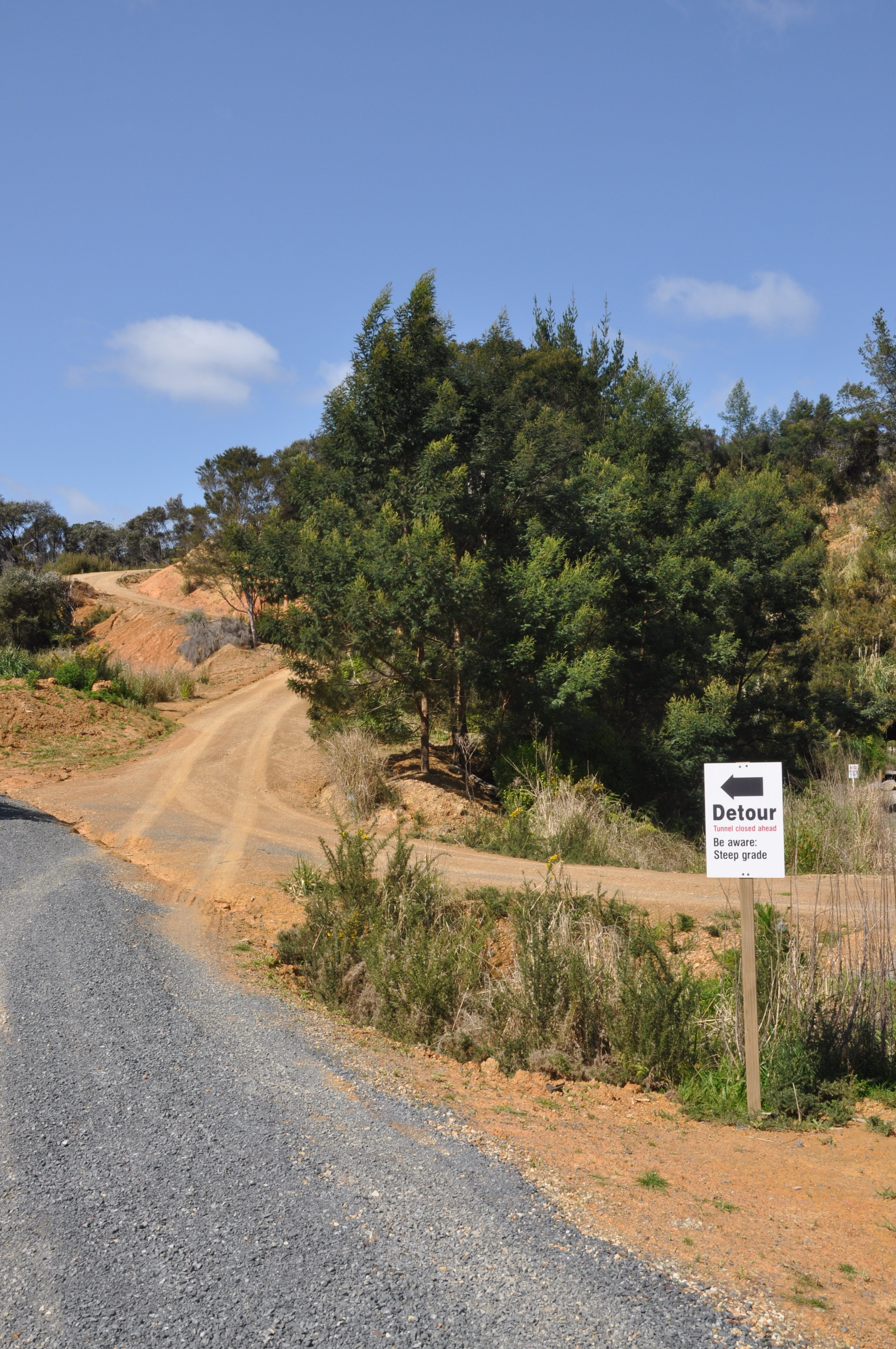
However when we got to the detour sign it was clear that the detour didn’t go up the steep dirt path right in front of the sign, but instead went up a more gradual, stonedust path. And, we could also see that the tunnel was not barricaded; and while deciding if we should “go for it”, two riders came through the tunnel from the other end and said that it was fine to ride through.
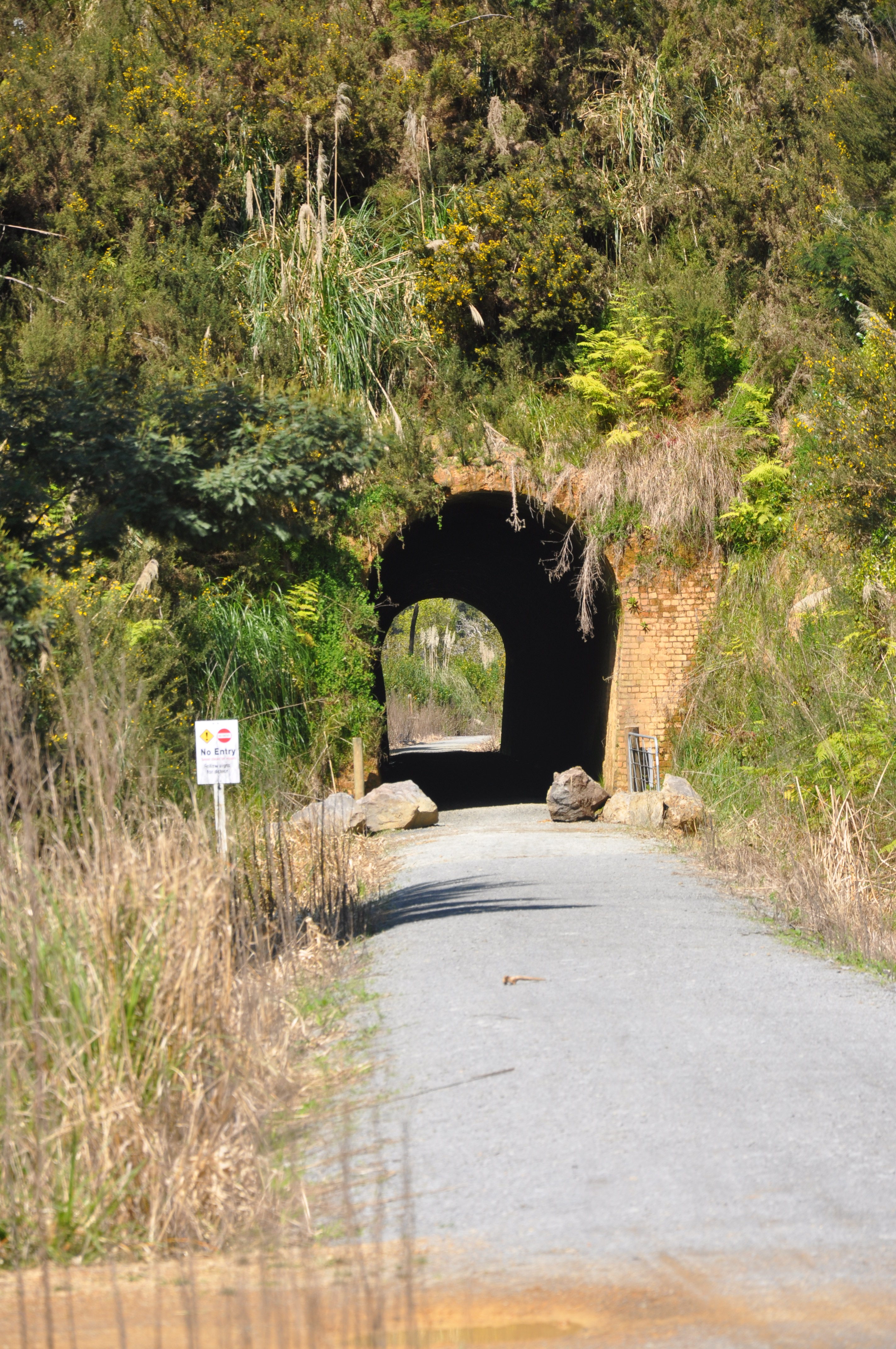
The tunnel is maybe 100 yards long with no lighting and some potholes and puddles in it, but quite navigable. It would have been easier to navigate if we had remembered to take off our sunglasses and turn on our bike lights before we entered the tunnel rather than in the middle of the tunnel when we couldn’t see more than a few feet in front of us.
We quickly learned to navigate gates that appeared at seemingly random intervals; maybe just to make things interesting
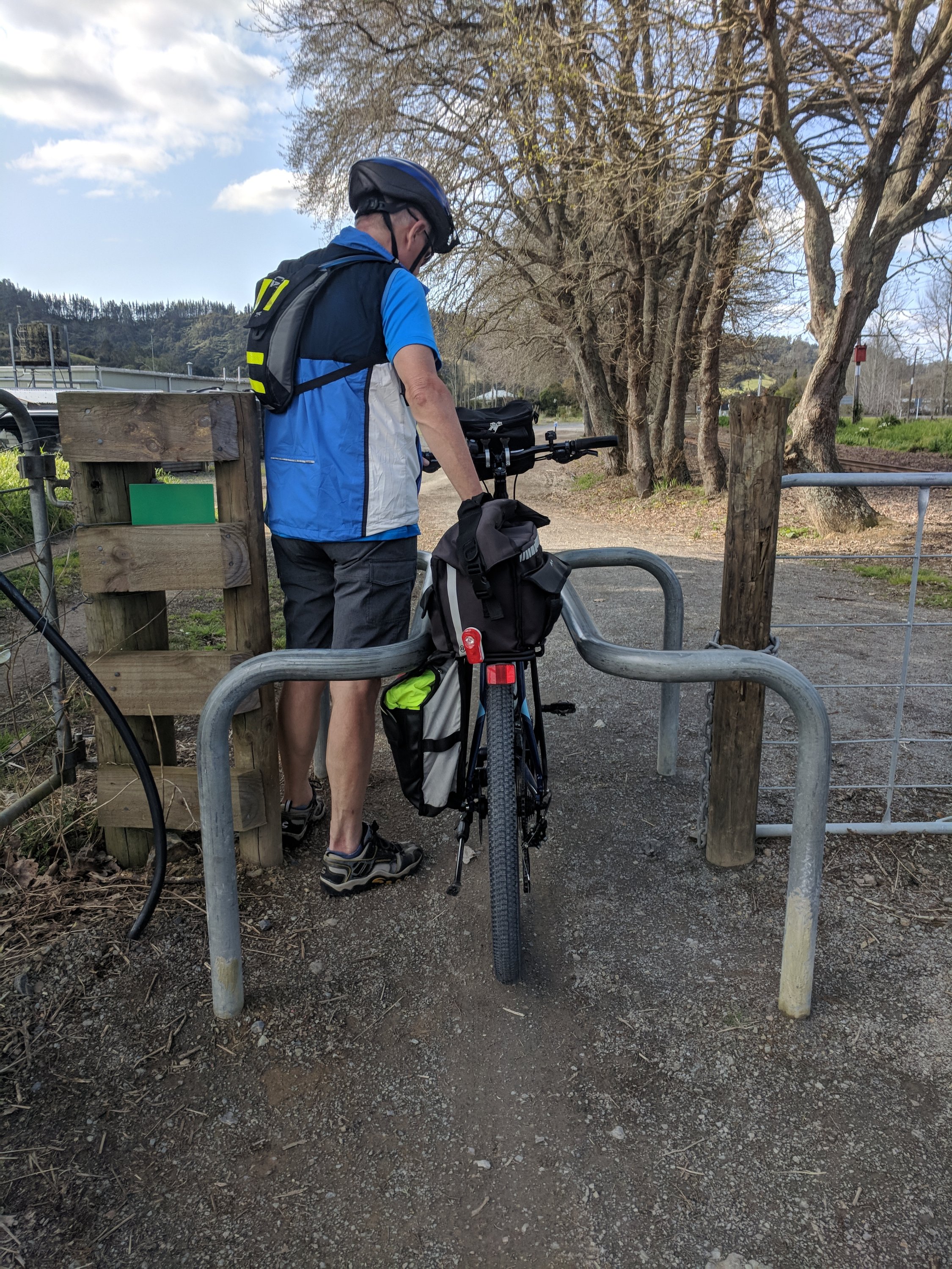
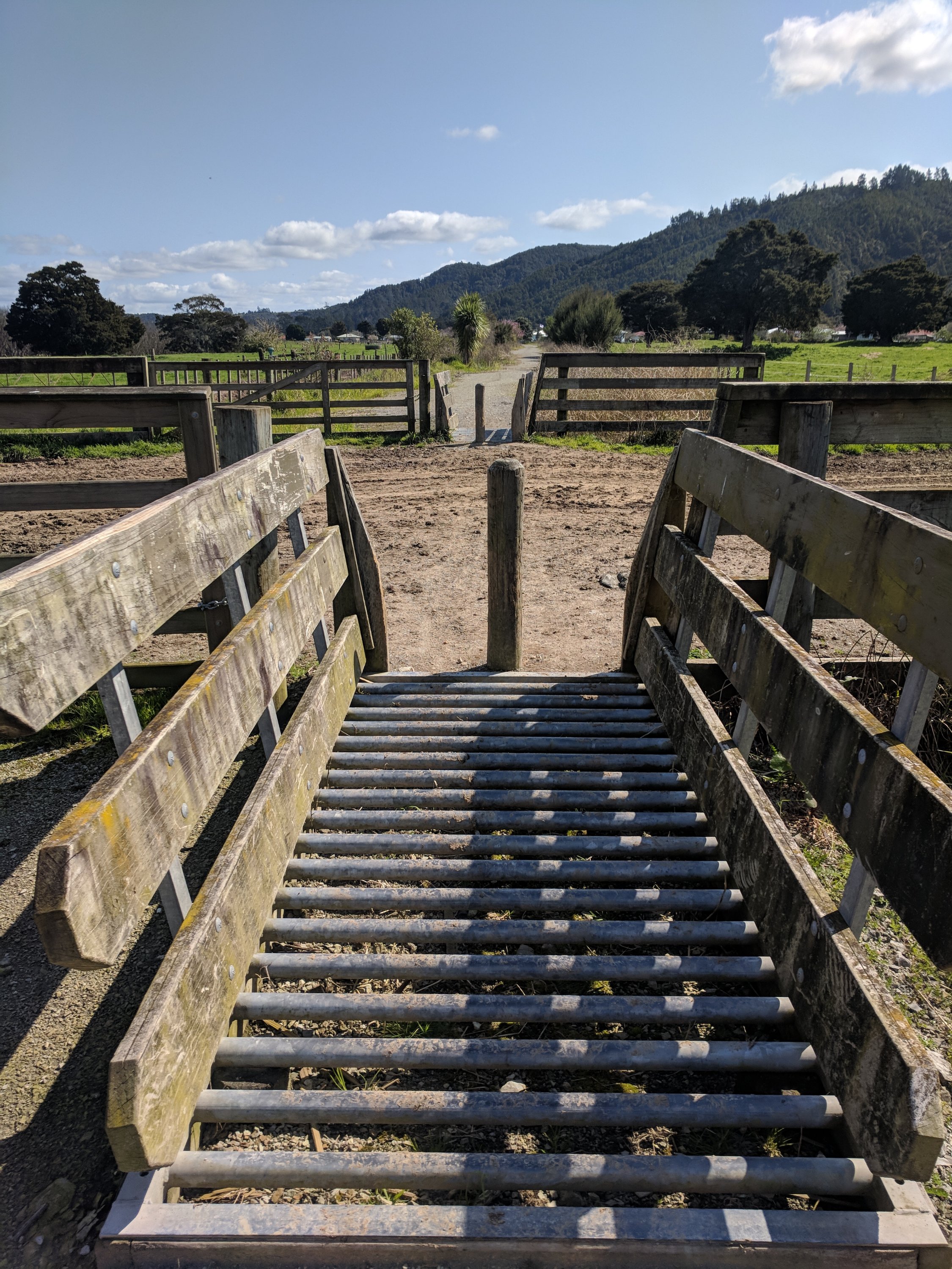
The trail had quite a bit of surface variety including cattle grates, patches of mud, big loose gravel and of course, railroad tracks.
A few miles in we encountered a bridge that had railroad tracks on one side and a very, very narrow boardwalk next to the tracks for riding.
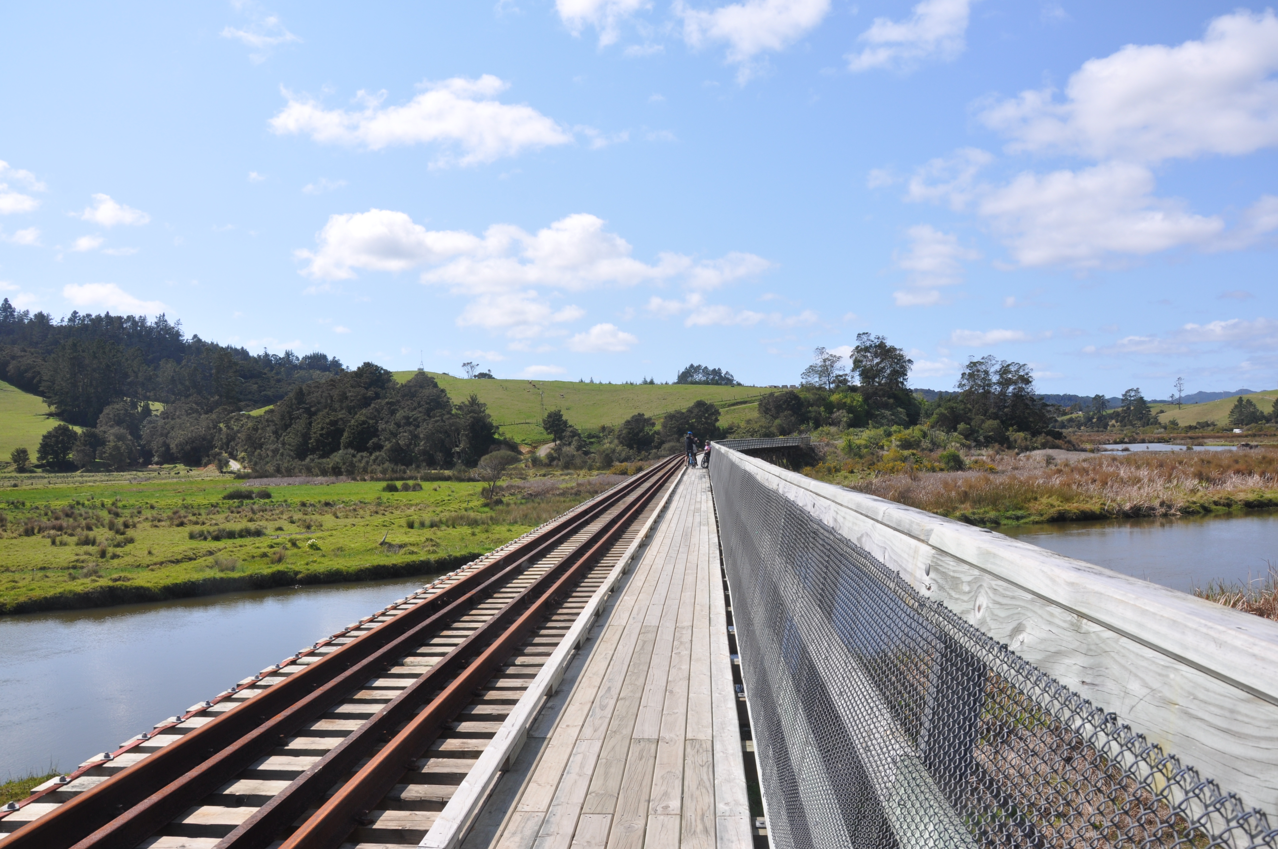
We both wimped out and were walking across when a couple of local riders came the other way and stopped to chat. Just as they were leaving the woman as an afterthought said oh yes, beware the magpies up ahead. They are nesting and will dive bomb your head to protect the babies! We had read about this in a couple of travel blogs and I recalled people mounting all kinds of crazy stuff on their helmets to try and scare the magpies away so I grabbed my helmet mirror and stuck it straight up on my head.
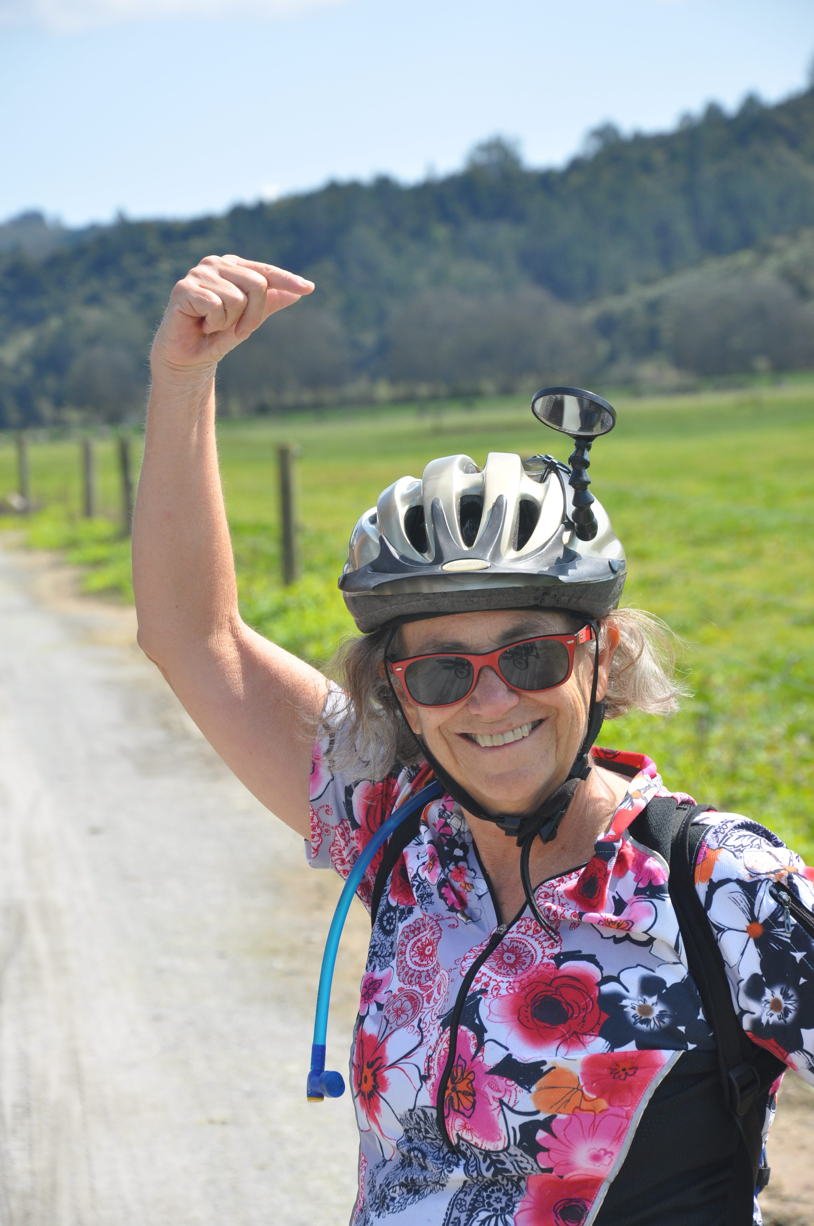
Number of magpie attacks? Zero!
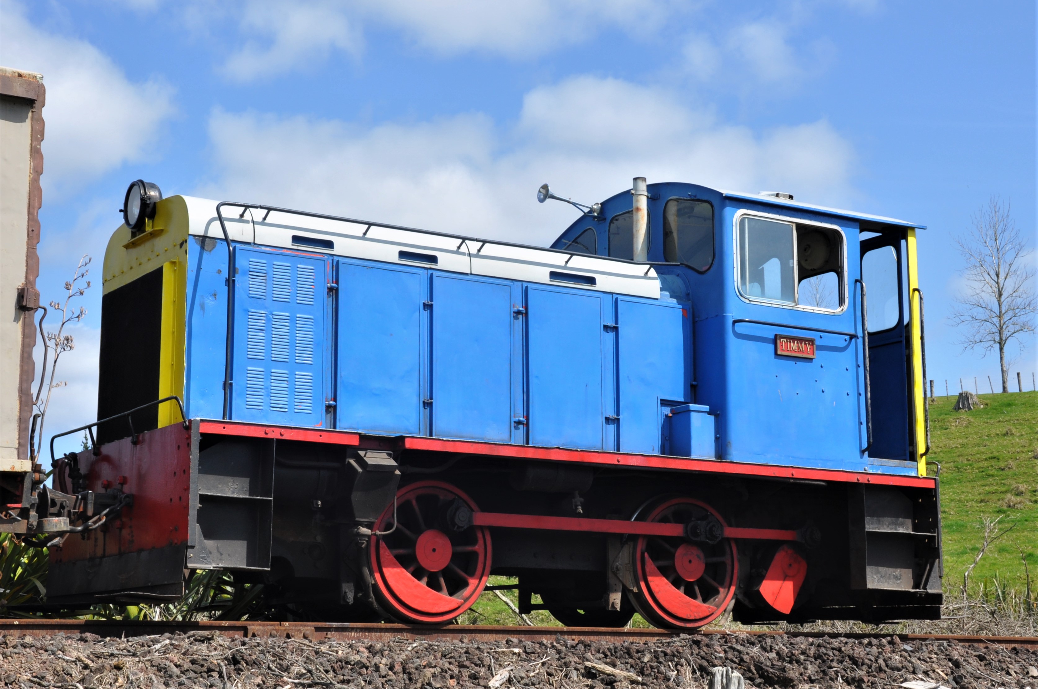
They have maintained the tracks for a few miles between Taumarere and Kawakawa and they run historic trains on it on week-ends. The cycle trail parallels the tracks for this section. At one point there were a couple of guys out doing maintenance on the tracks. They had brought out Timmy the Tank Engine to help them with their work. I thought he lived on the Island of Sodor with his friend Thomas, but apparently he lives on the north island of New Zealand.
We had lunch at the station in Kawakawa. They have a lot of the railway cars there and quite a few people working to restore the trains and the grounds.
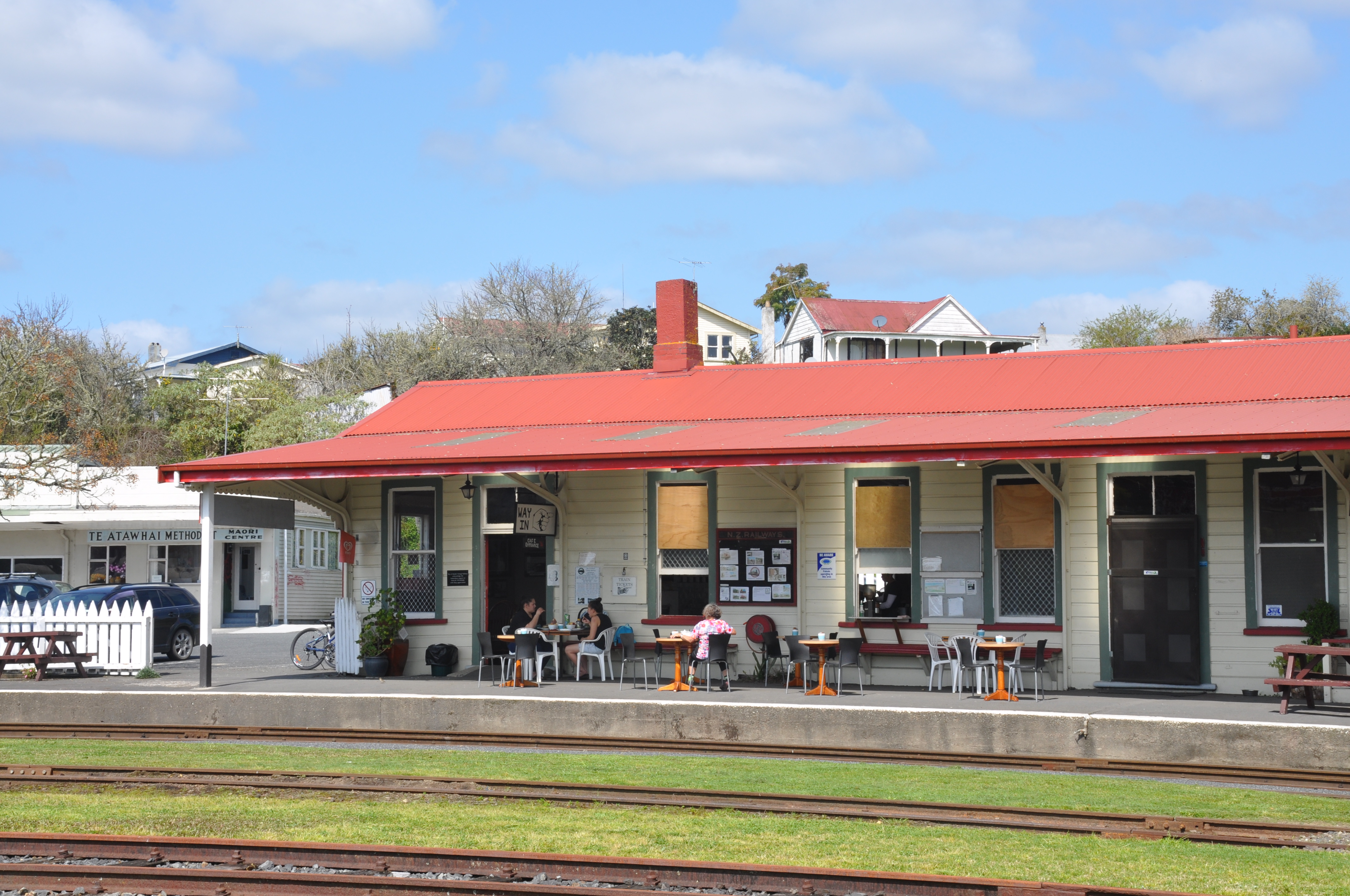
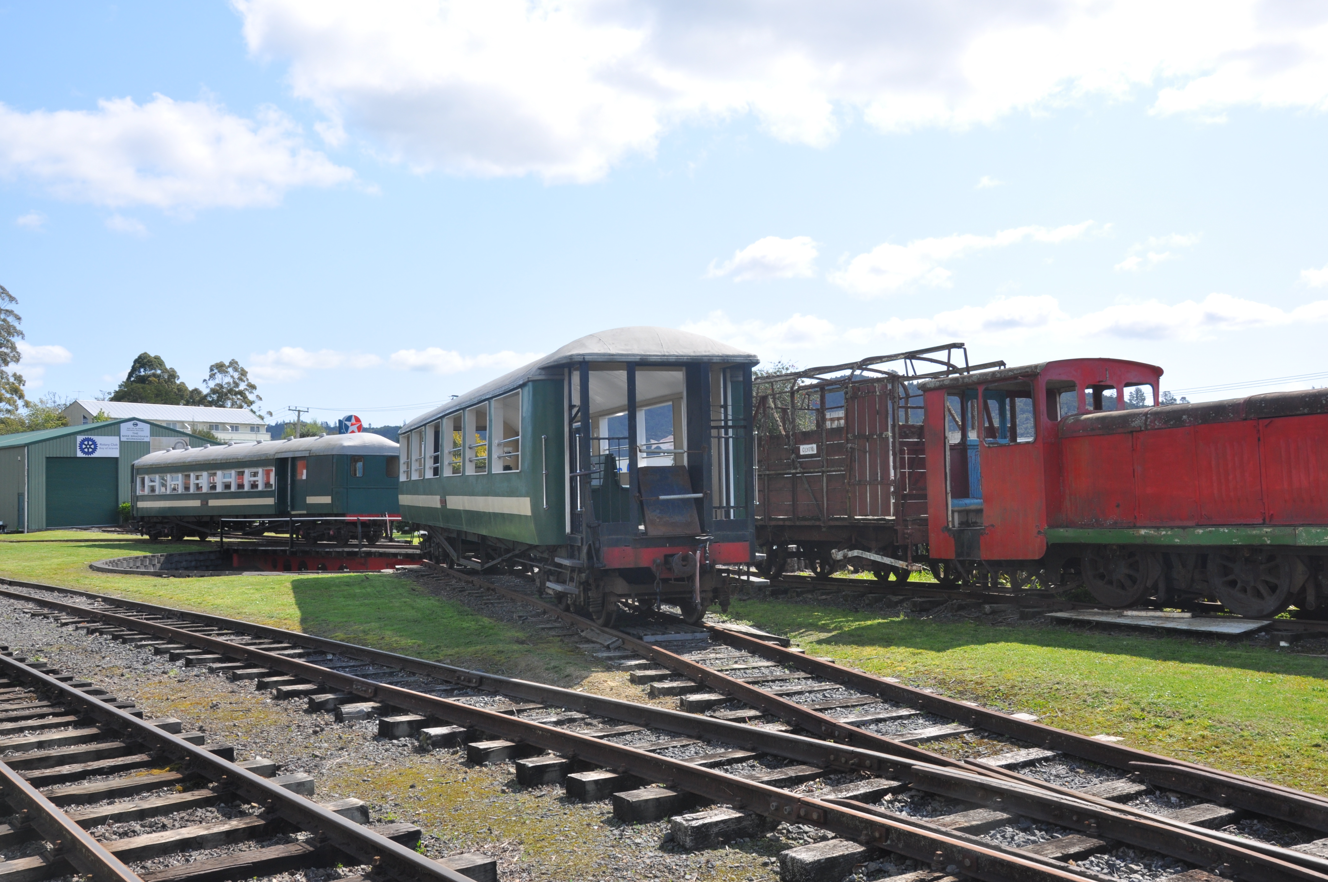
We went on a bit after Kawakawa and then decided to head back. Retracing our steps I found myself much more confident on the bike and trail. I even biked the whole way across that narrow bridge and hardly noticed the narrowness of the trail near Opua. The bikes are great with nice knobby tires and beefy suspensions. Poor Tom is carrying all of the load with a rack, trunk bag, front bag and pannier. I’m riding as light as can be and actually keeping up with him for a change. Works for me!
18 miles total. Delightful ride!
Friday 9/14
Today we traveled to the northernmost tip of New Zealand, Cape Reinga. It was about a 3 hour drive on decent roads with pleasant scenery; farmlands, occasional bays, some mountains – nothing really remarkable until we got close to Cape Reinga.
At an overlook just a few kms from the Cape we began to see the Tasman sea and what I think was part of ninety mile beach.
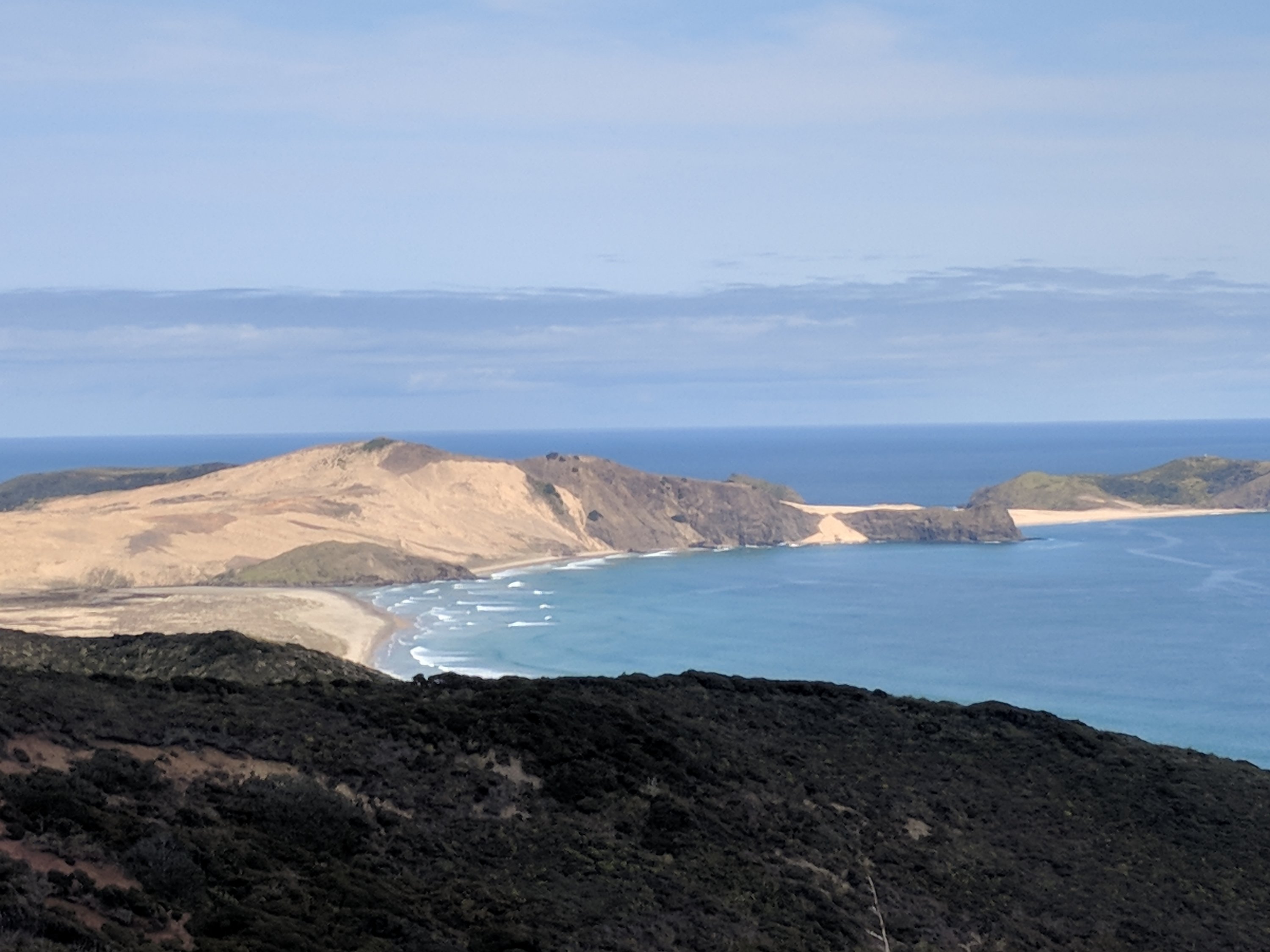
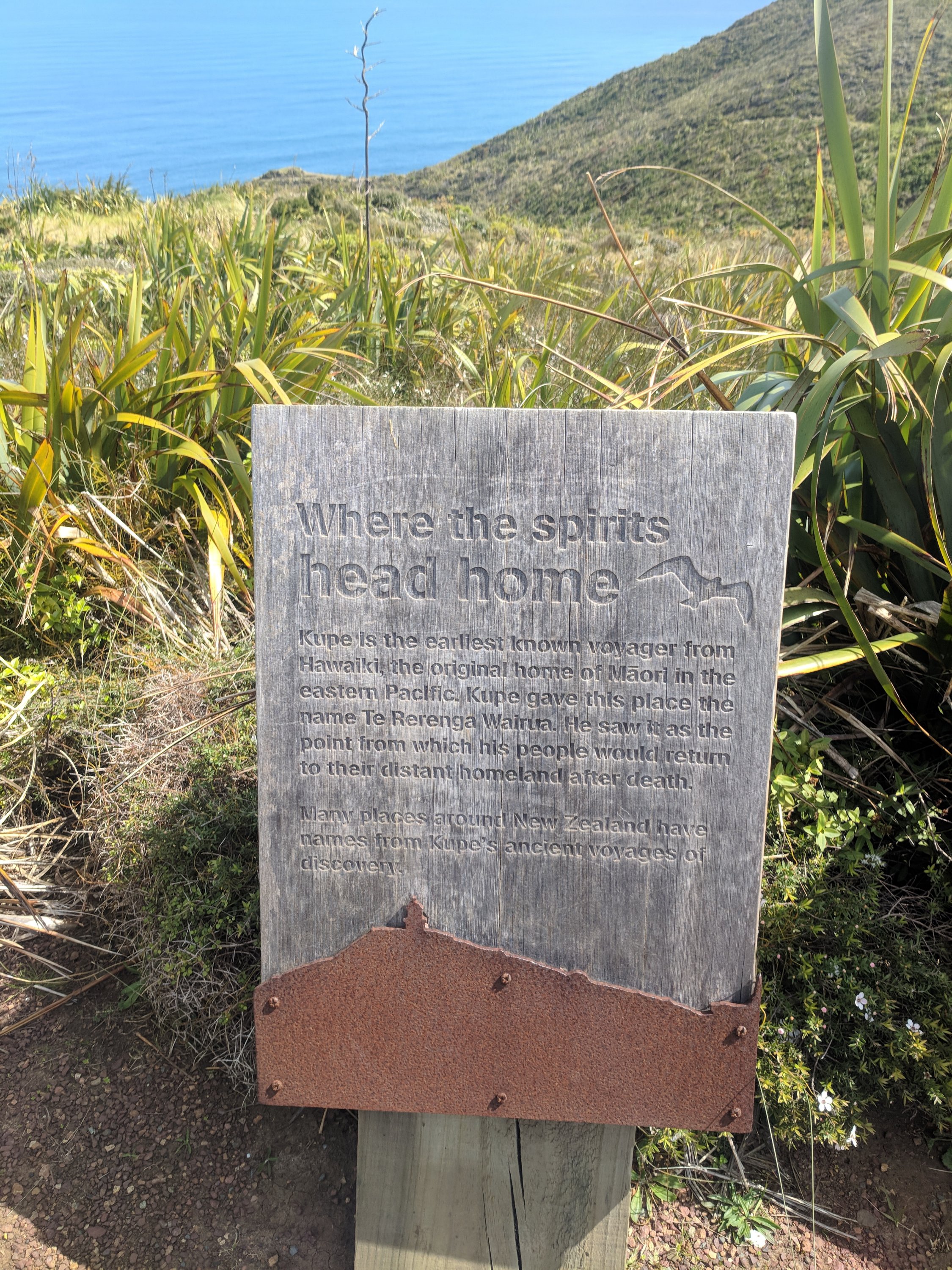
The Tasman sea and Pacific Ocean meet at Cape Reinga. The Maori name, Te Rerenga Wairua, means the leaping off place of the spirits; where spirits go to join the underworld.
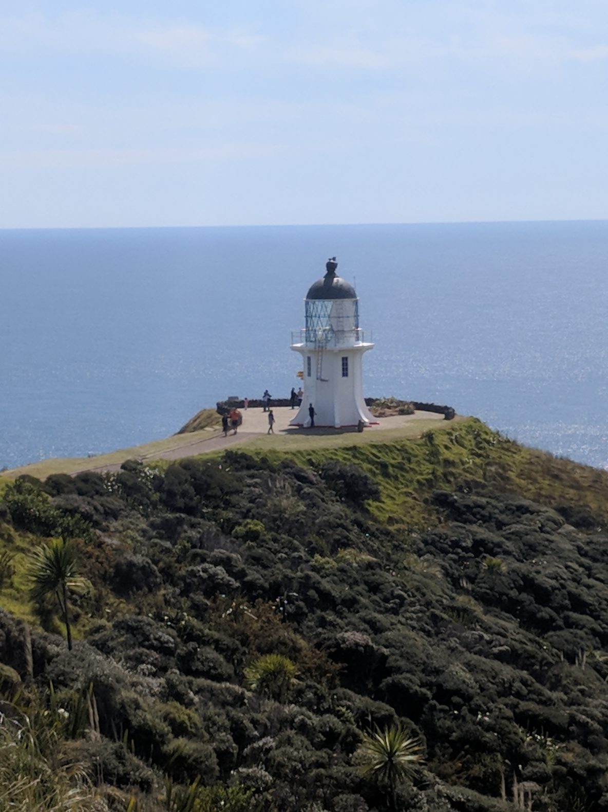
There is a lighthouse at the very tip reached by a long descending path with many engraved rocks with historical and environmental information. It was cold and windy at the top and quite warm by the time we reached the lighthouse. We definitely burned a calorie or two on the way back up!
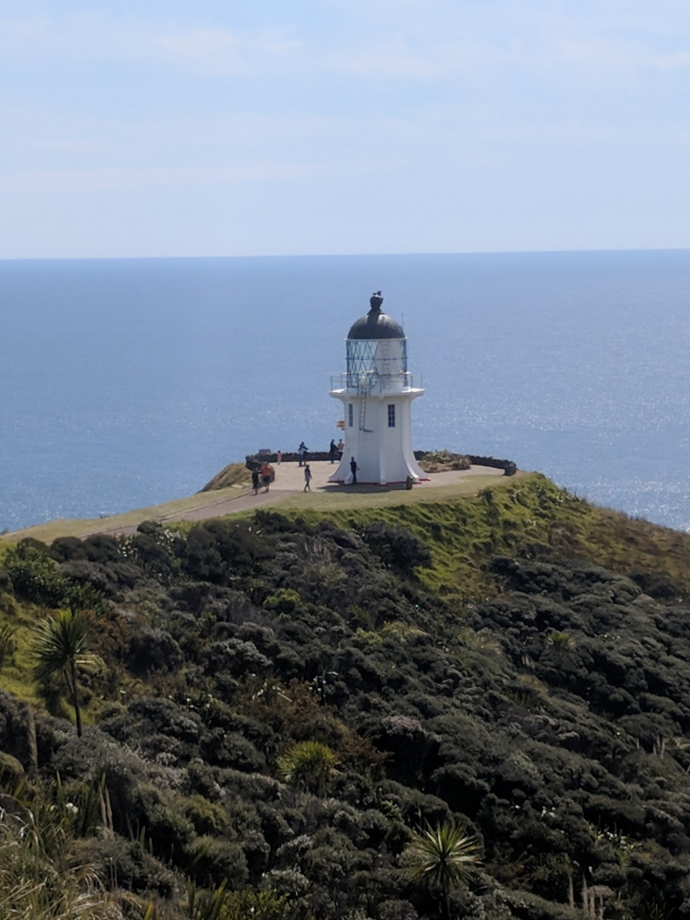
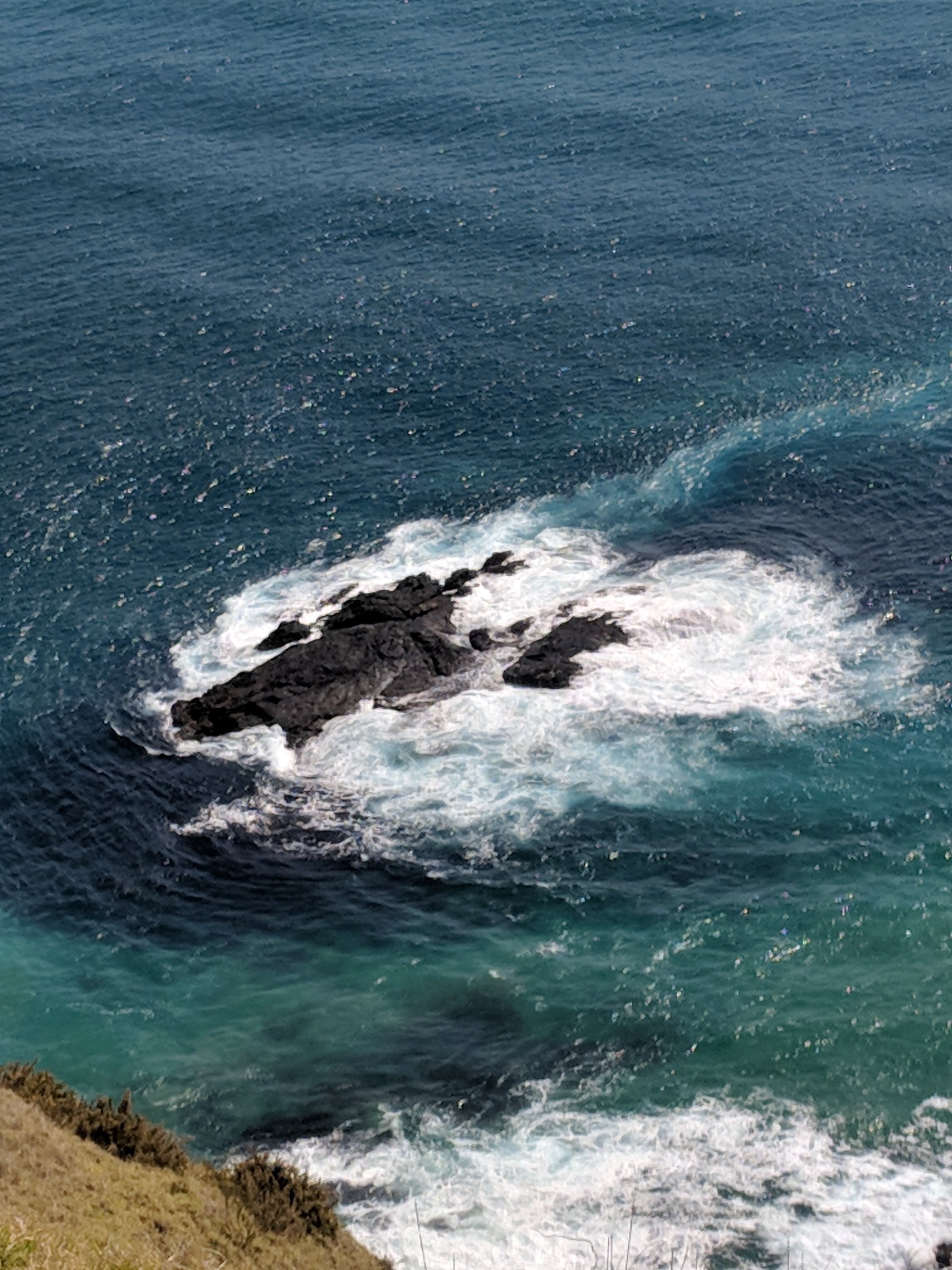
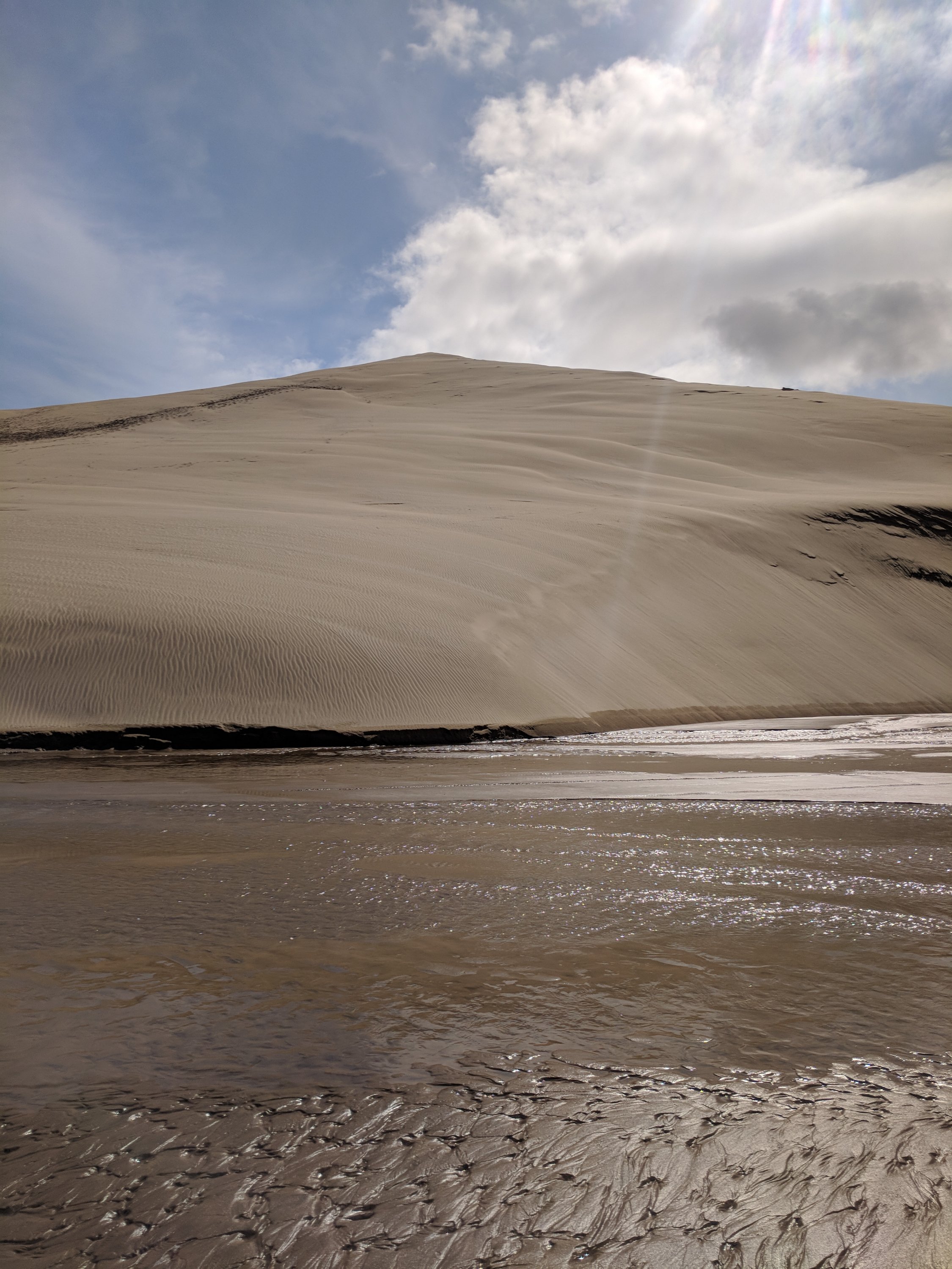
We brought the bikes with us hoping to ride on ninety mile beach. The beach at low tide is a popular route for tour buses and jeep treks. We had read that the beach and its giant sand dunes were accessible via Te Paki Stream Road, not far from the Cape Reinga visitor center so that is where we headed.
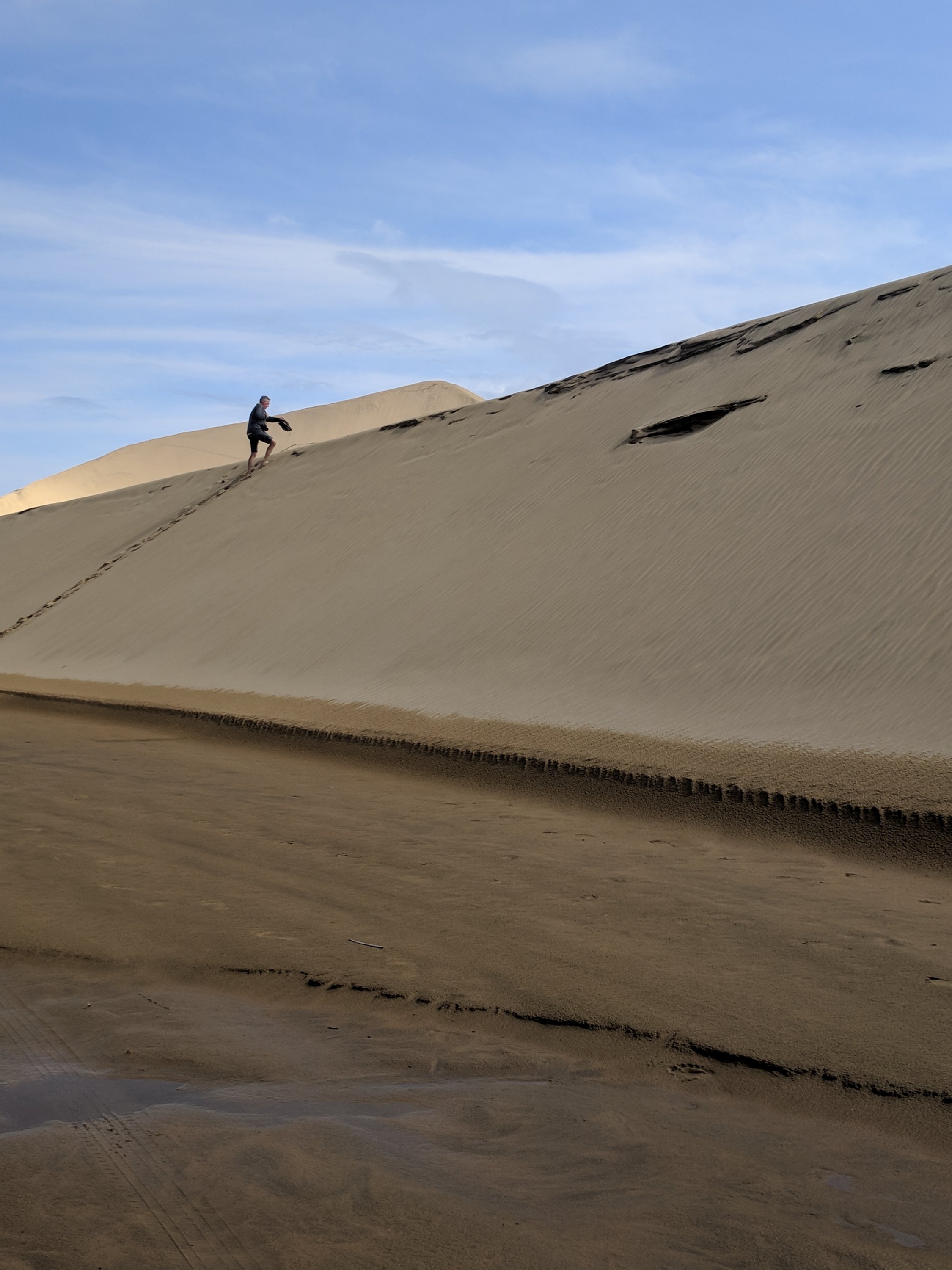
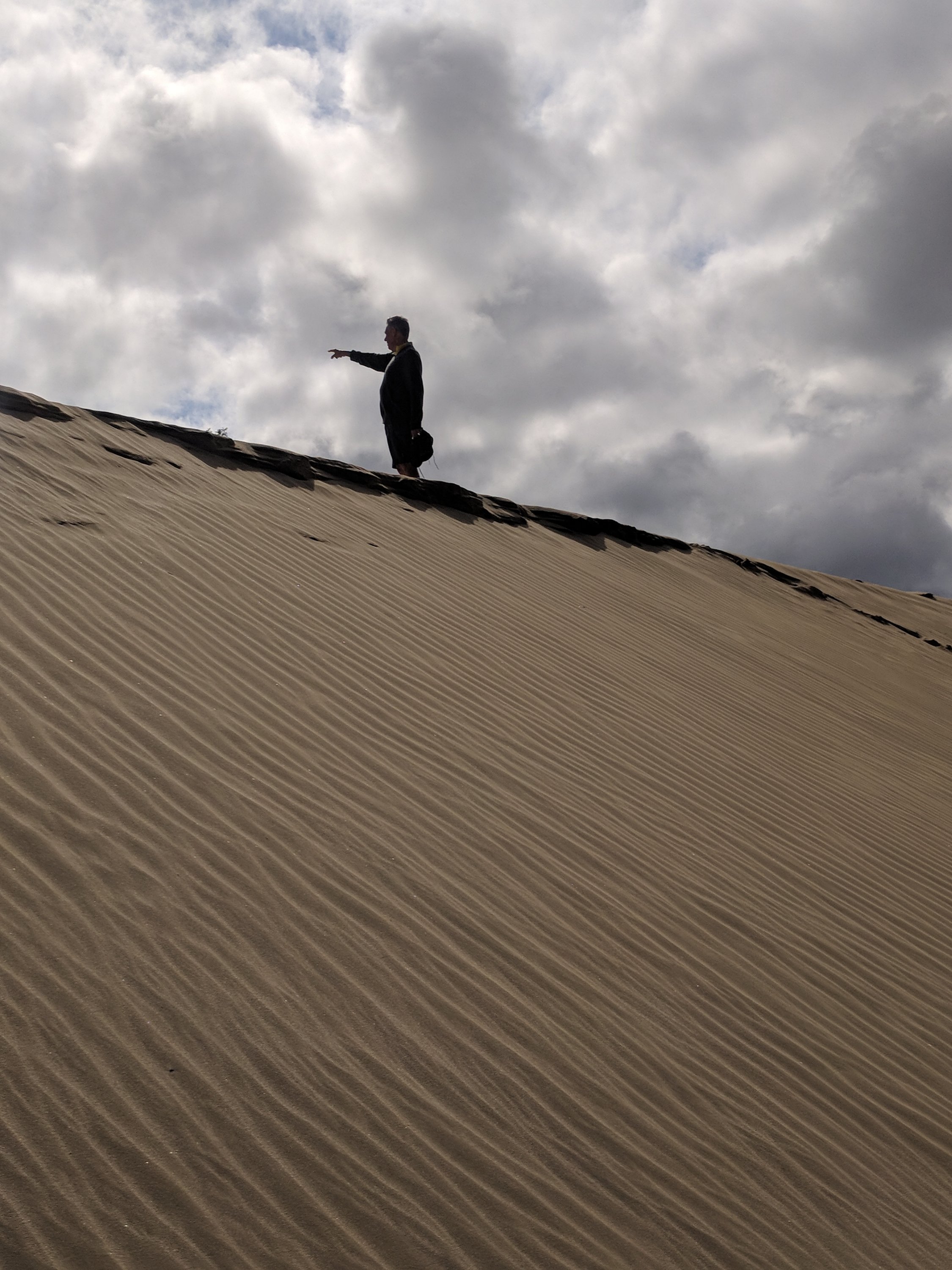
Yup, those are some giant sand dunes and Tom had fun playing King of the Mountain! Unfortunately the path to the beach was officially closed due to washout although one driver ignored the warning while we were there.
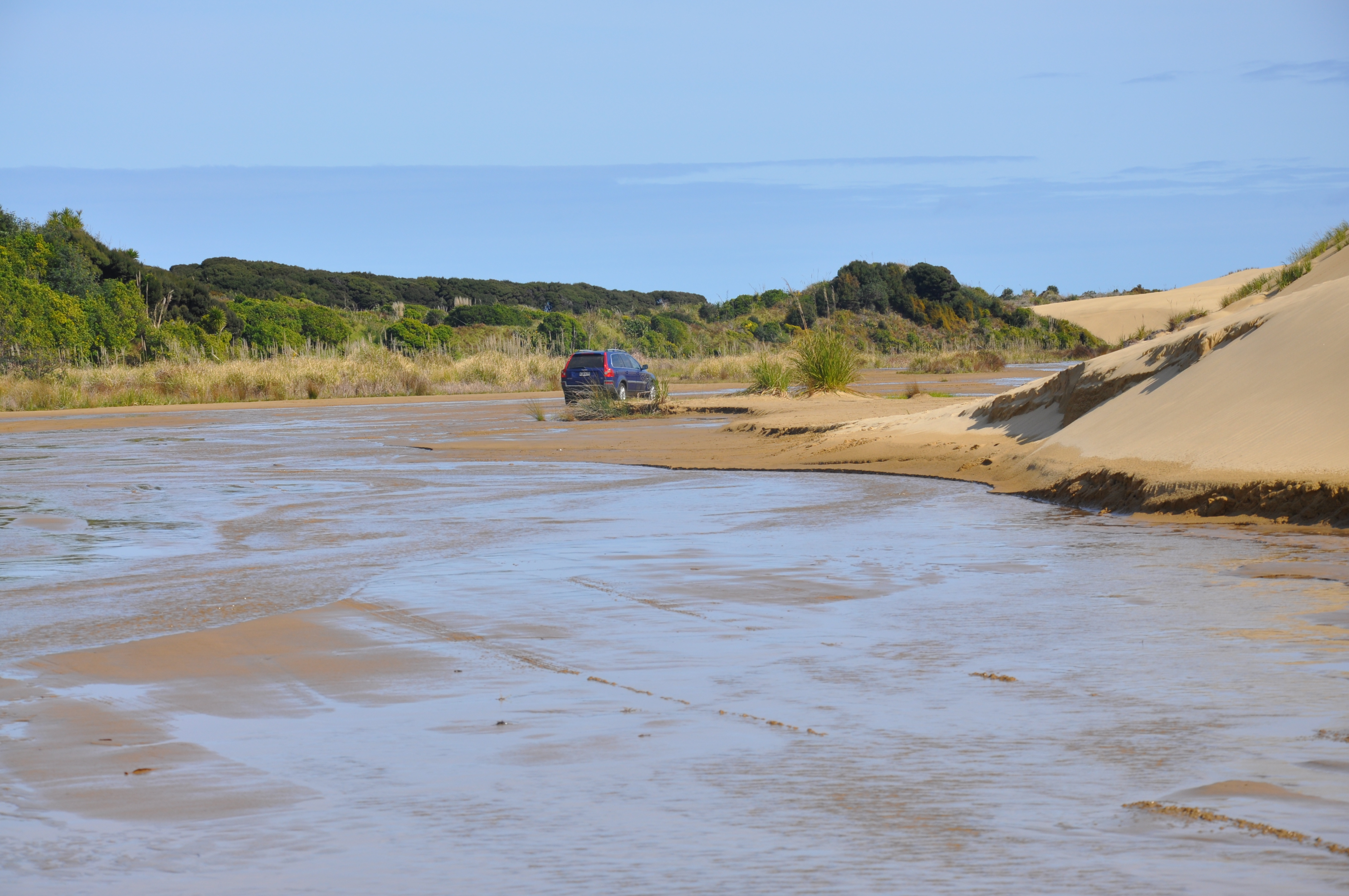
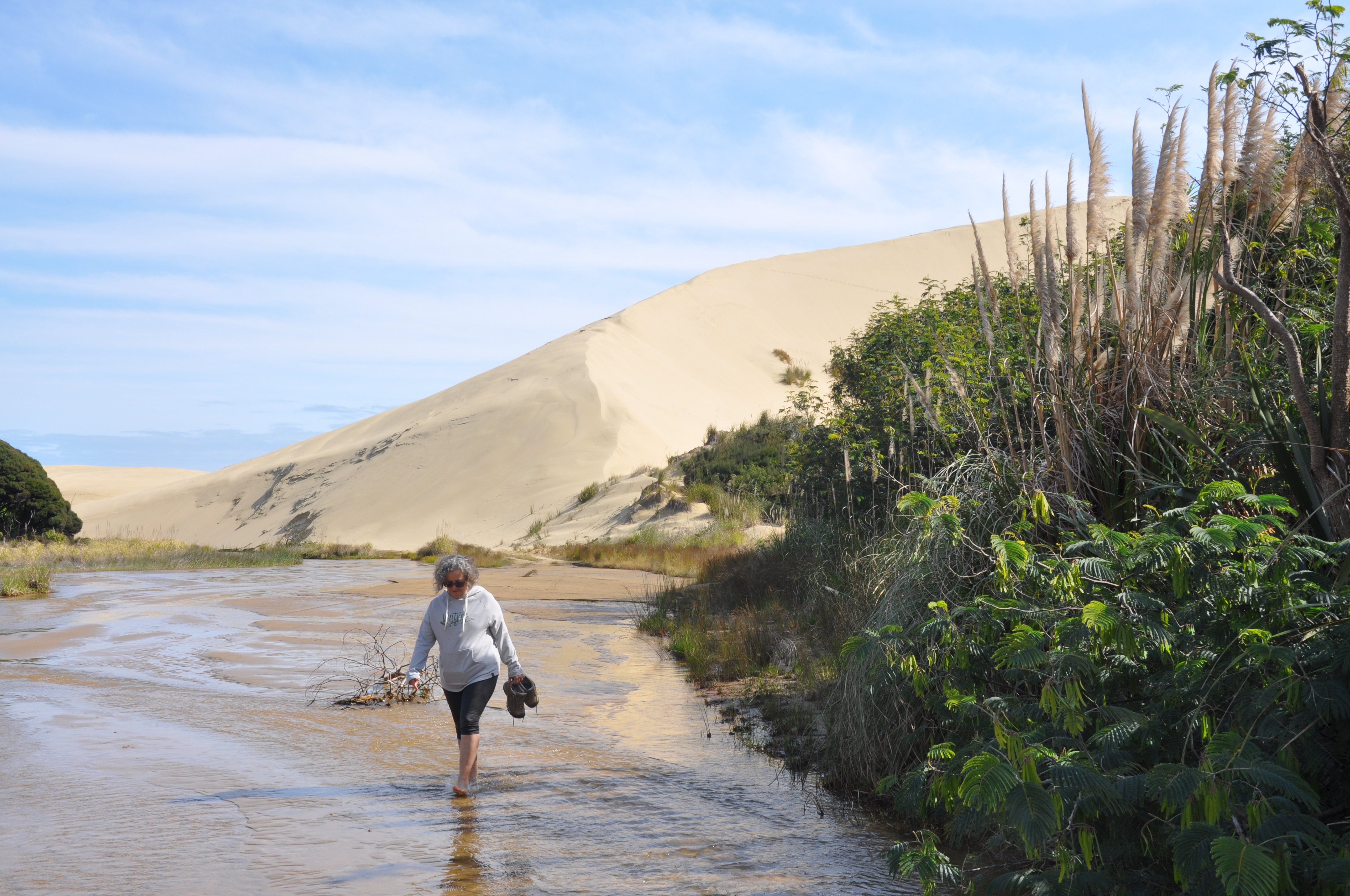
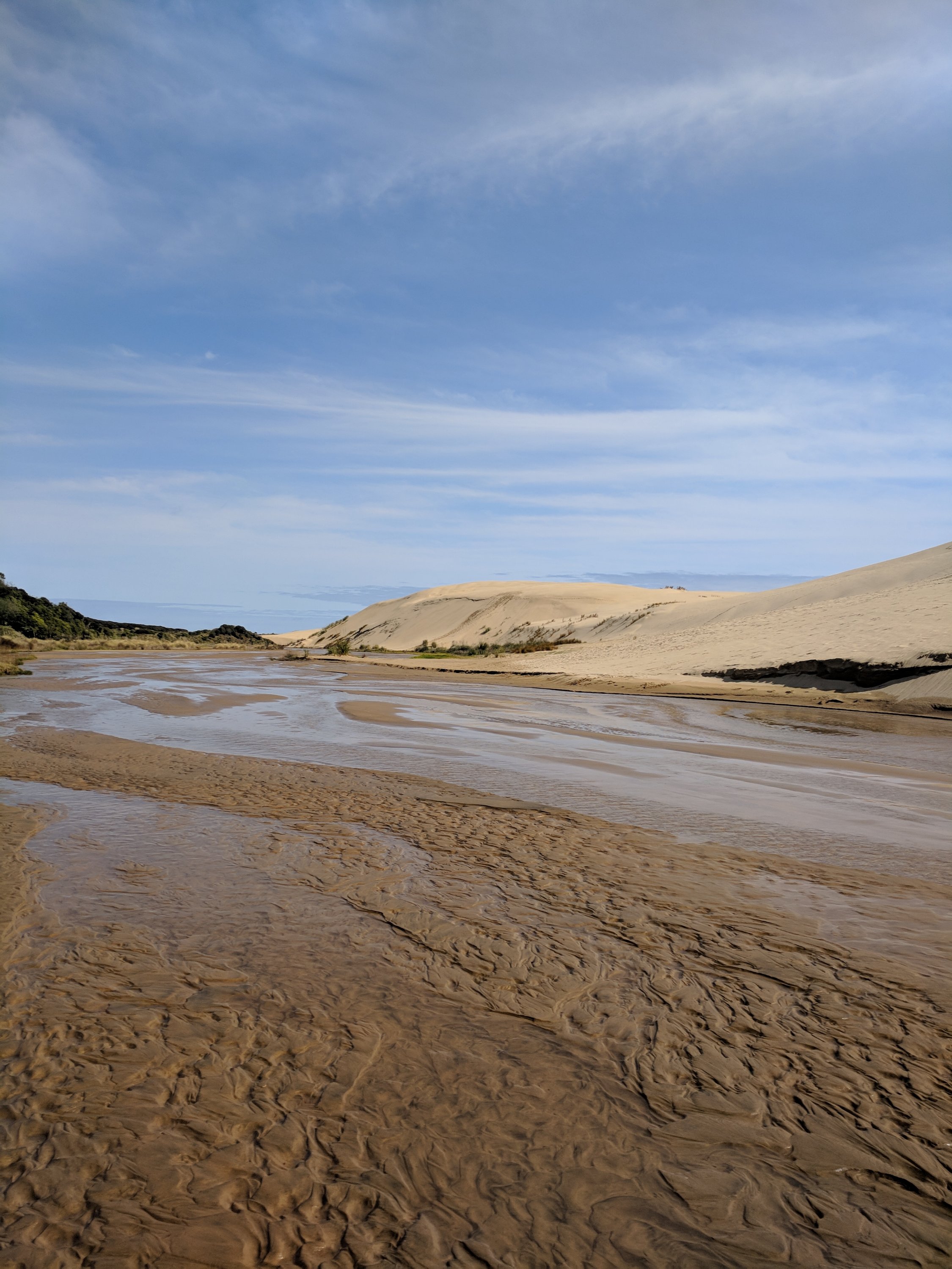
The track was too soft to bike, but great fun to take our shoes off and go for a walk.
Saturday 9/15
We visited the Waitanga Treaty grounds this morning, site of the original treaty signing between the Maori and the British. We expected to spend a couple of hours and ended up being there for nearly 5! The grounds are beautiful and they encourage you to watch an introductory film, attend a cultural show and take a guided tour. We did it all and spent time in their museum and it was all very interesting. The cultural show was held in a meeting house and followed the traditional Maori custom when one tribe came to the territory of another tribe. The visitors approach the meeting house and wait in the courtyard for the residents to come out and do a formal greeting in which they offer a token of peace.
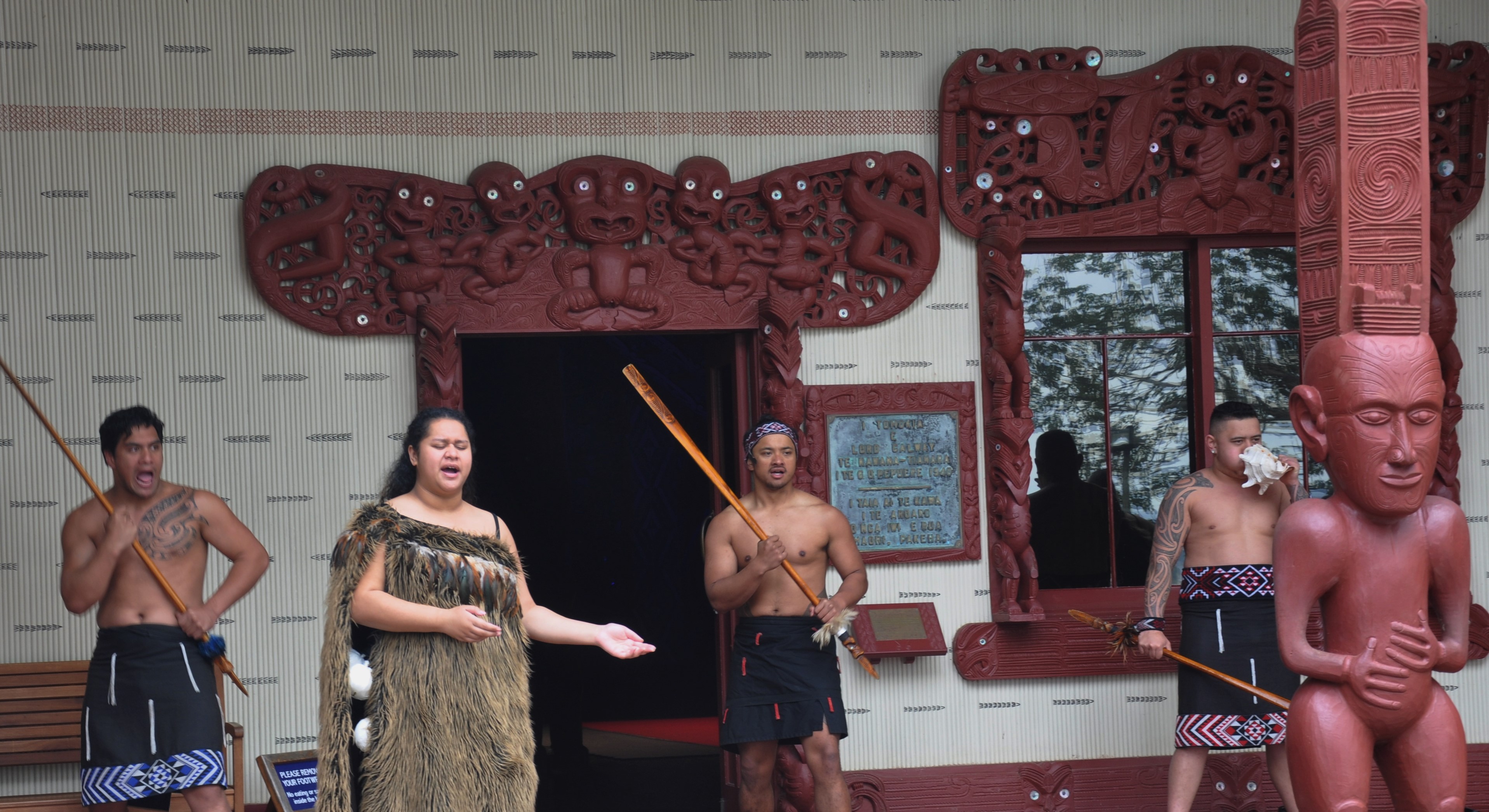
If the chief of the visiting tribe picks up the peace offering the visitors are invited into the meeting house. If he spurns the peace offering then a fight ensues. Our chief, Mark, picked up the peace offering, so we could enter the meeting house after removing our shoes which might carry in bad spirits from the courtyard where battles may have occurred.

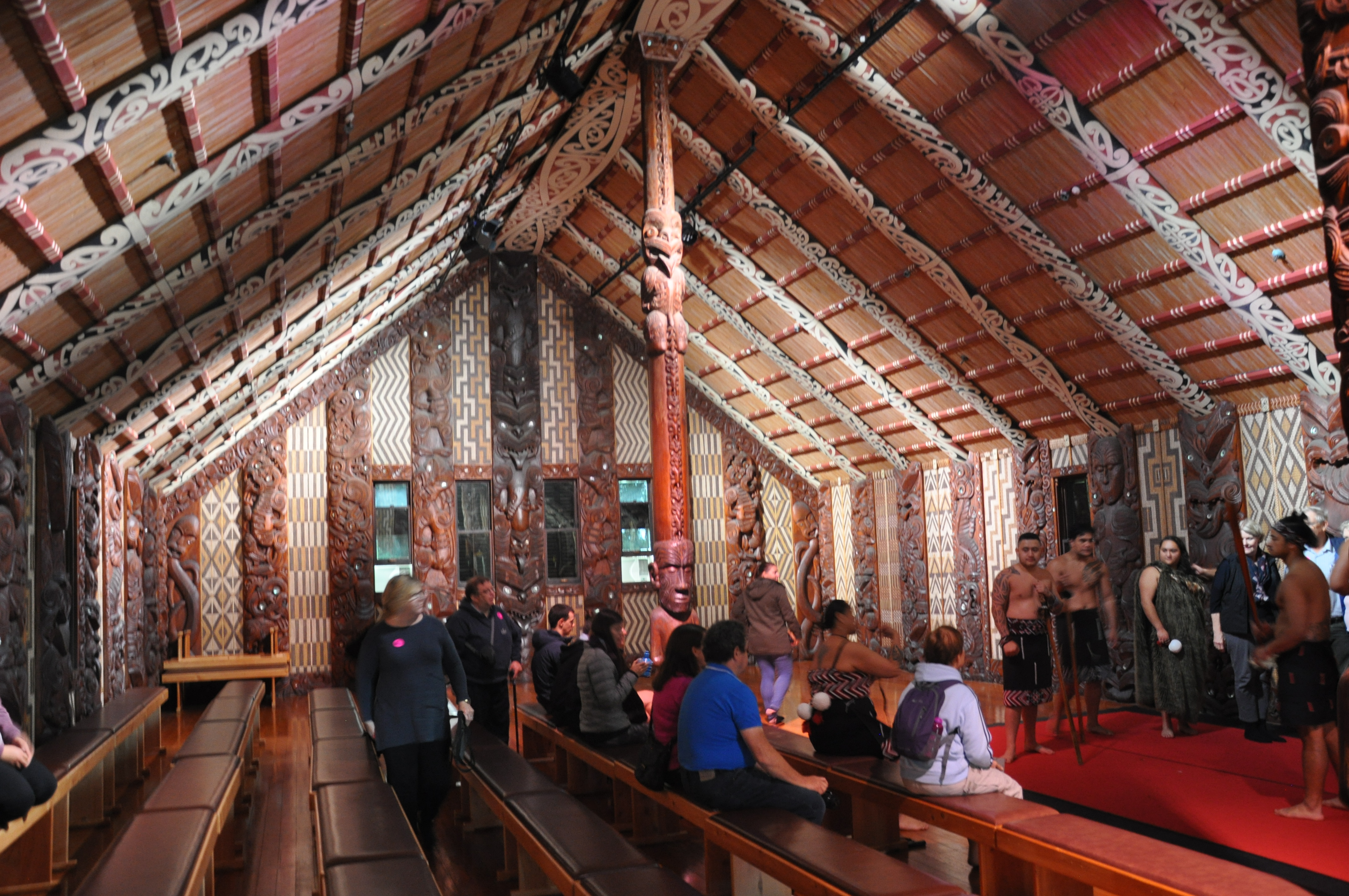
Meeting houses are filled with gorgeous carvings. Since this is a “national” meeting house the carvings represent all of the tribes of Te Araroa New Zealand.
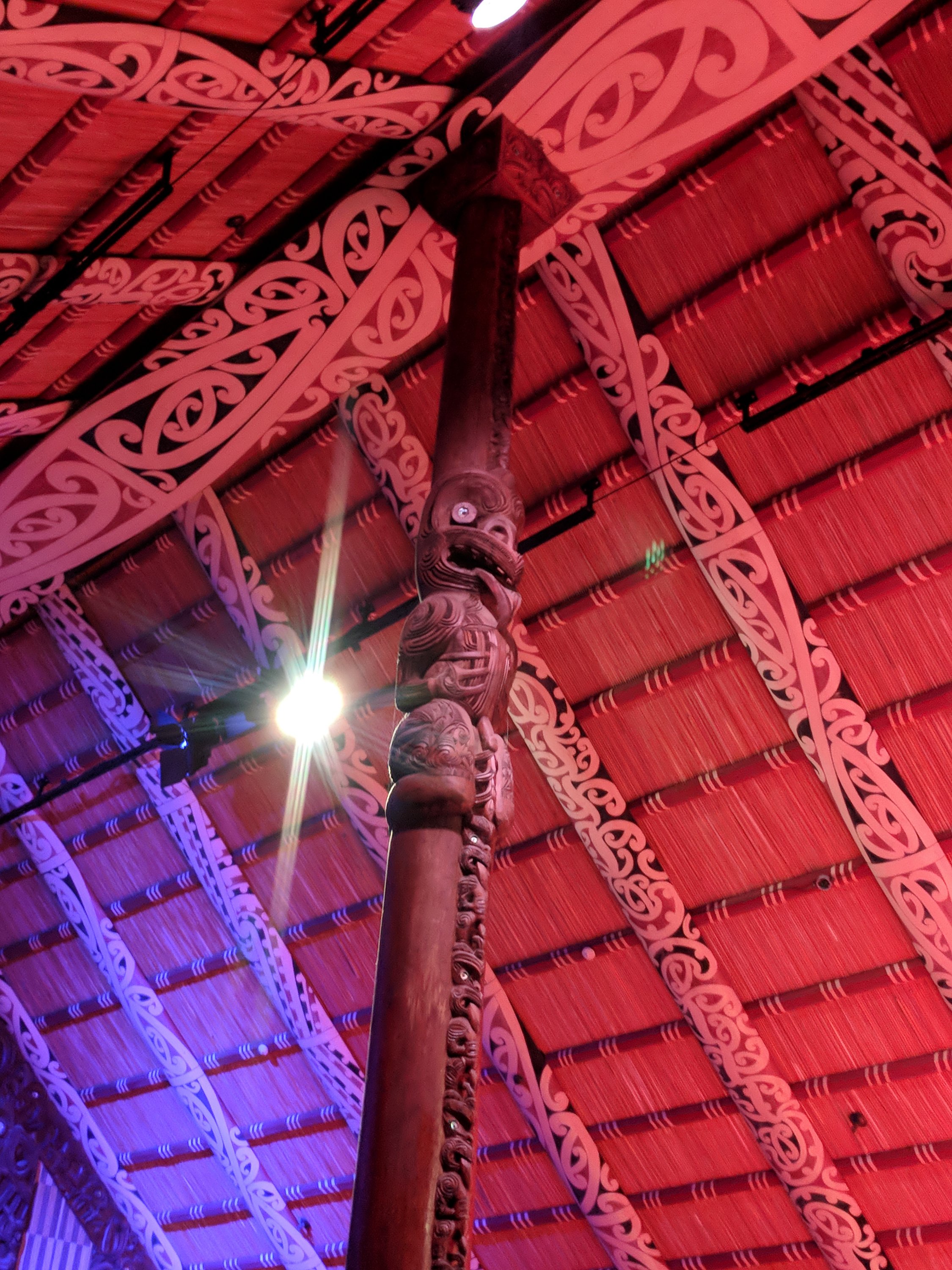
We were entertained with singing, dancing and amazing feats similar to juggling, yoyoing and ax twirling.
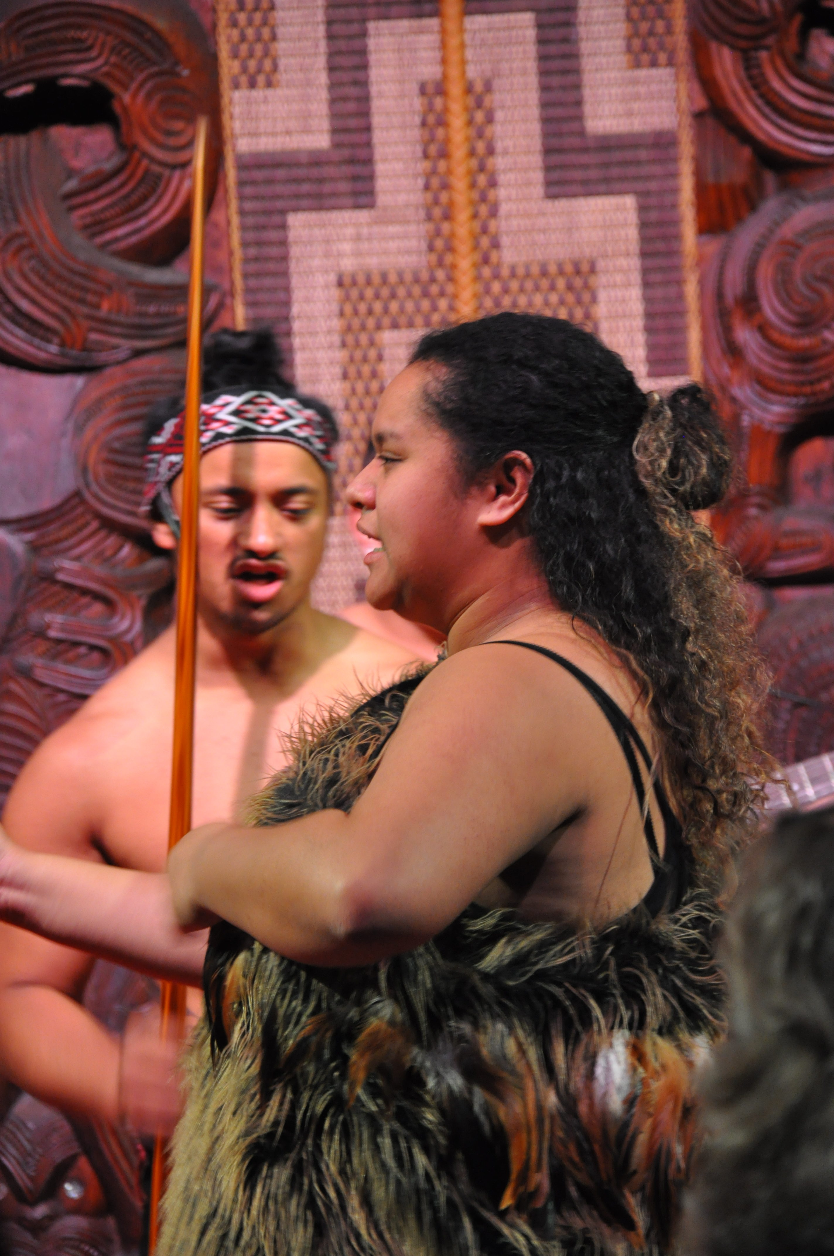
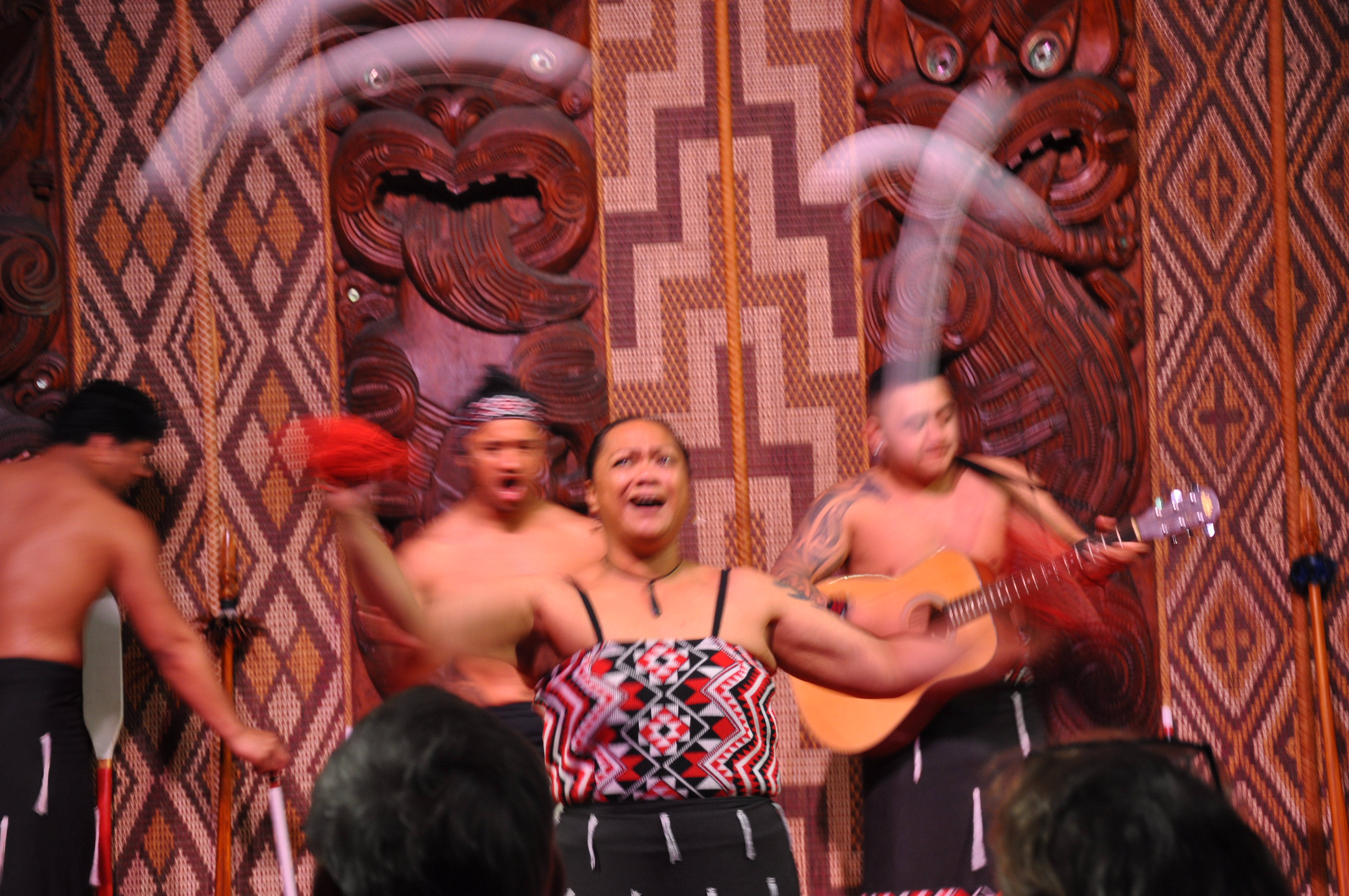
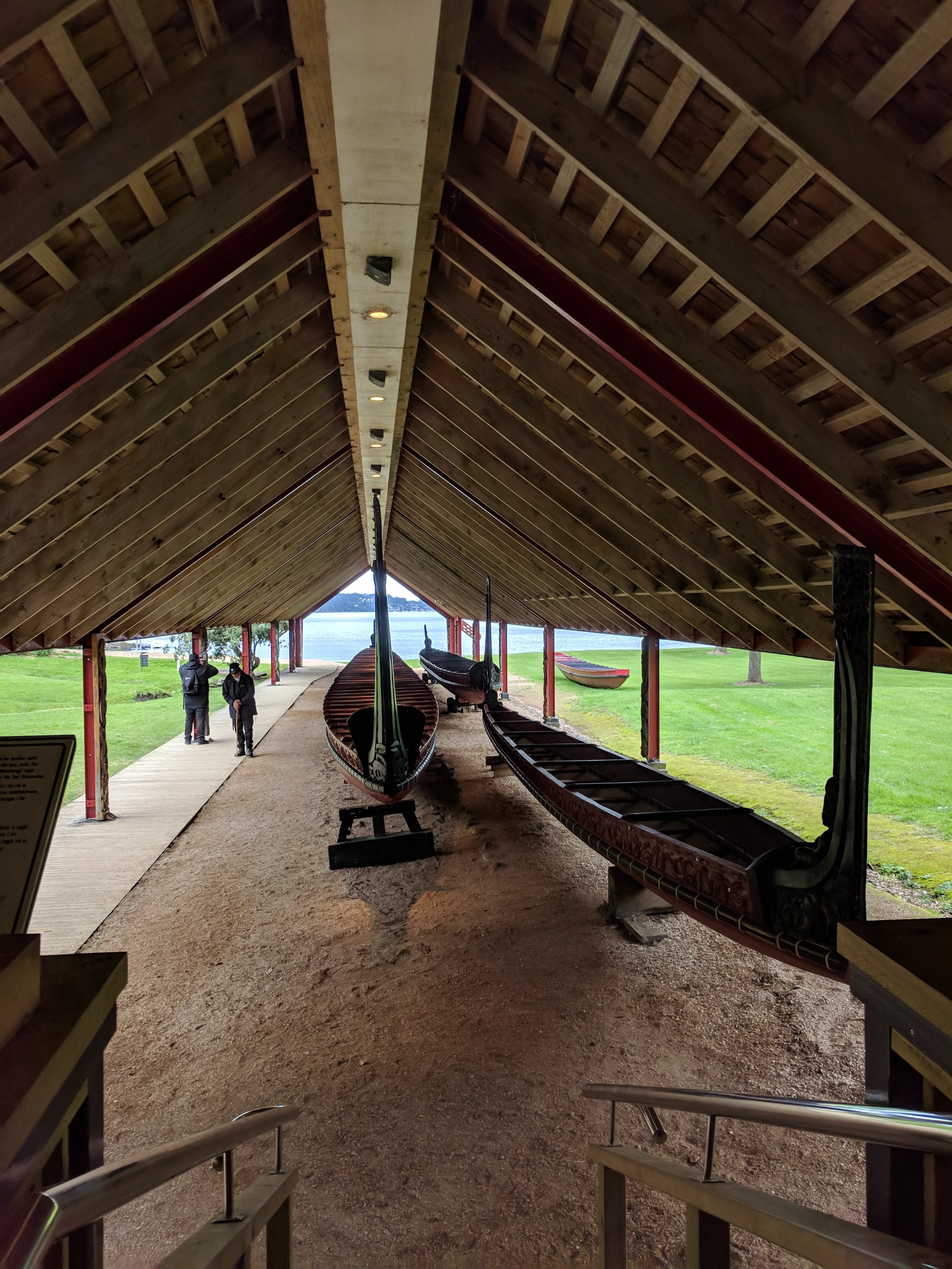
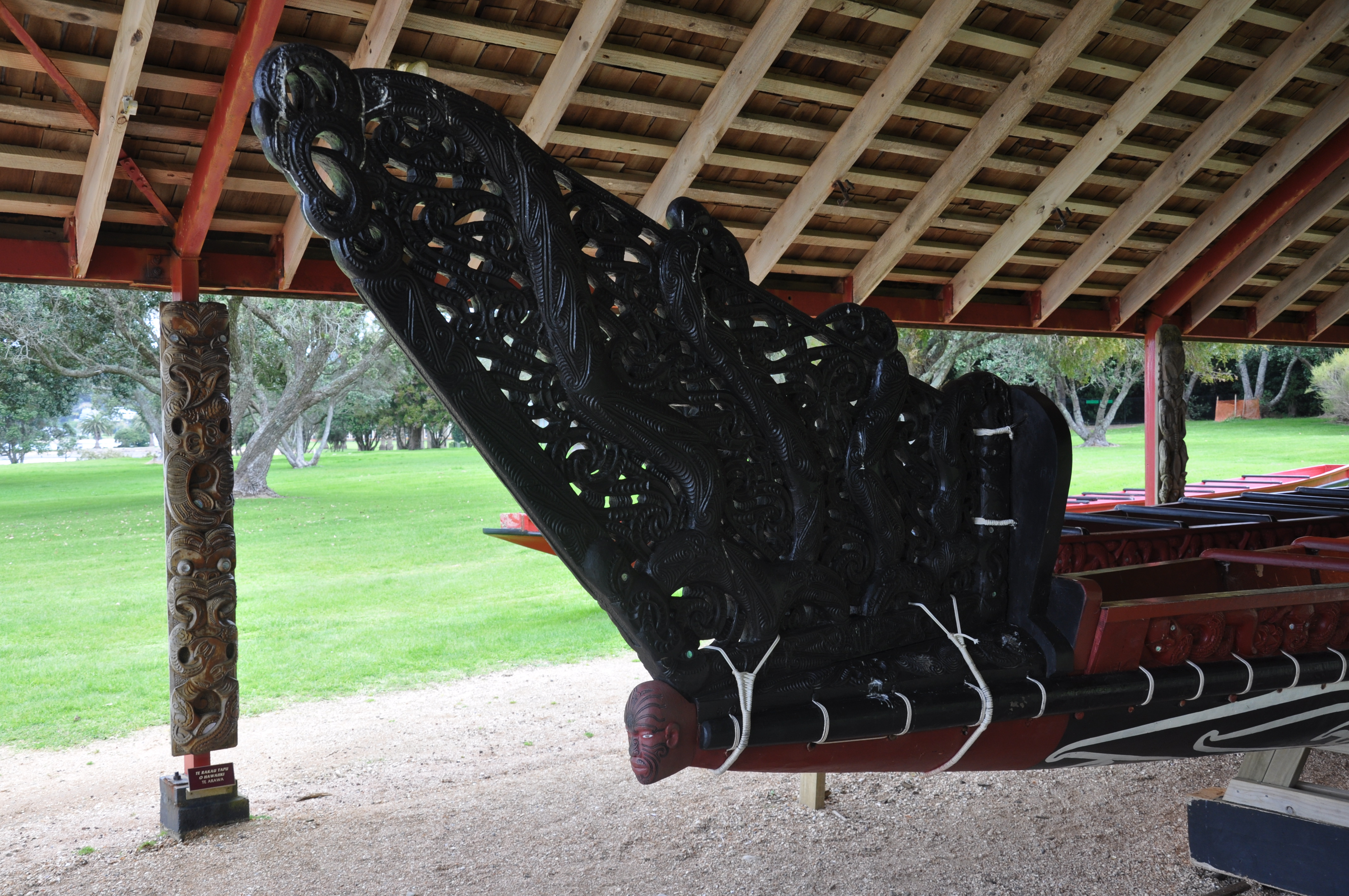
After the presentation we toured the treaty house and walked through the beautiful grounds and then went on a tour that lasted about an hour. The guide went into great detail on the history leading to the treaty, the aftermath (like all white man treaties there was a fair amount of deception and then outright ignoring) and then the current times reckoning. We saw two beautifully carved canoes similar to a smaller one that we saw rowing by when we were on the cycle trail.
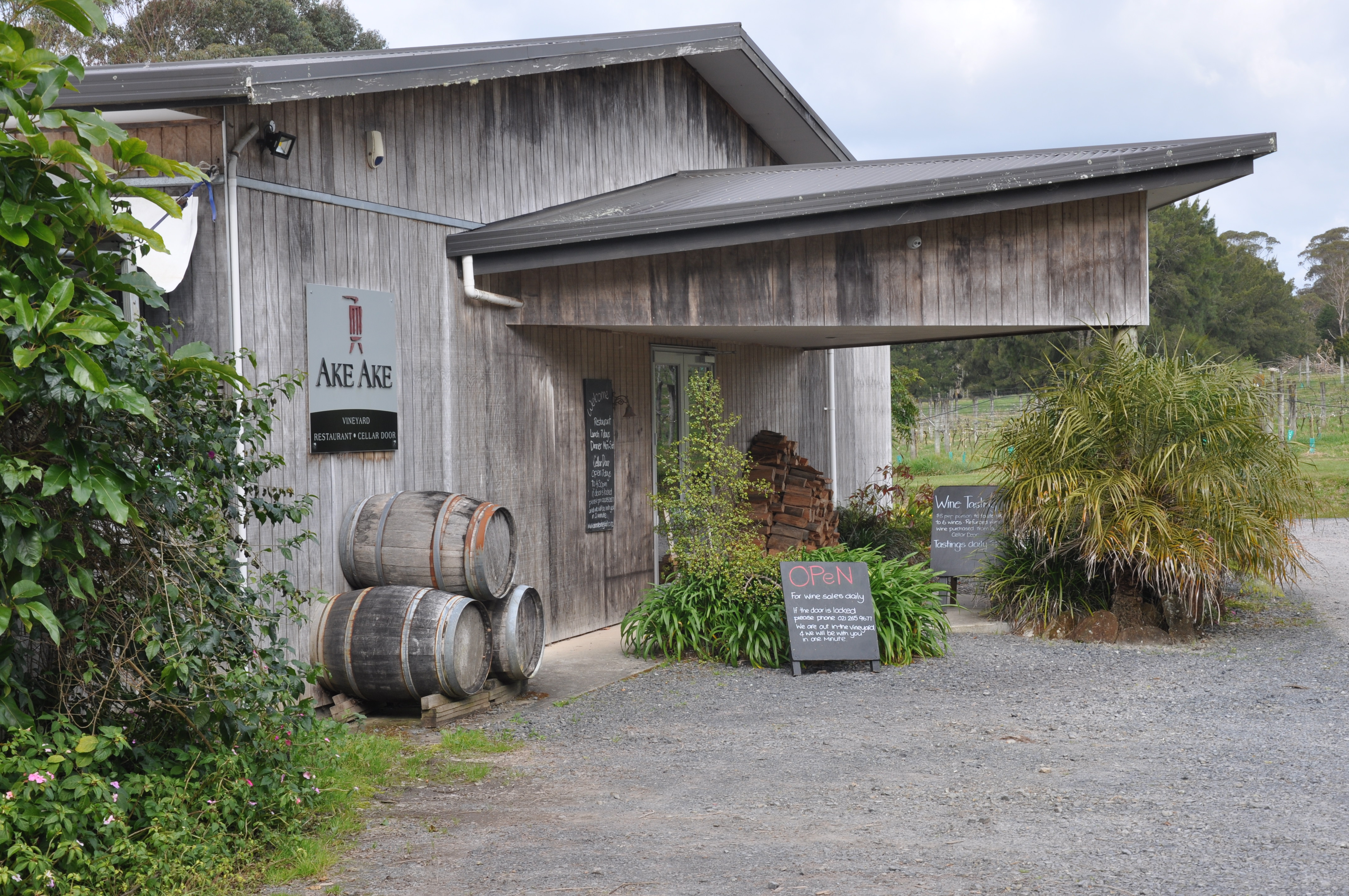
Our next and final stop for the day was the Ake Ake winery for a tasting and purchase. We will be eating dinner in most nights so some good wine comes in rather handy!
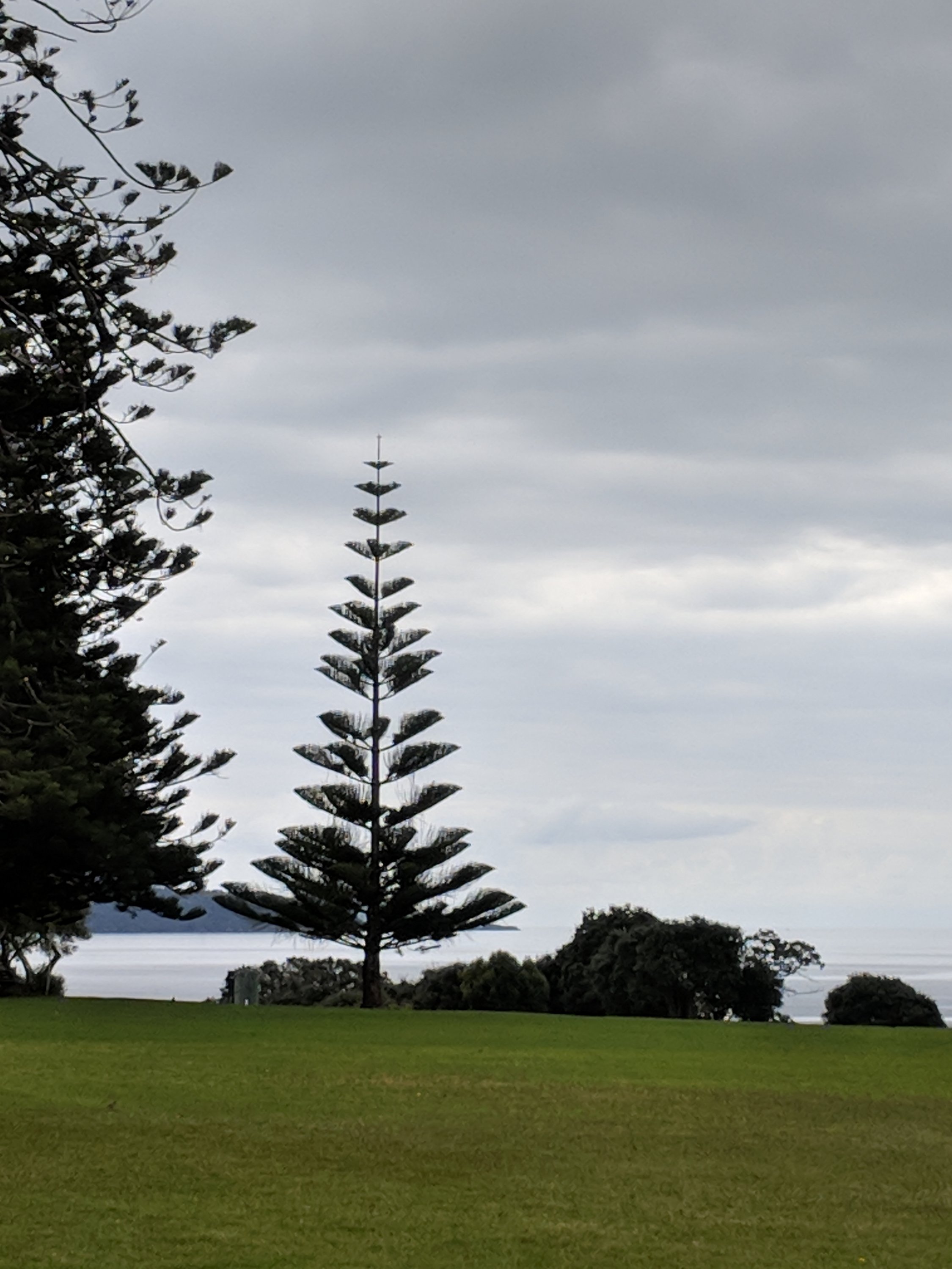
Now, about those fake cell phone trees that you see on the way up to Vermont and elsewhere. I now understand. They were clearly designed by a Kiwi and based on this very real and prevalent tree from NZ
And another super polite sign
