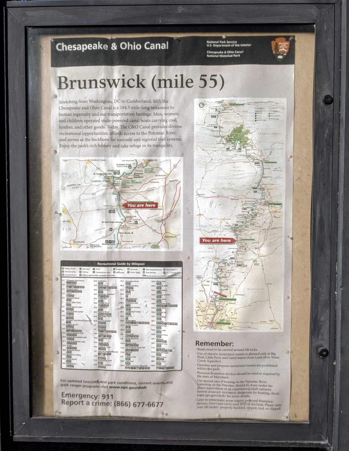
We got to the Brunswick C&O towpath access lot at about 8:30 this morning. The towpath is the dirt and stone path that runs 184.5 miles along the C&O Canal, where visitors can walk, run, or bike the distance between Georgetown and Cumberland, MD. It was originally built for the canal mules to walk beside the canal as they “towed” the canal boats through the waterway.
Our plan was to ride to Shepardstown and back; about 35 miles. We had 4 bottles of water and assumed we could fill up in Sherpardstown. The towpath is nice and shady with the river on one side and the canal on the other. Not sure if there is ever water in the canal but it’s a remarkable shade of green at the moment
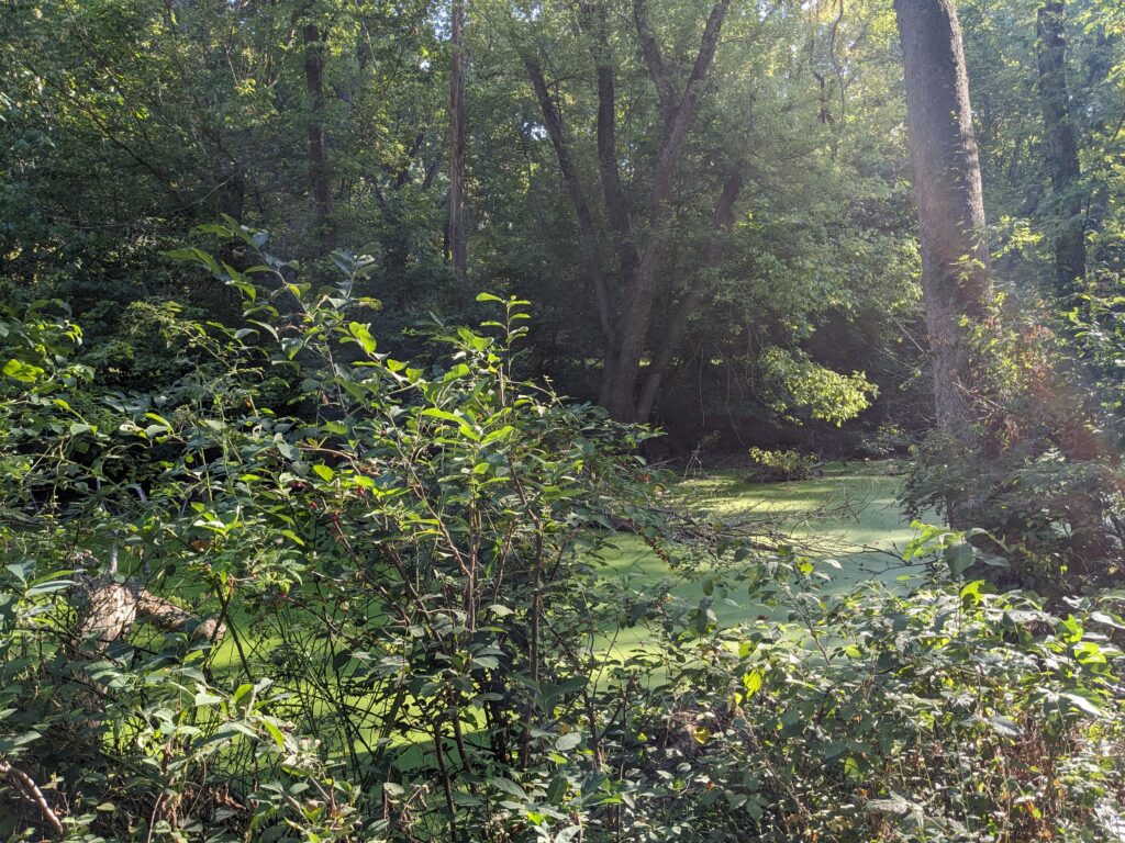
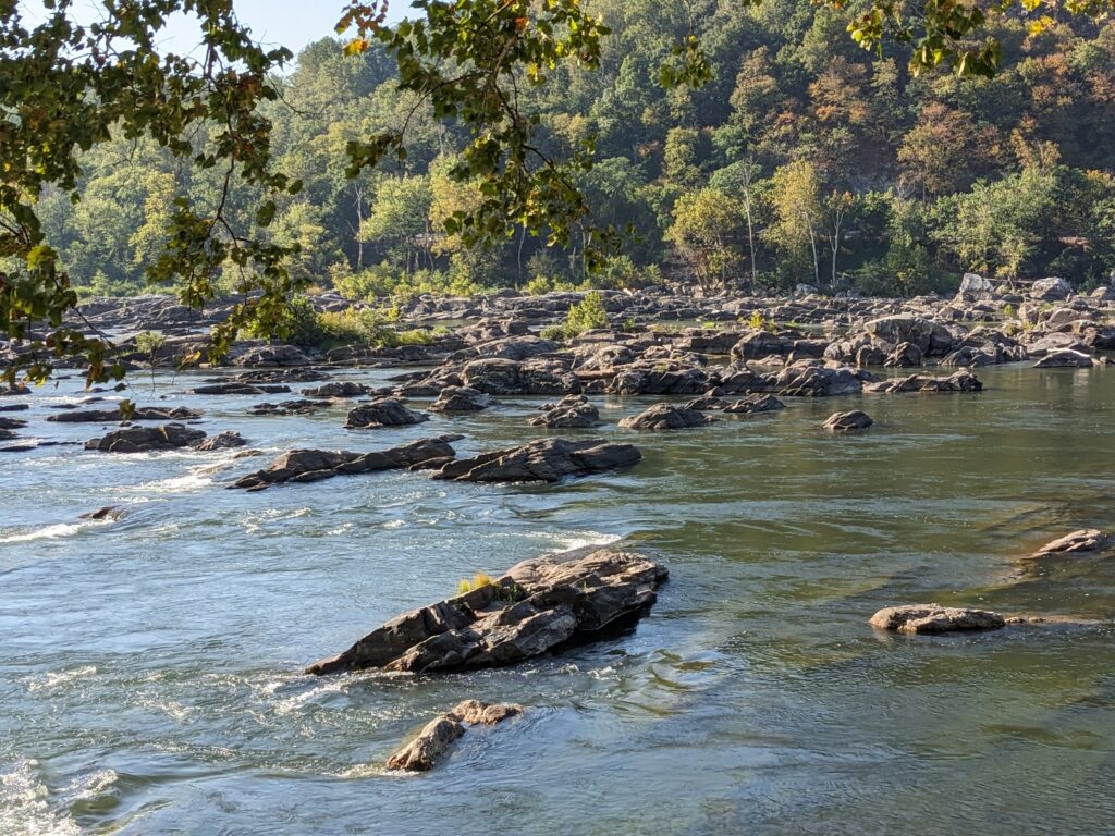
This whole area is really dry right now. Heard from a local today that they haven’t had any significant rain since late spring. Probably contributed to the staggering amount of dust all over us and the bikes by the time we finished up.
So we were having a super good time on the towpath, enjoying the shade and occasional point of interest. Water supplies were dwindling but we had a plan. We got to the Sherpardstown parking lot and I asked a ranger about water and how to get into town. Town was only option for water and he gave us directions to a path that would lead to the road into town. Sounds good, right? Well that path was one heck of a massive climb in the bright sun and we were too sweaty to even stop for a picture! Tom had some info about a visitor center so we climbed (again) to reach that on the road. Yup. It was closed. Good thing our ranger friend was there and gifted Tom a single bottle of water.
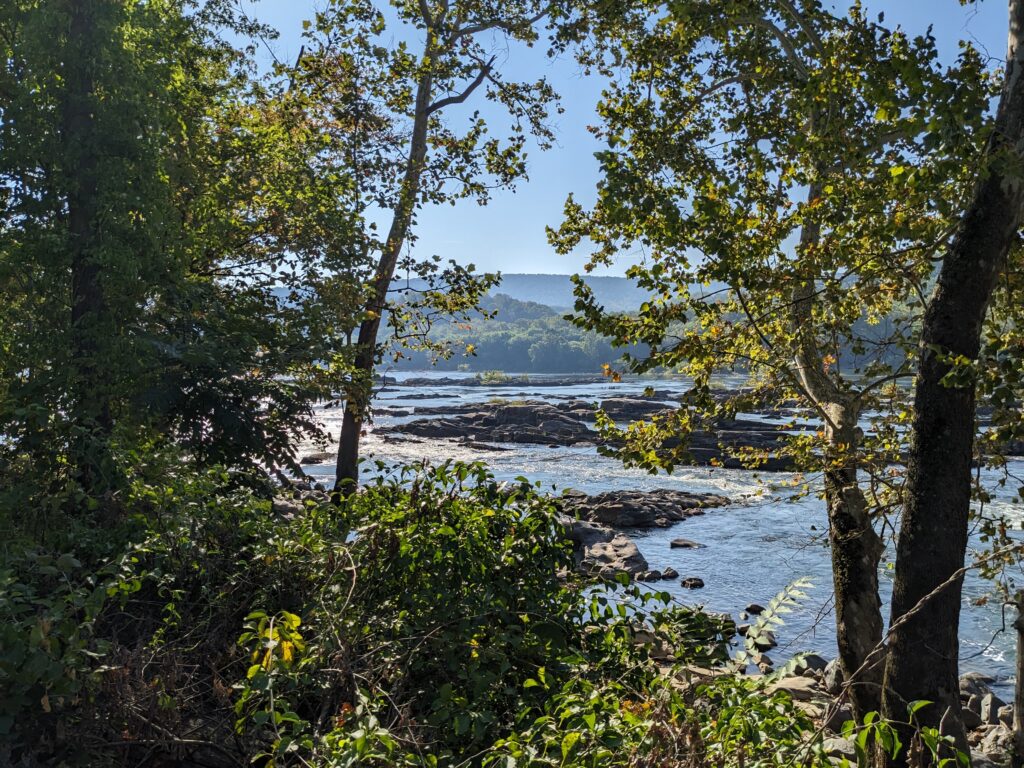
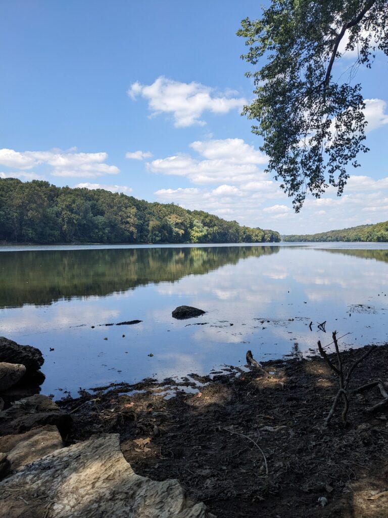
We were too hot to pursue the ride into town so we got back on the towpath to head back to Brunswick. I (Jeannie) got a nasty case of leg cramps about 4 miles in. We decided that best option was for me to camp out at a spot with a boat launch across from a parking lot and Tom would just head back to Brunswick and get the car. I got the good end of that deal with this view
We had biked about 25 miles at that point, and there were another 12 to go back to Brunswick where the car was. We both had a little less than 1 bottle of water with electrolytes, but we had emergency water bottles that we filled up at one of the campsites along the trail. I should have taken a picture of the pump and the sign which basically said, “We tested the water and it should be fine; but if you’re actually going to drink it you should either filter it, chemically treat it or boil it.” So, like I said, “emergency water bottle”.
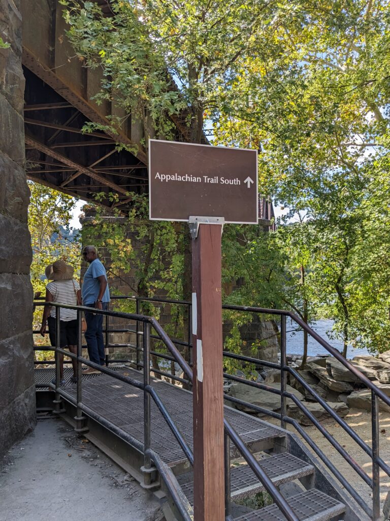
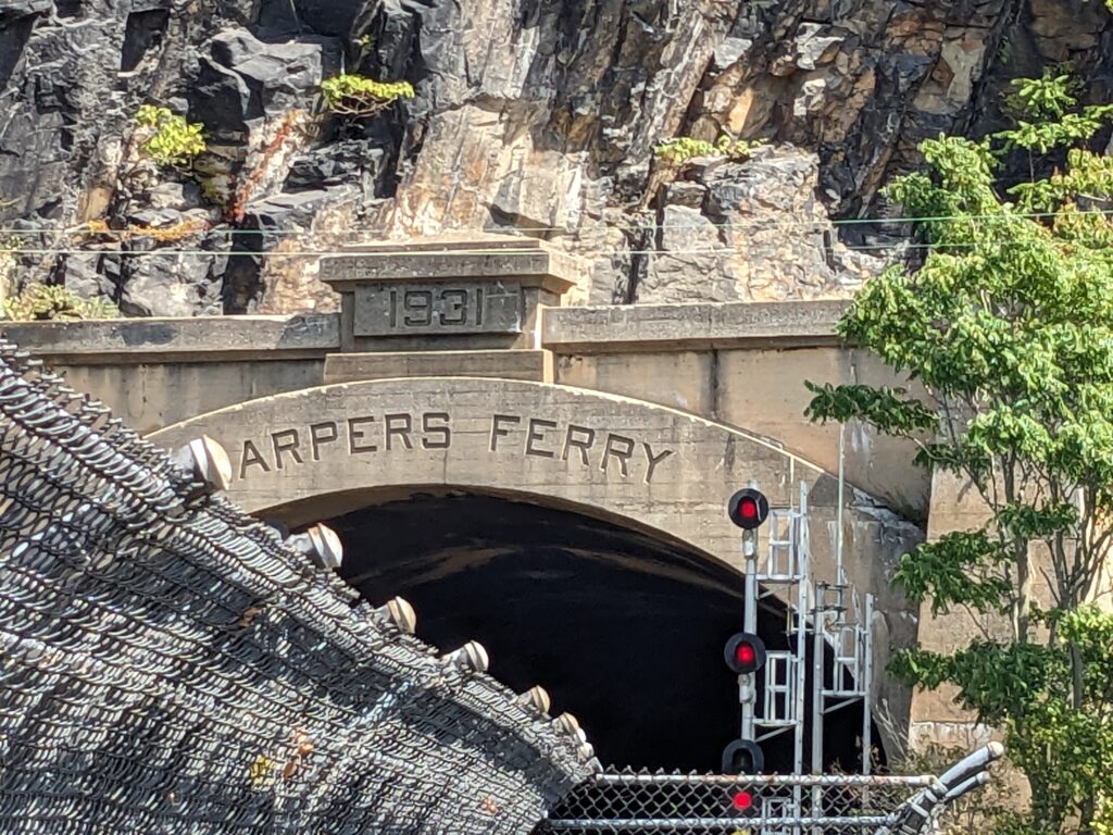
The 12 miles back were really pleasant – lots of shade to keep the temperature down – and I stopped in a few places, including the stairs up to the Appalachian Trail which crosses the Potomac to Harpers Ferry on a bridge shared with the railroad. So, another several hundred feet of the Appalachian Trail completed. Just a few thousand miles left to finish.
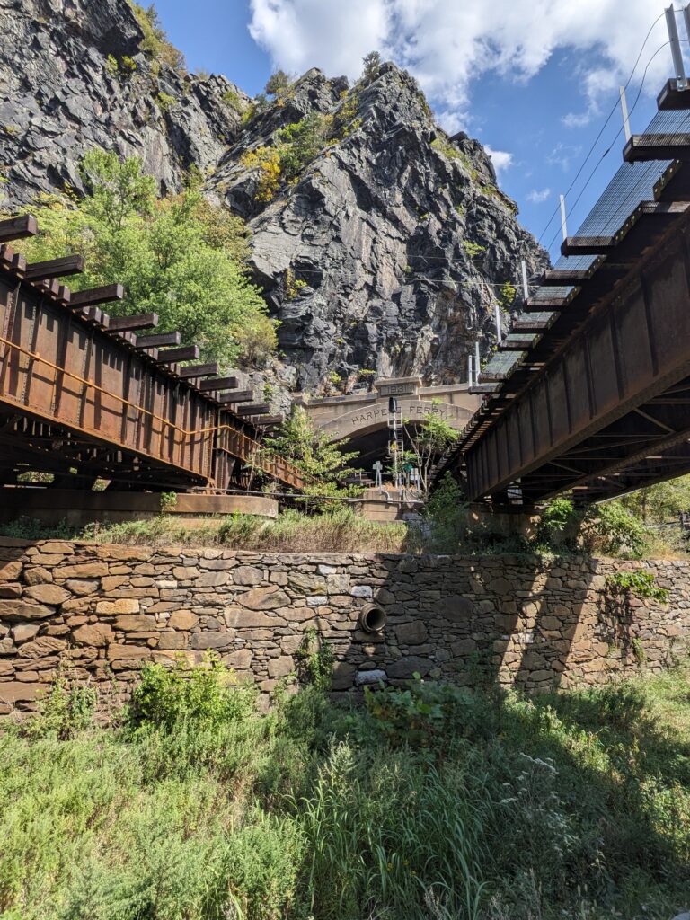
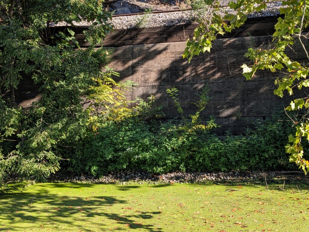
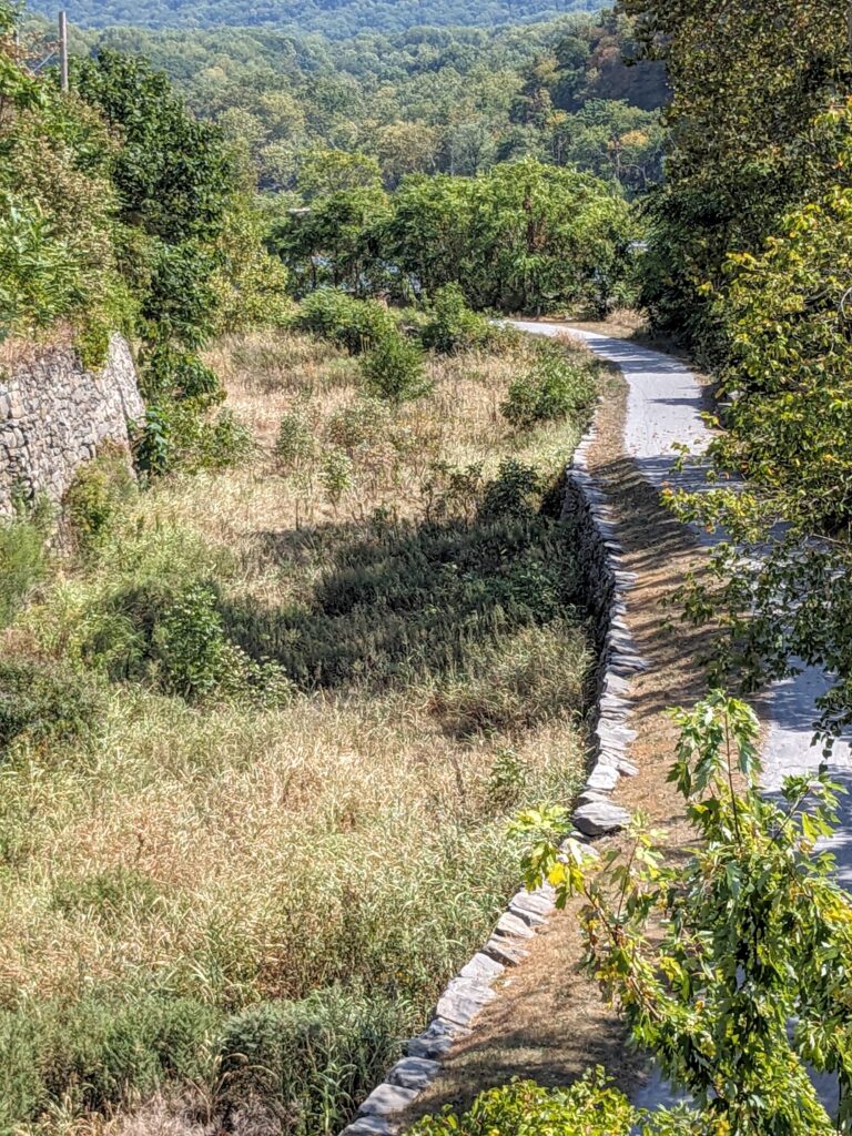
I got back to the car just as my good water bottle ran dry, so no tempting fate with the mystery water. I actually used it to rinse some of the dust off the bike. One last photo showing a view over the empty, brush and grass-filled canal and a stretch of the tow path on the right and an abutment on the left which is holding up the rail line which is still active.
Of course there was one more complication. At first my phone wouldn’t generate a map to get back to the parking lot where Jeannie was waiting saying that my phone was “too hot to use the map function”. After holding it in front of the air vent for a few minutes I got a route which was more than 18 miles long and said it would take almost a half hour. We had seen some road work at one point near the tow path. It turns out that that is the short way along the river, but it is completely closed (it looked like some of the road had been washed out). So, the detour (which was well marked) added about 20 minutes to the trip in both directions.
But, all’s well that ends well. After showering off a thick layer of dust and having a later-than-usual second cup of coffee we are back to blogging and looking forward to dinner.
