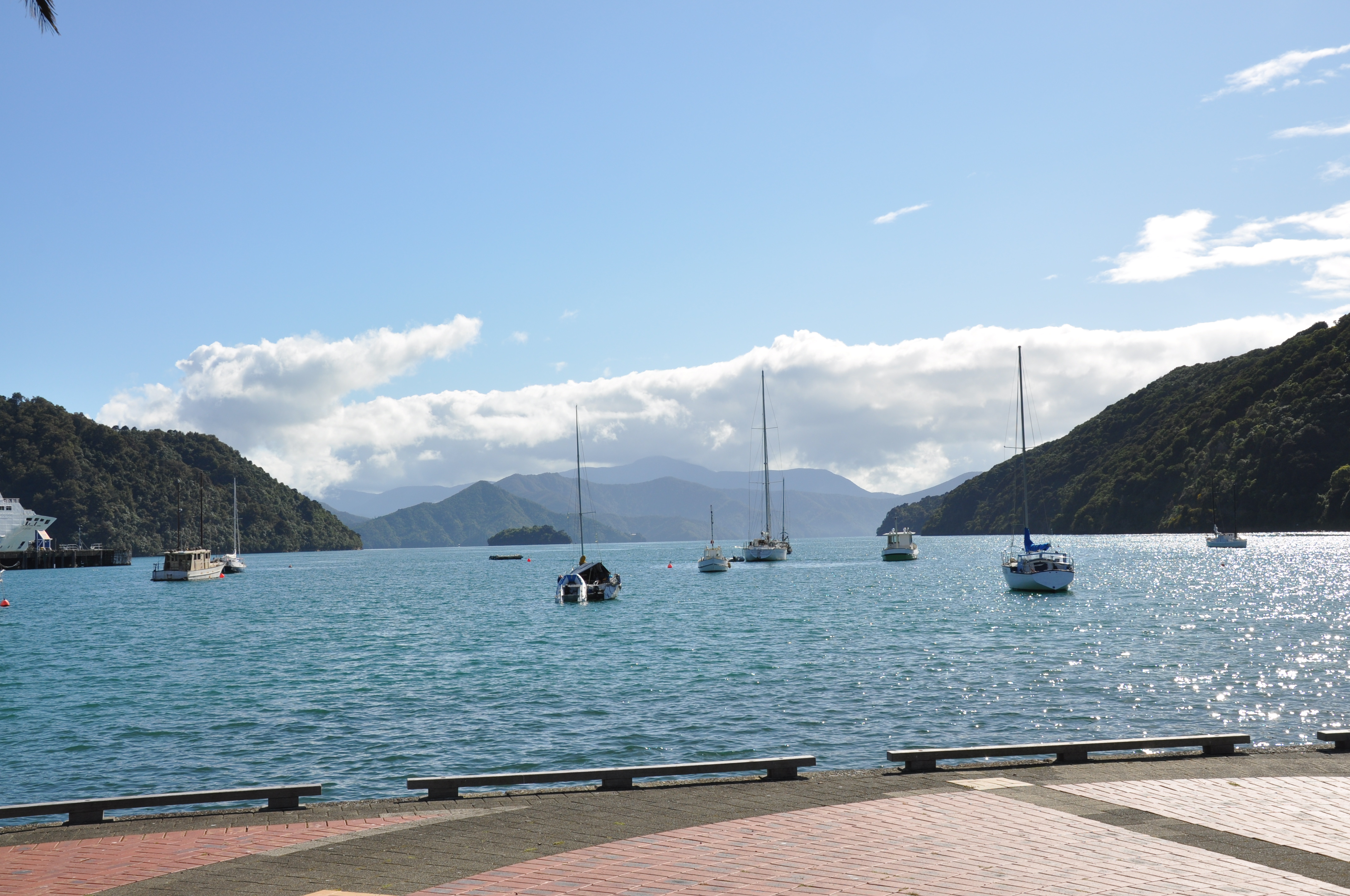
The ferry lands in Picton and we rolled right off and into a budget but super friendly motel a couple of blocks away. Picton turned out to be a delightful little town with a very nice waterfront. We had planned to take a steamship out to a nature preserve island in the bay in the morning, but when we walked over to the dock where the ship sailed from we found out from the guy running the local coffee hut that the steamship only runs when the captain isn’t “under the weather” and the locals aren’t too fond of it anyway since it is coal-fired and when the wind is blowing on shore they all get smoked out. So we walked around the town a little and then headed out.
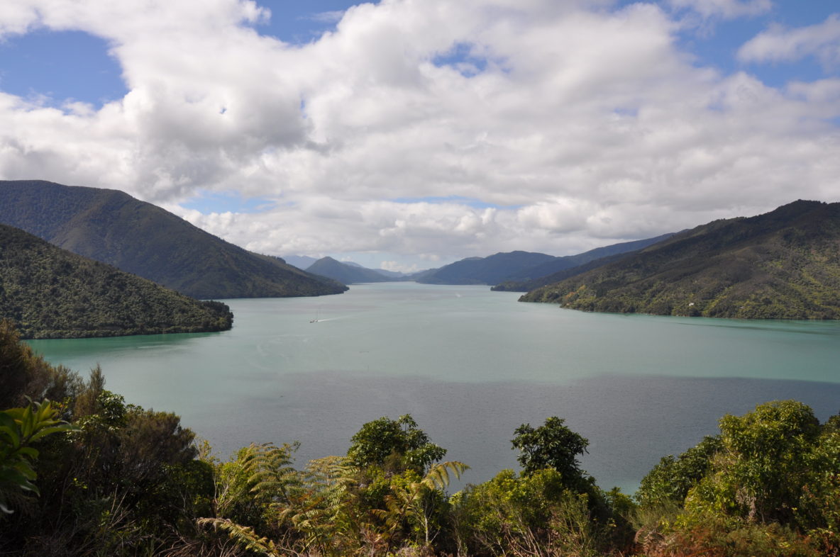
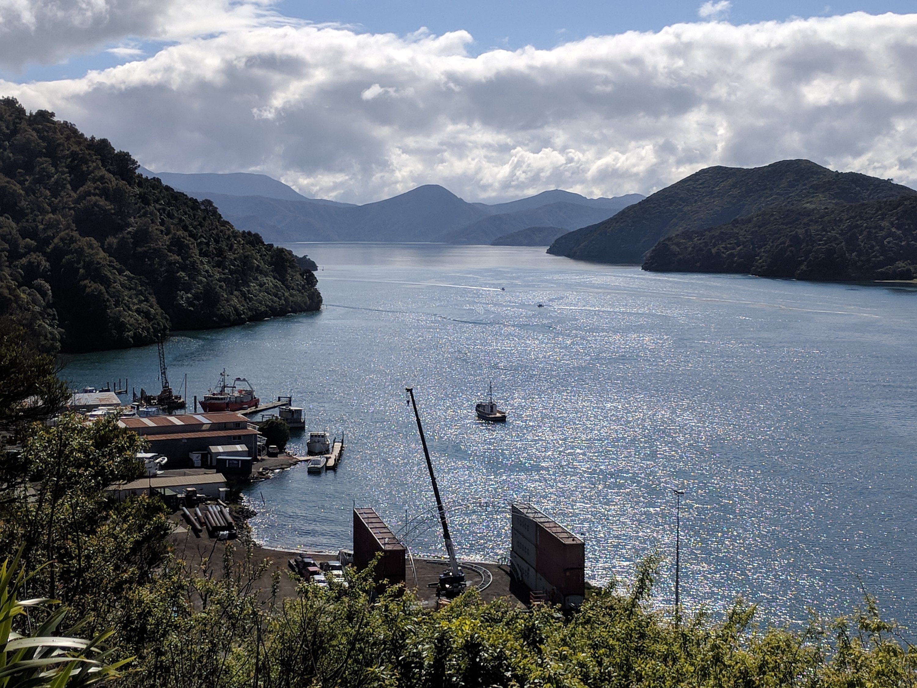
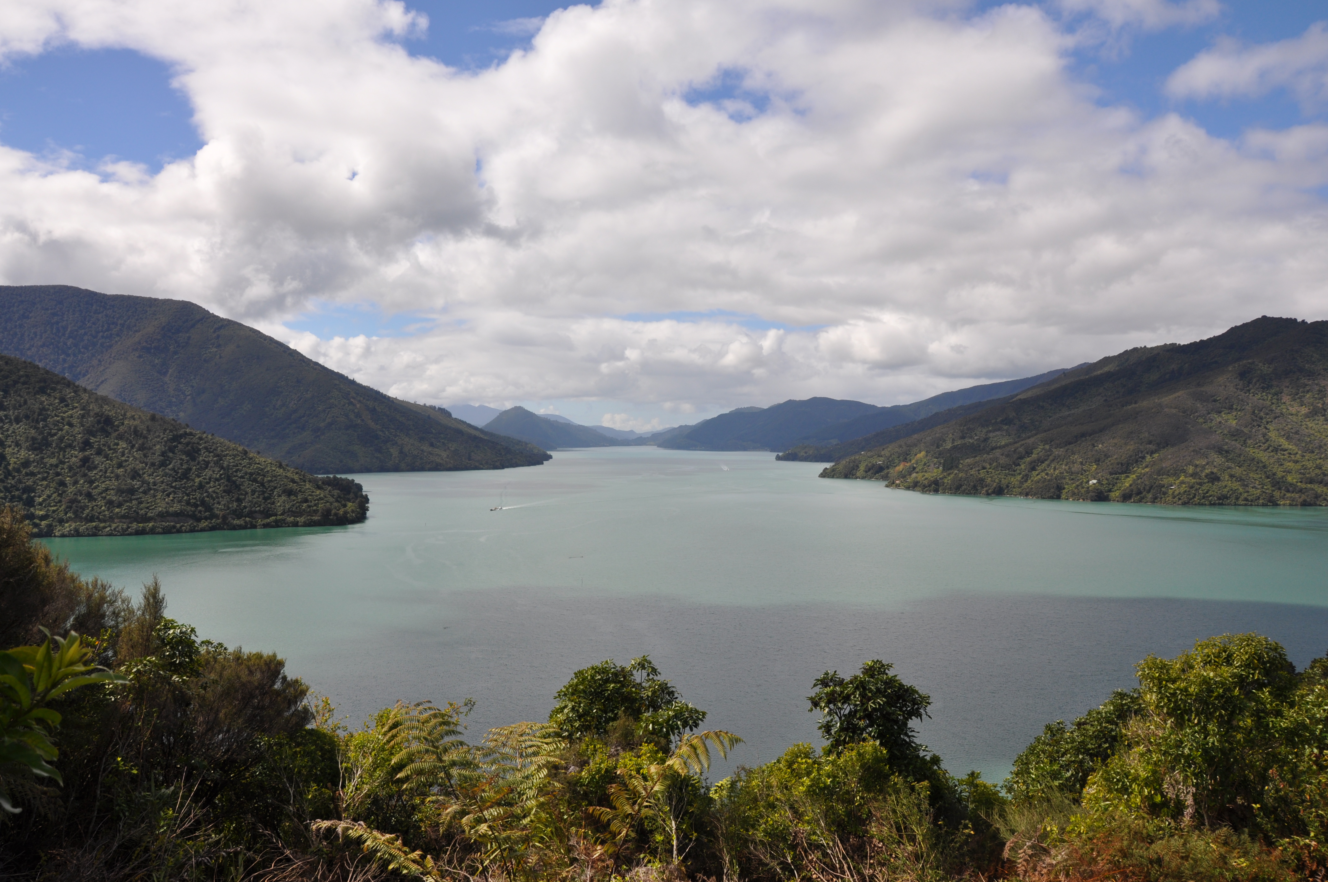
We opted for the scenic Queen Charlotte’s Drive for the first part of our trip to our bach in Upper Moutere. The first scenic overlooks were right outside Picton. Here’s the view of the Picton harbour.
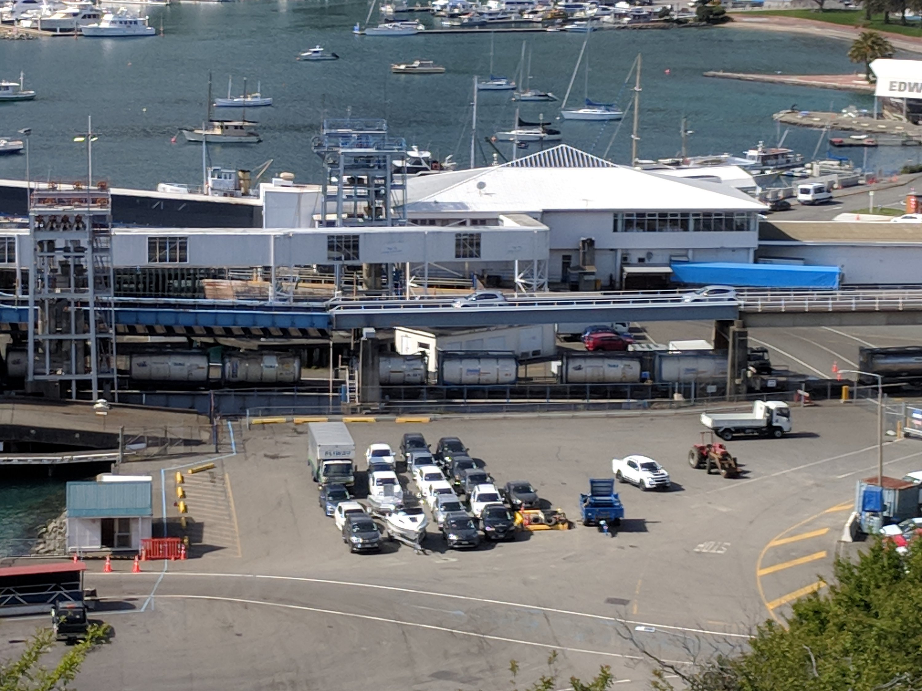
We enjoyed watching a train (!) roll off the Interislander ferry
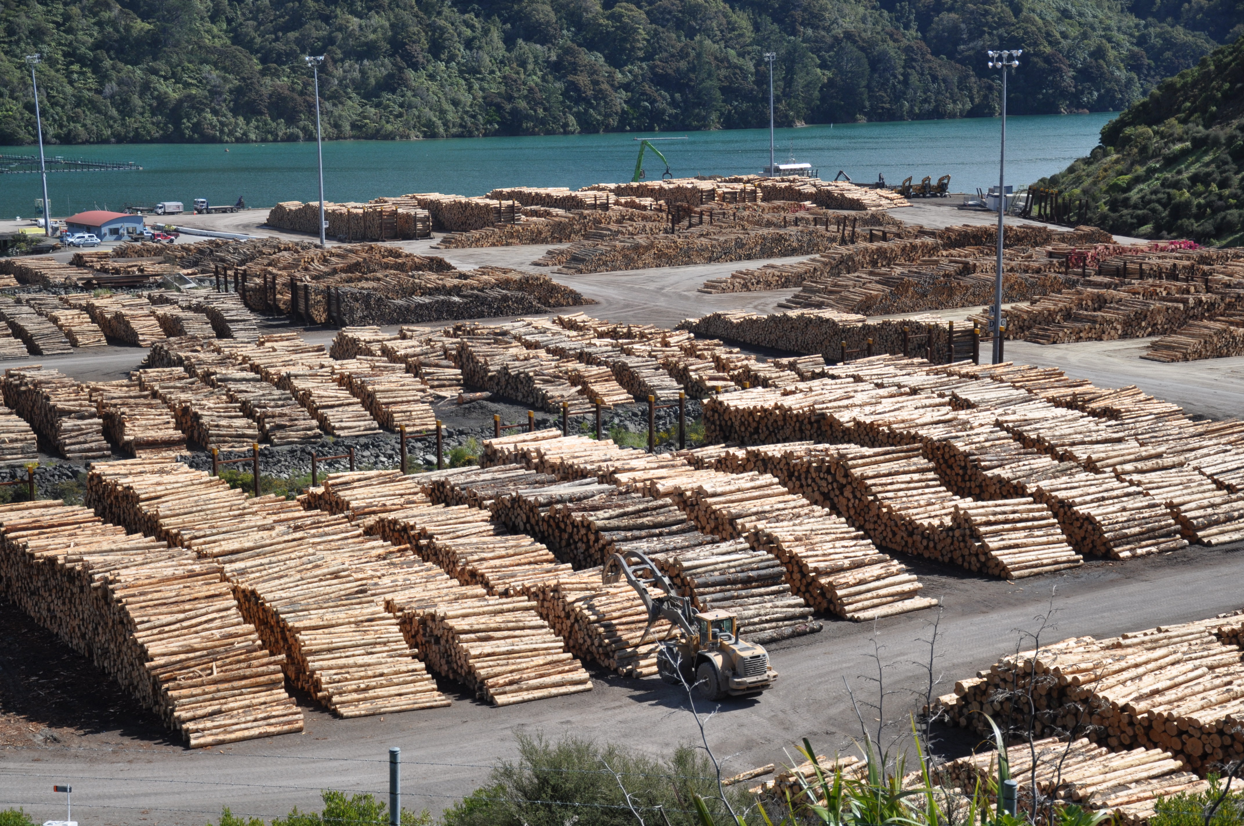
Timbering is a big industry in NZ. Fascinating to watch the trucks pull in with the timber which is then moved into neat little piles at the port.
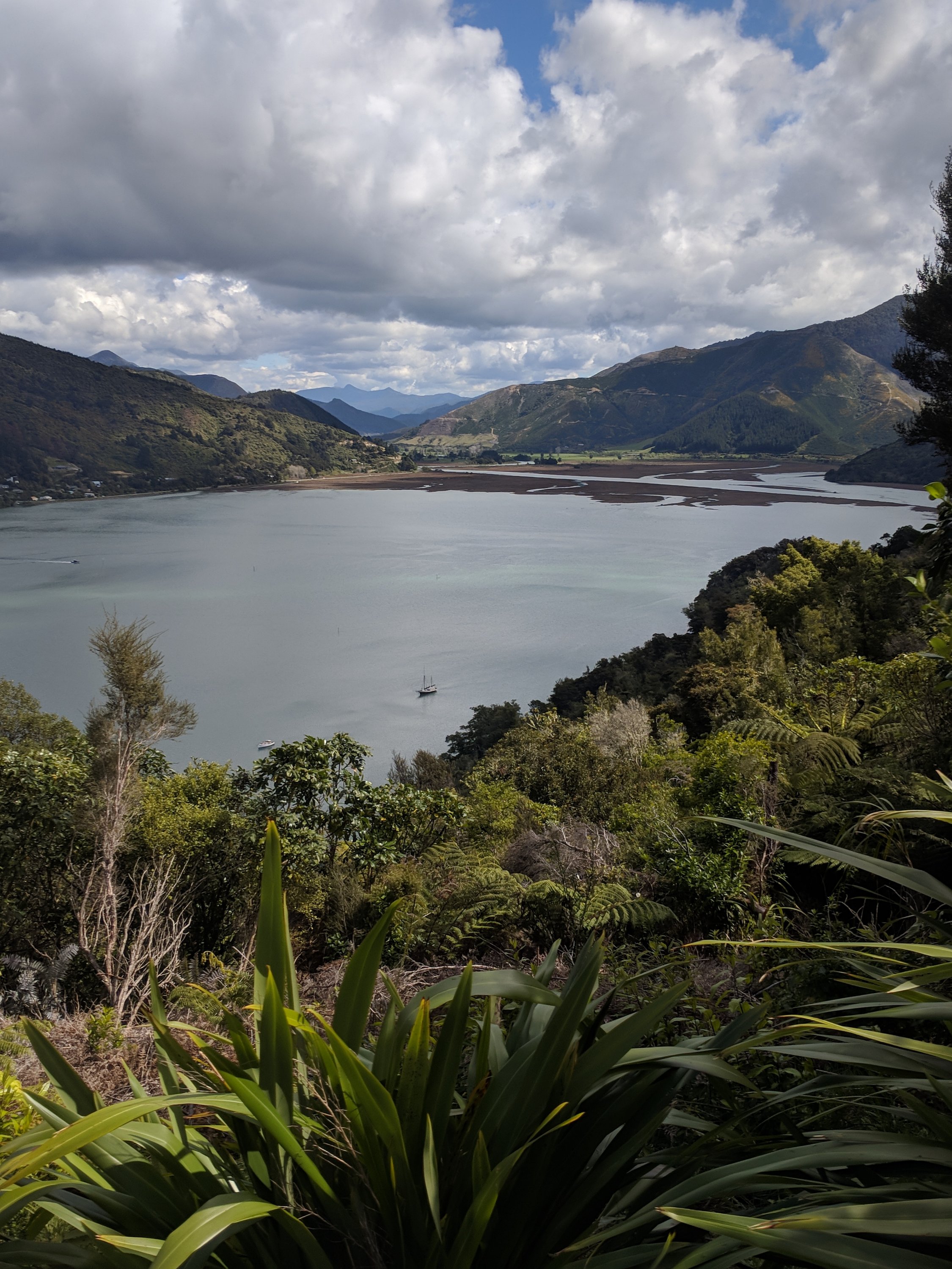
We stopped in a few other overlooks, some official and some not.
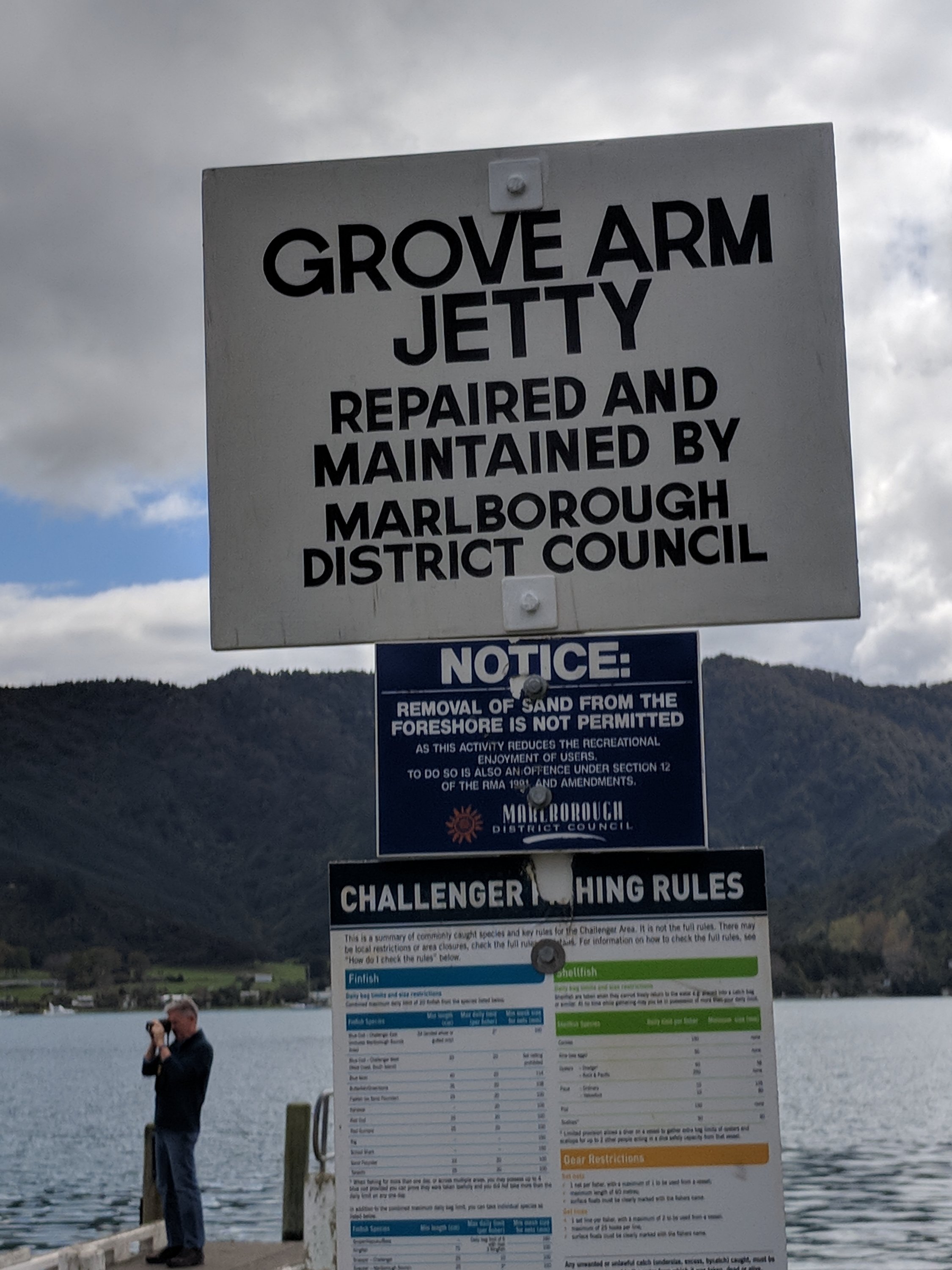
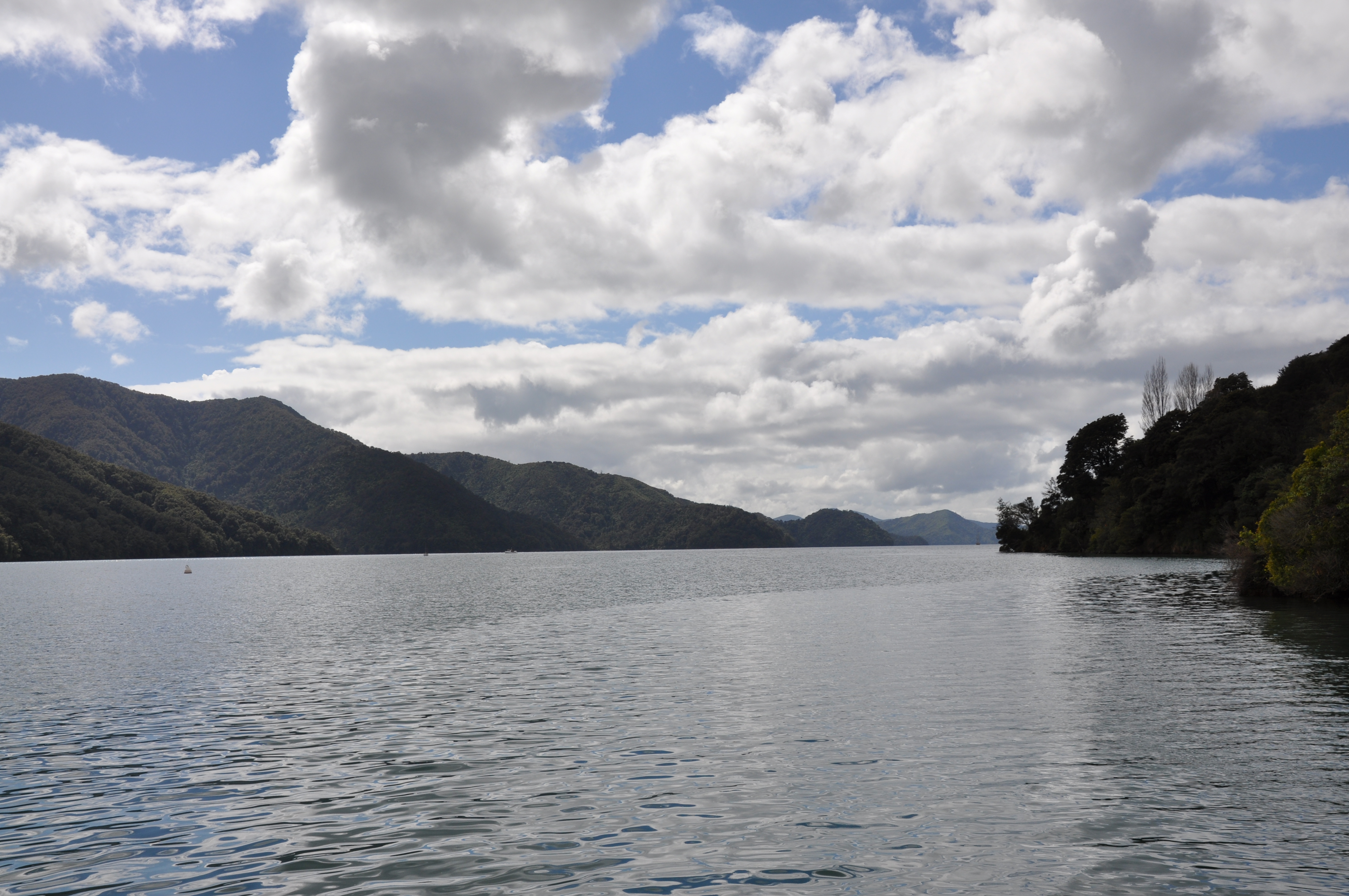
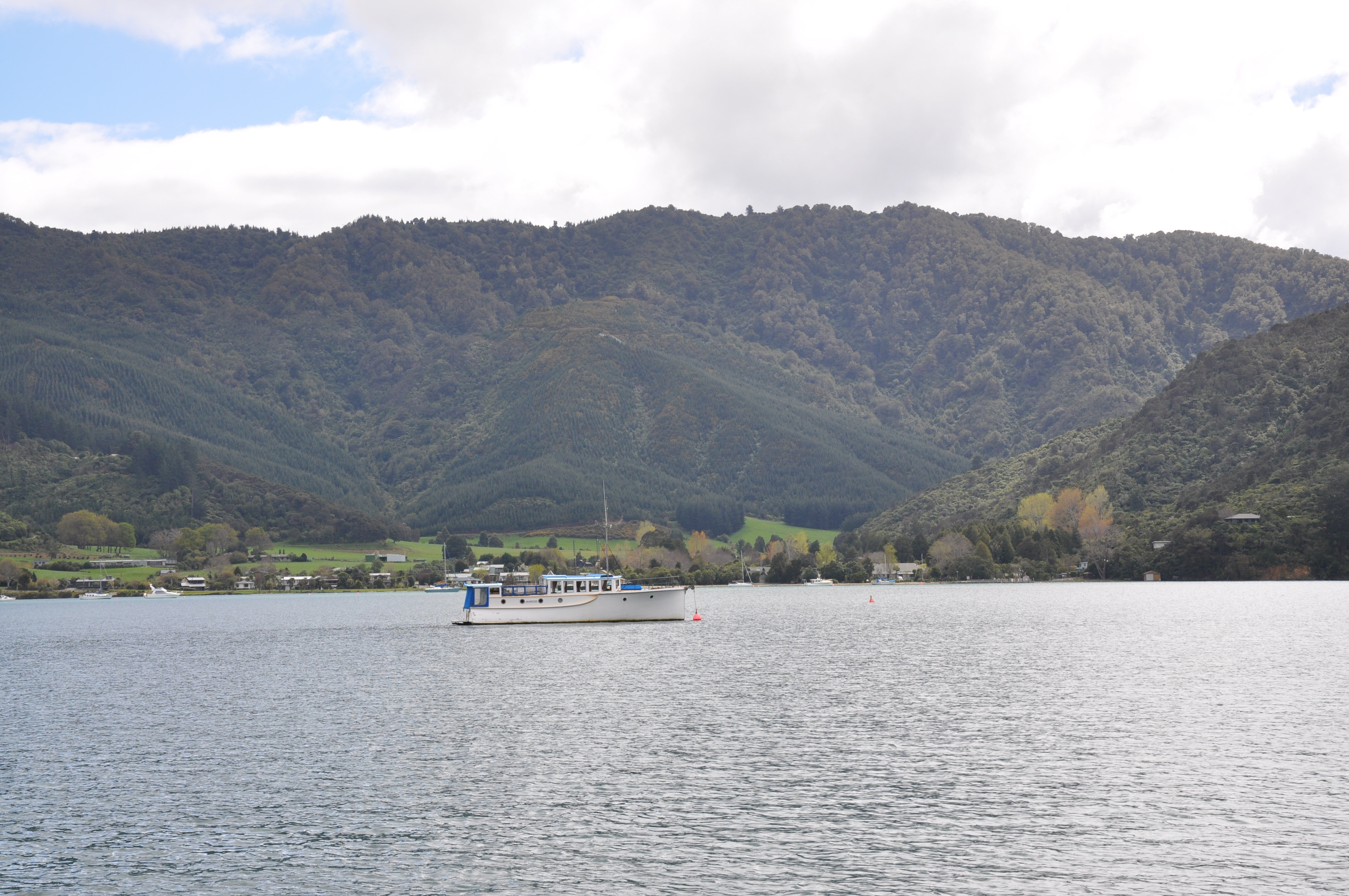
The National Geographic guidebook which we are using recommending driving up Kenepuru Road to get to some beautiful bays. It said that the road was paved until the head and then it turned to gravel, so we thought that we would drive to the head – wherever that might be. Jeannie was driving and got her official, “I have driven the barely wide enough for two cars roads around the side of steep hills” badge. There are no pictures from this drive. The bays were visible in a number of places and quite pretty, but there was literally no place to stop to view them other than one small waterfront with no photogenic vista. We never got to the head, but finally got to a place wide enough to turn around after 19 kilometers.
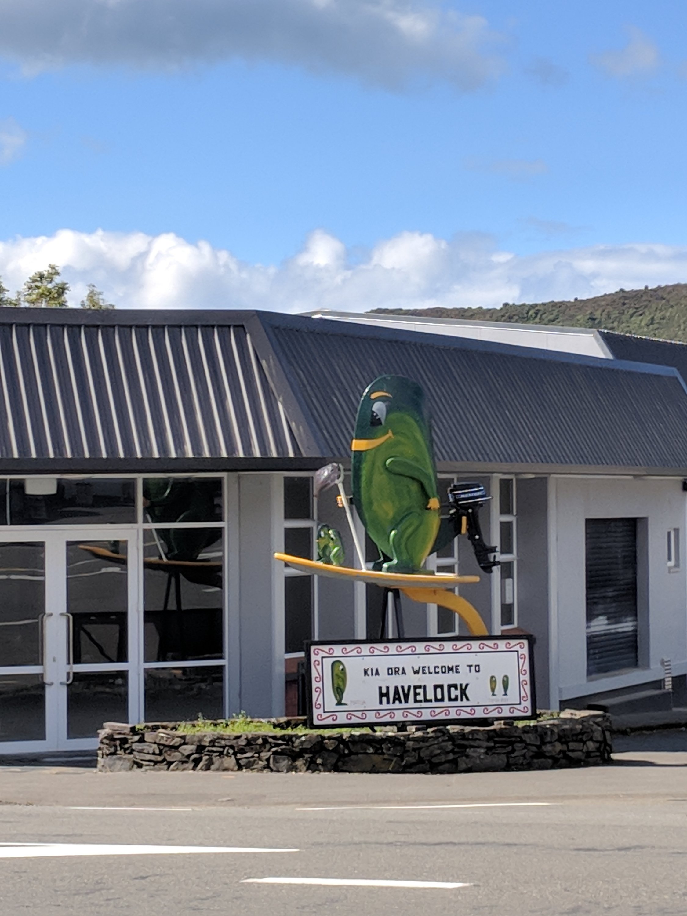
Stopped for lunch in Havelock, The Green Mussel Capital of the world! We’ll be staying very near there in a few days so we did not linger but I do like their mussel mascot!
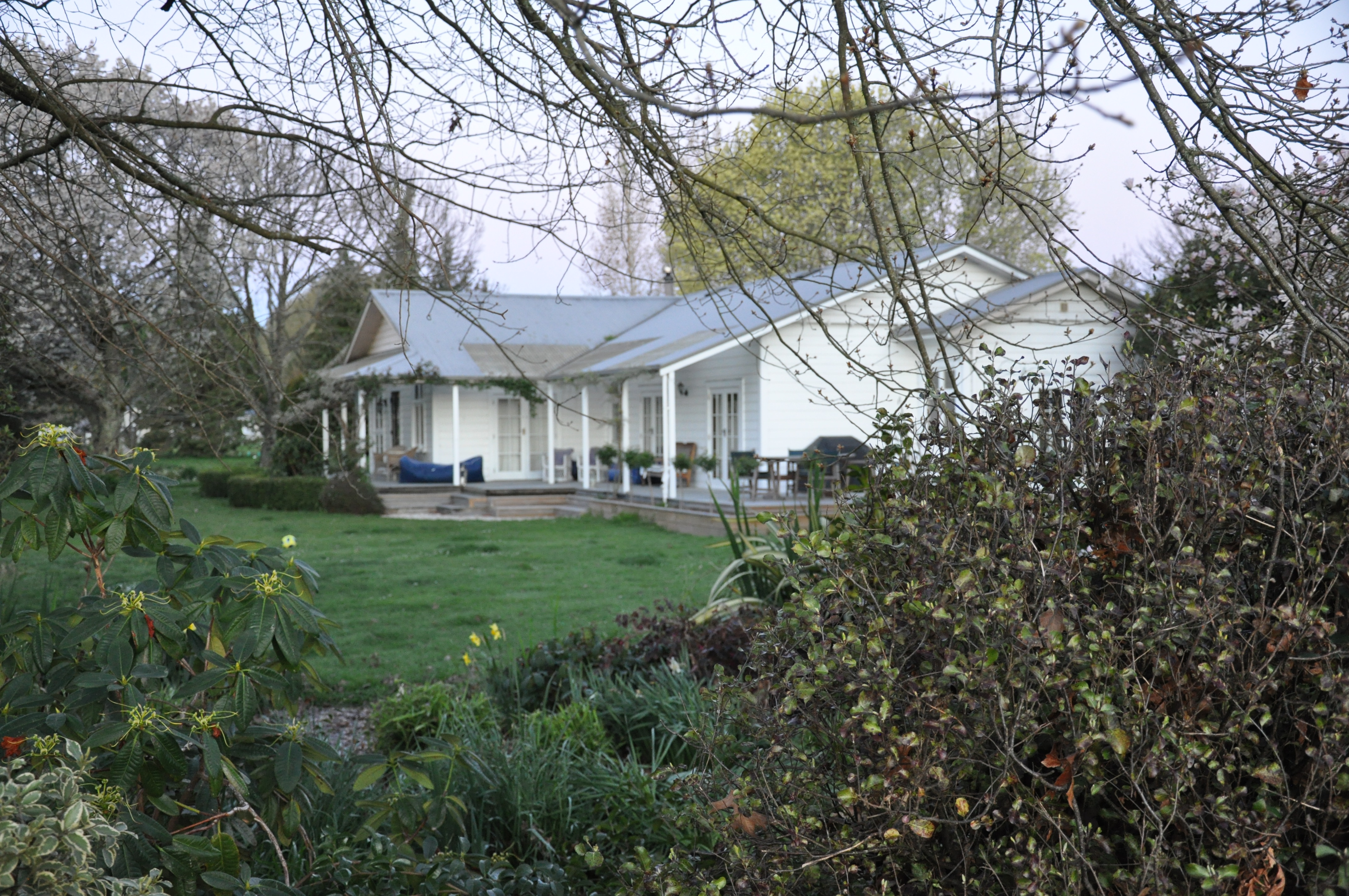
Our bach in Upper Moutere is amazing! It’s about halfway between Nelson and the Abel Tasman National Park and close to the Tasman Great Taste Trail; another NZ cycle network.
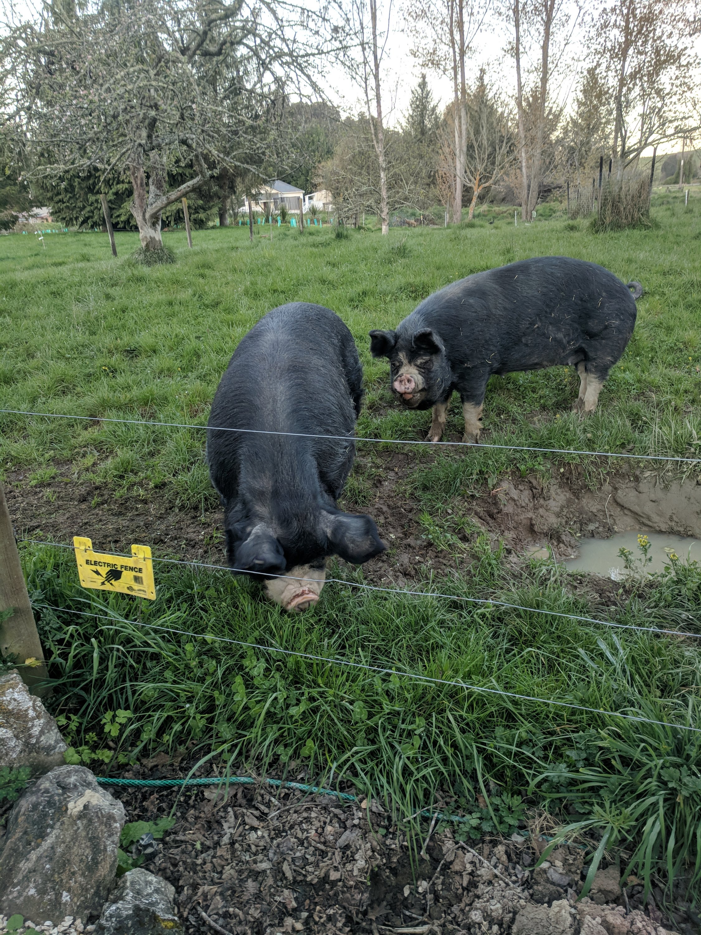
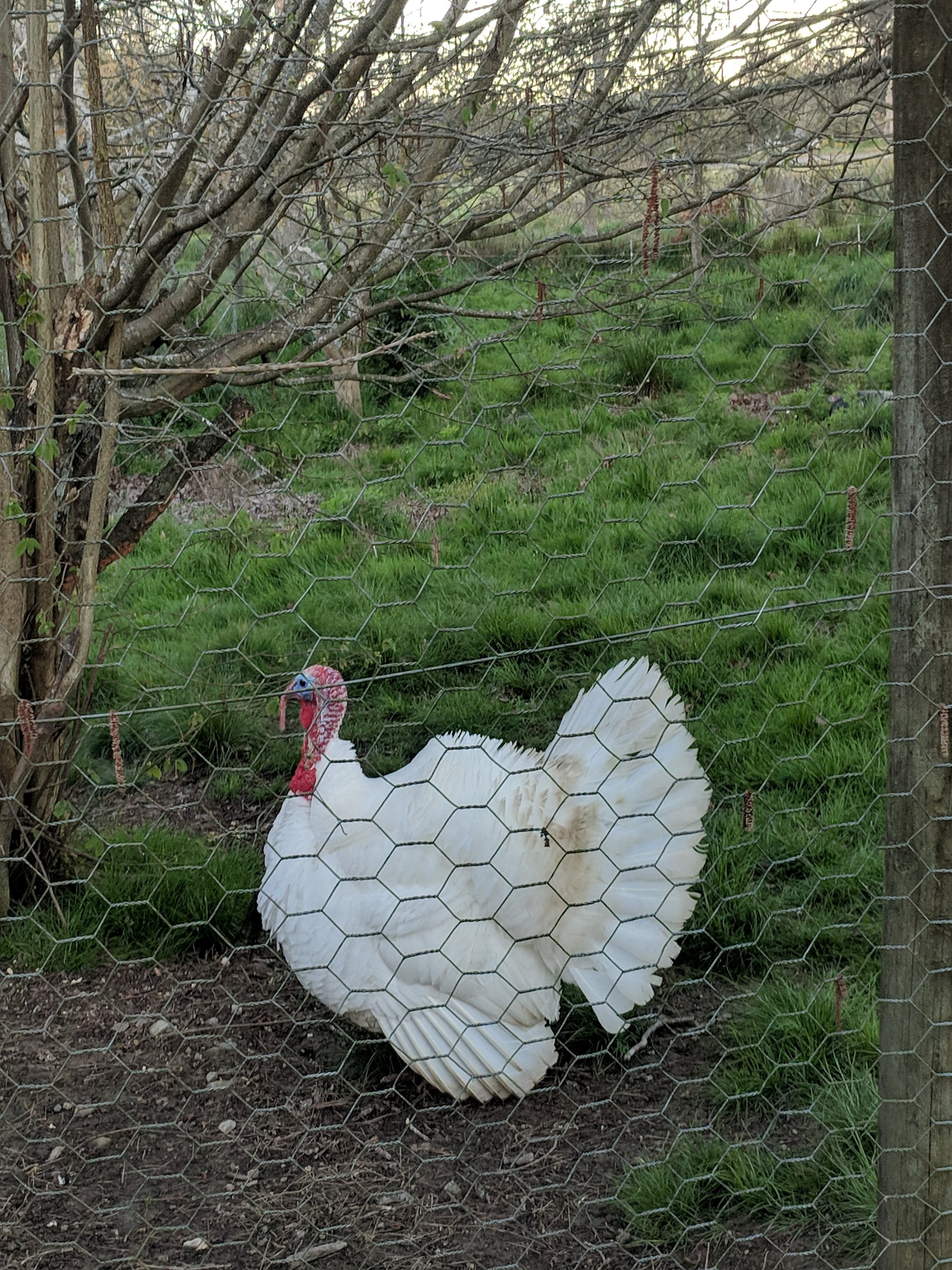
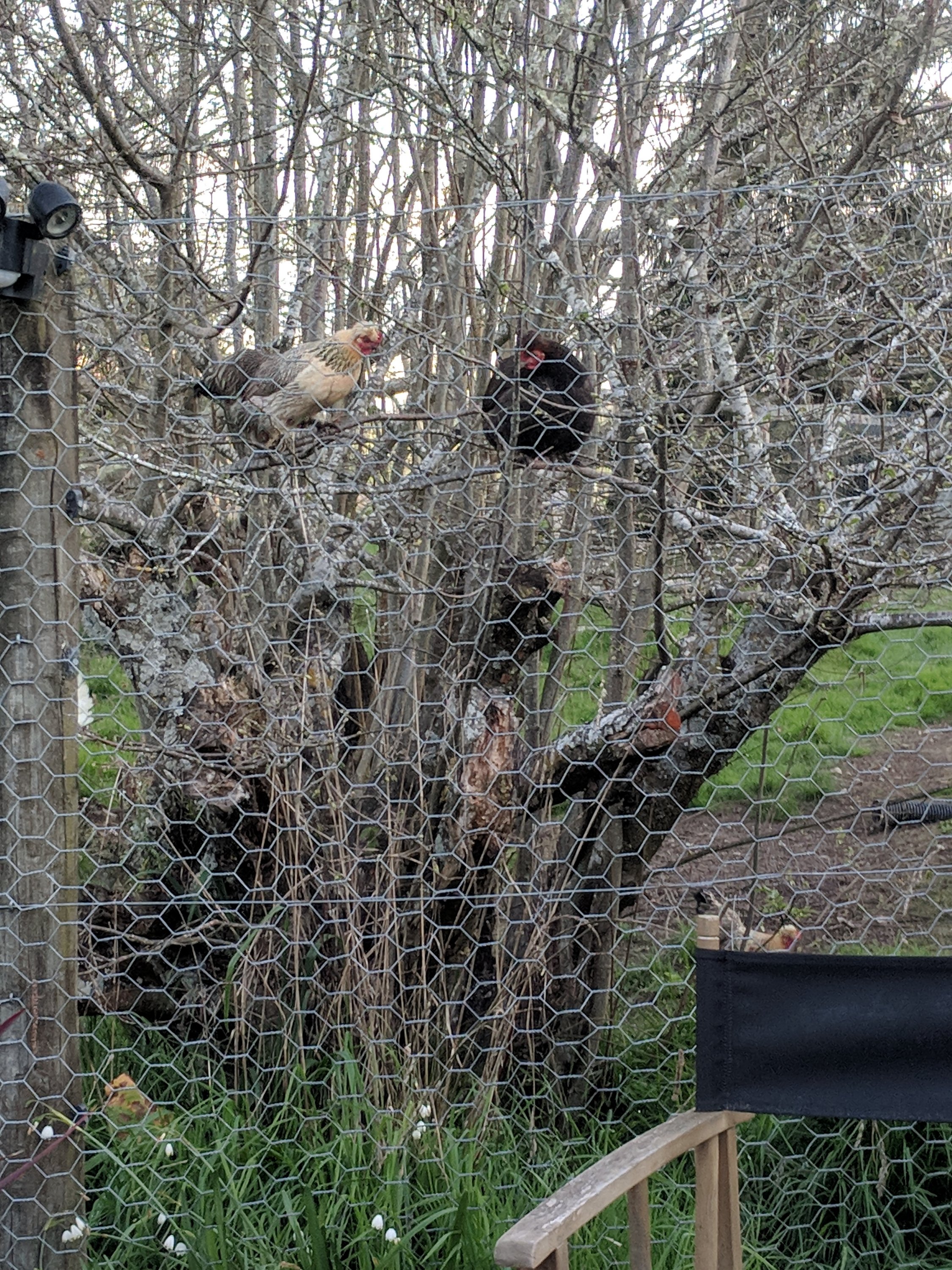
Here are just a few of the resident animals
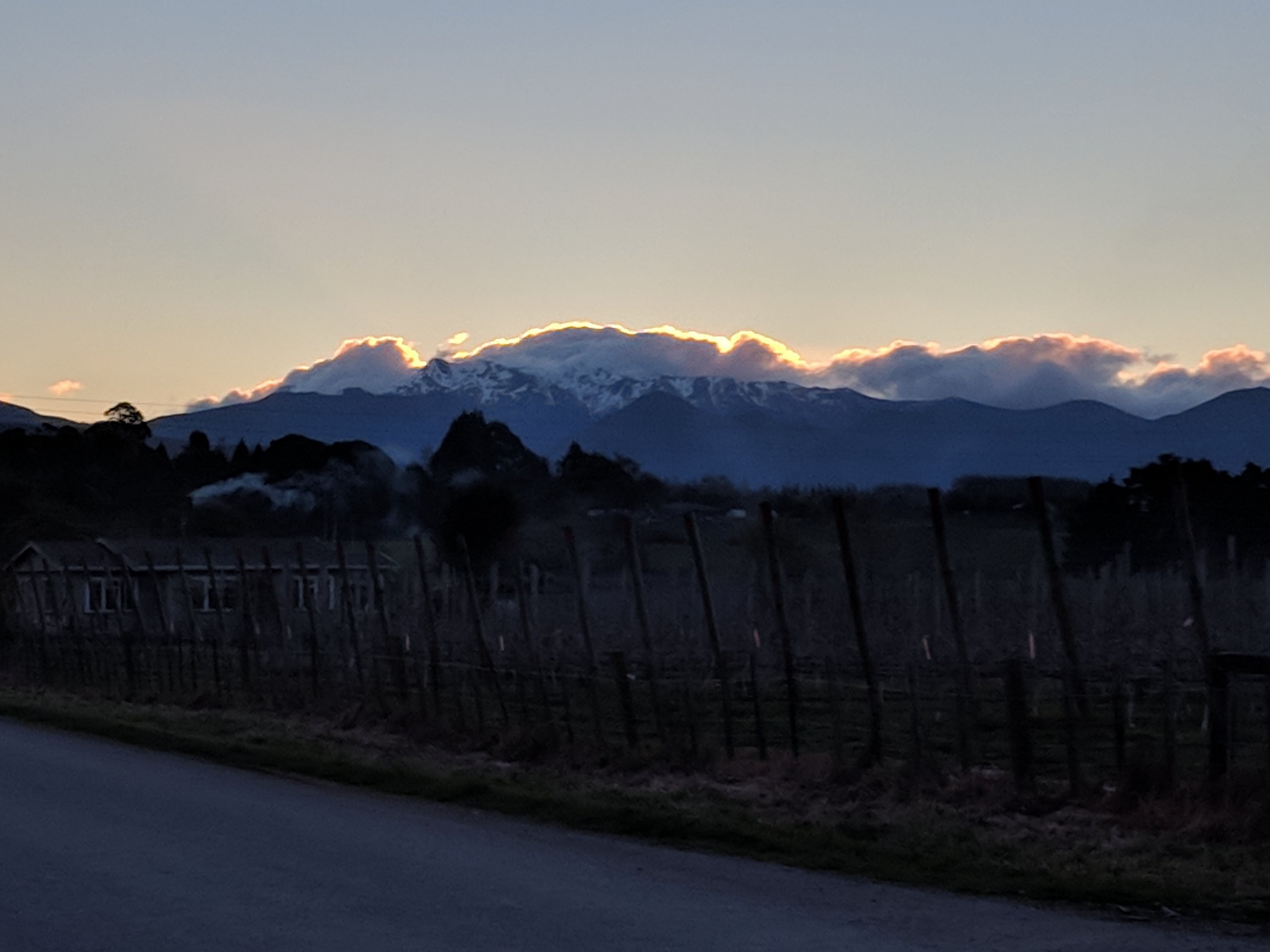
Outside is a delightful garden bordered by a field of hops and backed by a pretty impressive mountain range
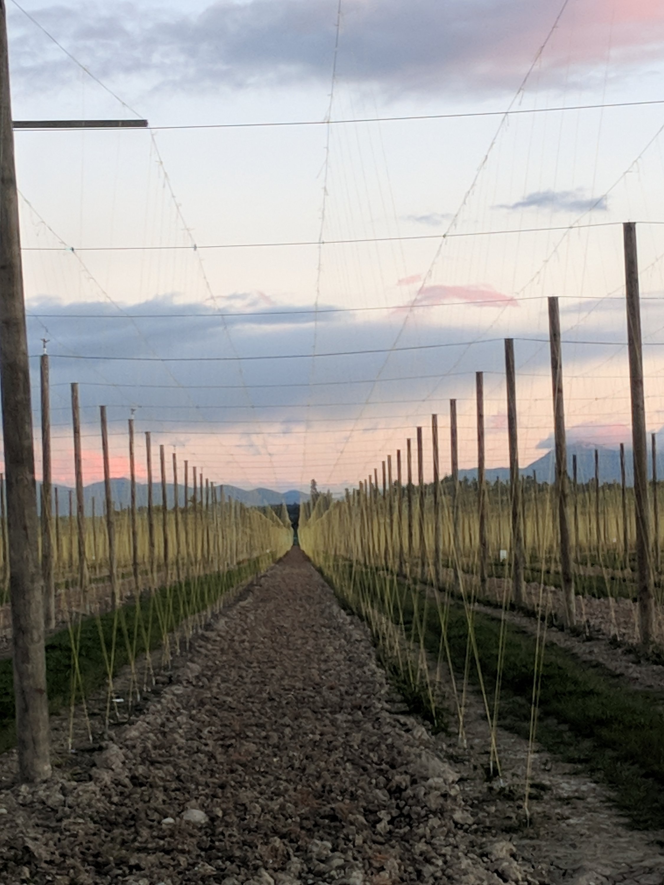
There are many hectares of hops in this valley, and they are apparently quite prized. They are exported to the States and Europe. Mark, the owner of the bach, said that they are purchased by Guinness among other brewers. The plants grow very fast and very high (up to 5 meters). The fields are covered with poles and wires which support the wires placed next to the plants so that they climb rather than grow as creeping vines along the ground. The plants are just being put in and the climbing wires strung.
The cottage itself is big, comfortable and so welcoming with a bottle of local wine and fresh eggs to great us! We had a very nice chat with one of the owners after he came home from work. His wife is a nurse so they must be very busy with a working farm, two jobs, and a bach to keep up!
Saturday, September 29th.
Day 1 of riding the Tasman Great Taste Trail. We decided to do the section from Mapua across Rabbit Island and toward Richmond. Having driven through Nelson and Richmond on our way to the bach we could see that much of the trail on that end was just next to the main highway; so more of a way to get to the countryside than pleasant riding, so we would just ride toward the city until we hit the industrial bits.
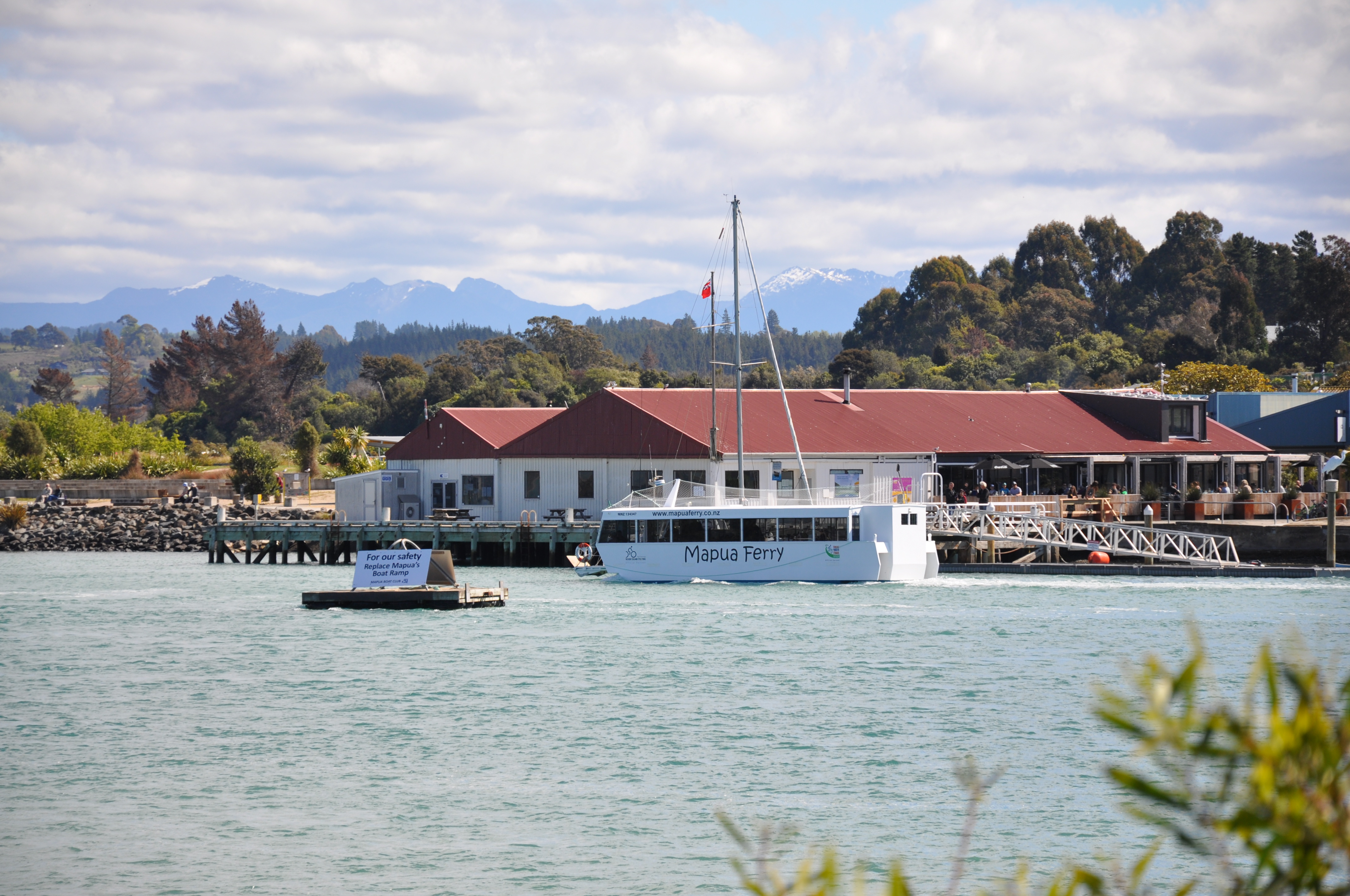
The ride starts with the Mapua ferry, a little boat that can hold about 15 bikes and passengers. It takes about 10 minutes to cross an inlet from the Tasman Sea between Mapua and Rabbit Island. You get a nice view of the Mapua waterfront from the ferry.
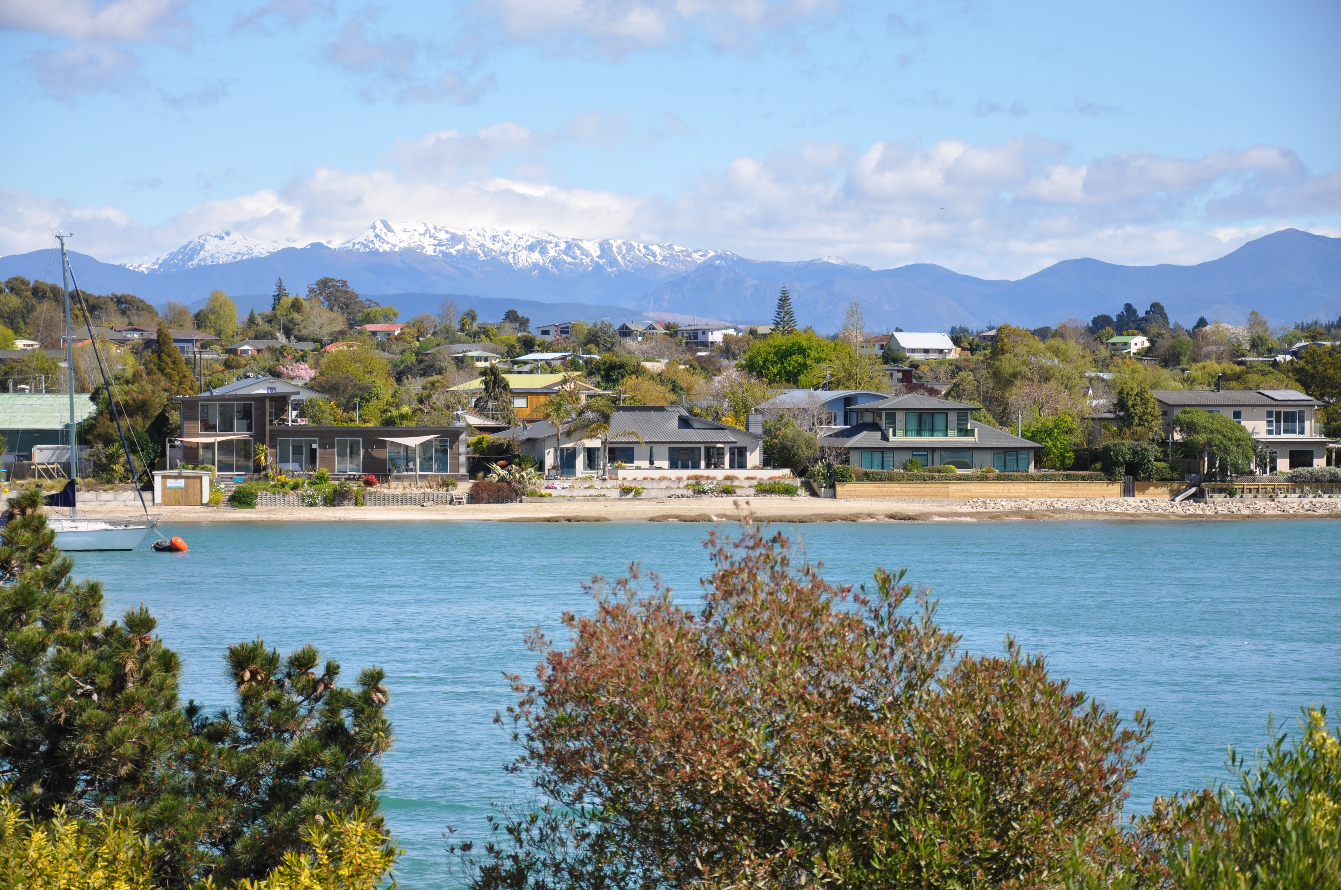
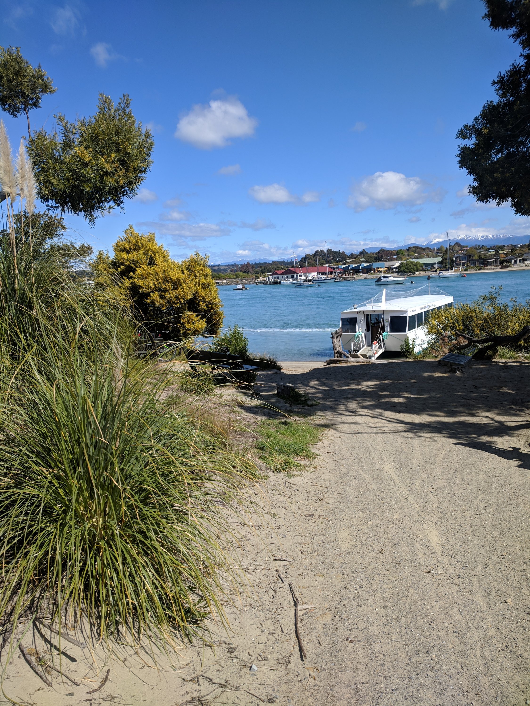
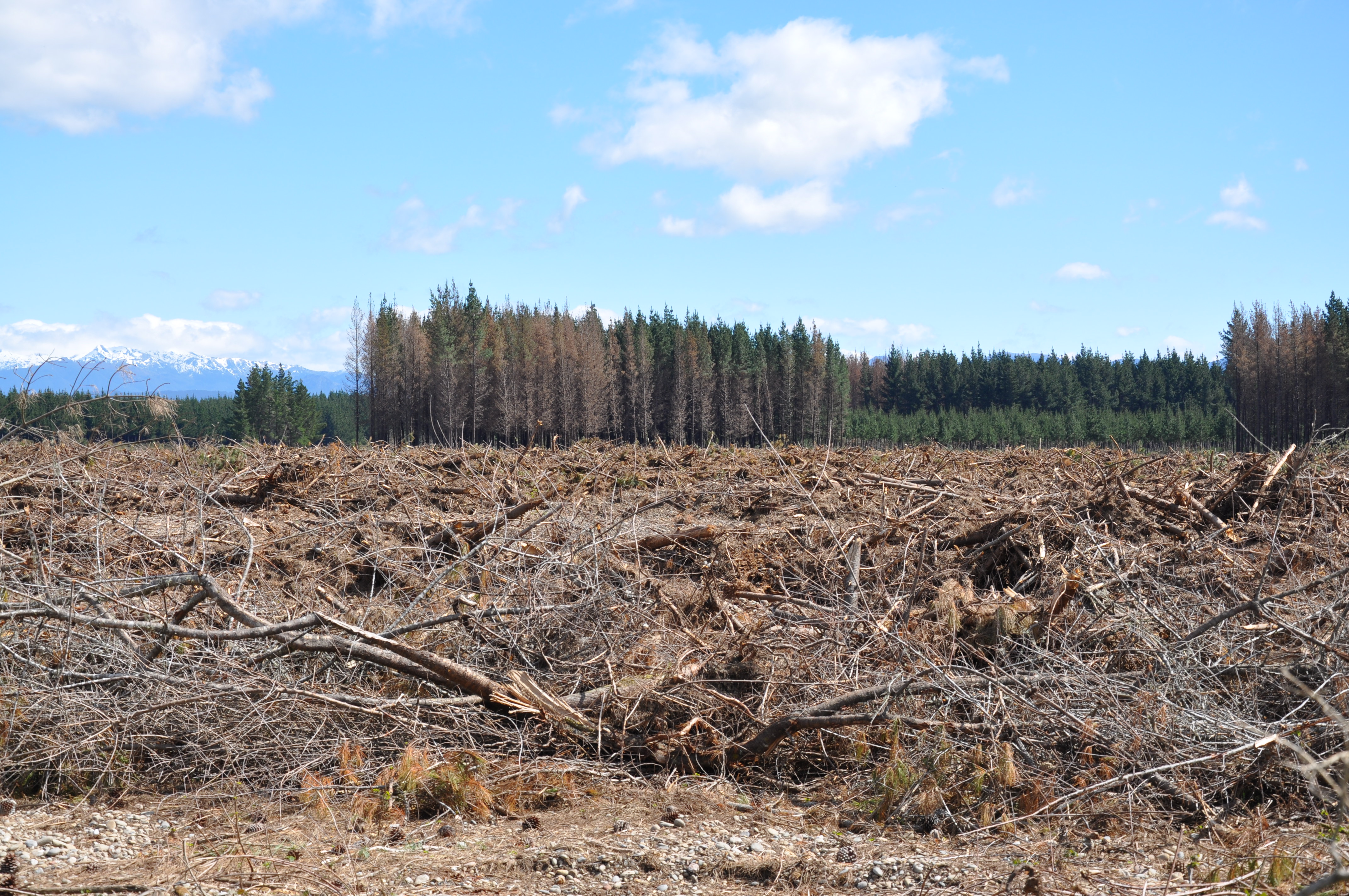
Much of Rabbit Island is parkland. After several kilometers on gravel roads through pine barrens and forest the trail enters the beachfront area of the park. There were a lot of people picnicing. On the far side of the island there were warnings about logging going on. All throughout this region of New Zealand you can see where the logs for export come from. There are huge tracts of forest that are clearcut and then replanted.
The bike path then left the island and followed along an estuary at the edge of the sea.
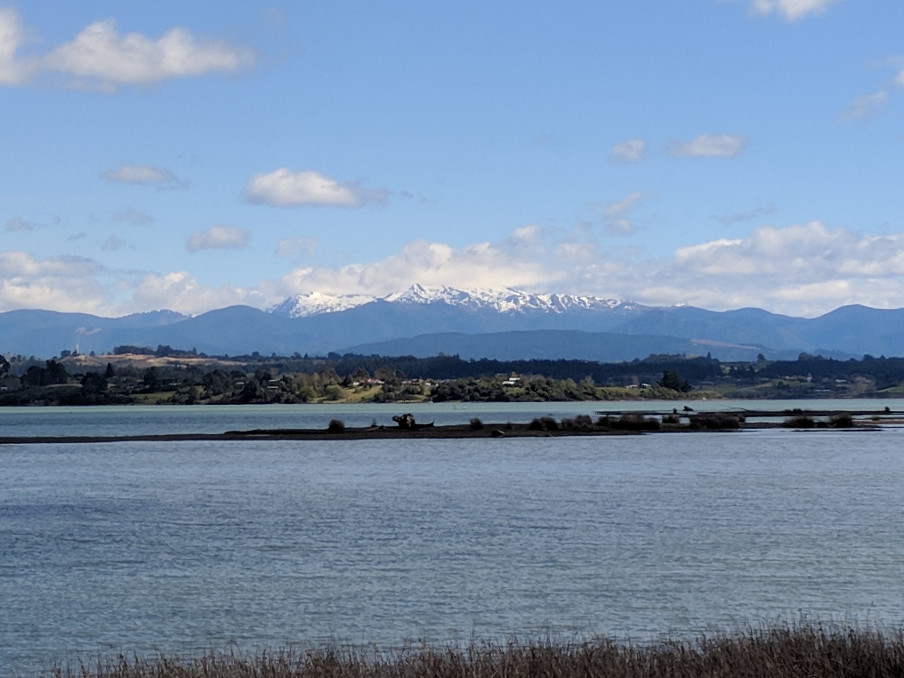
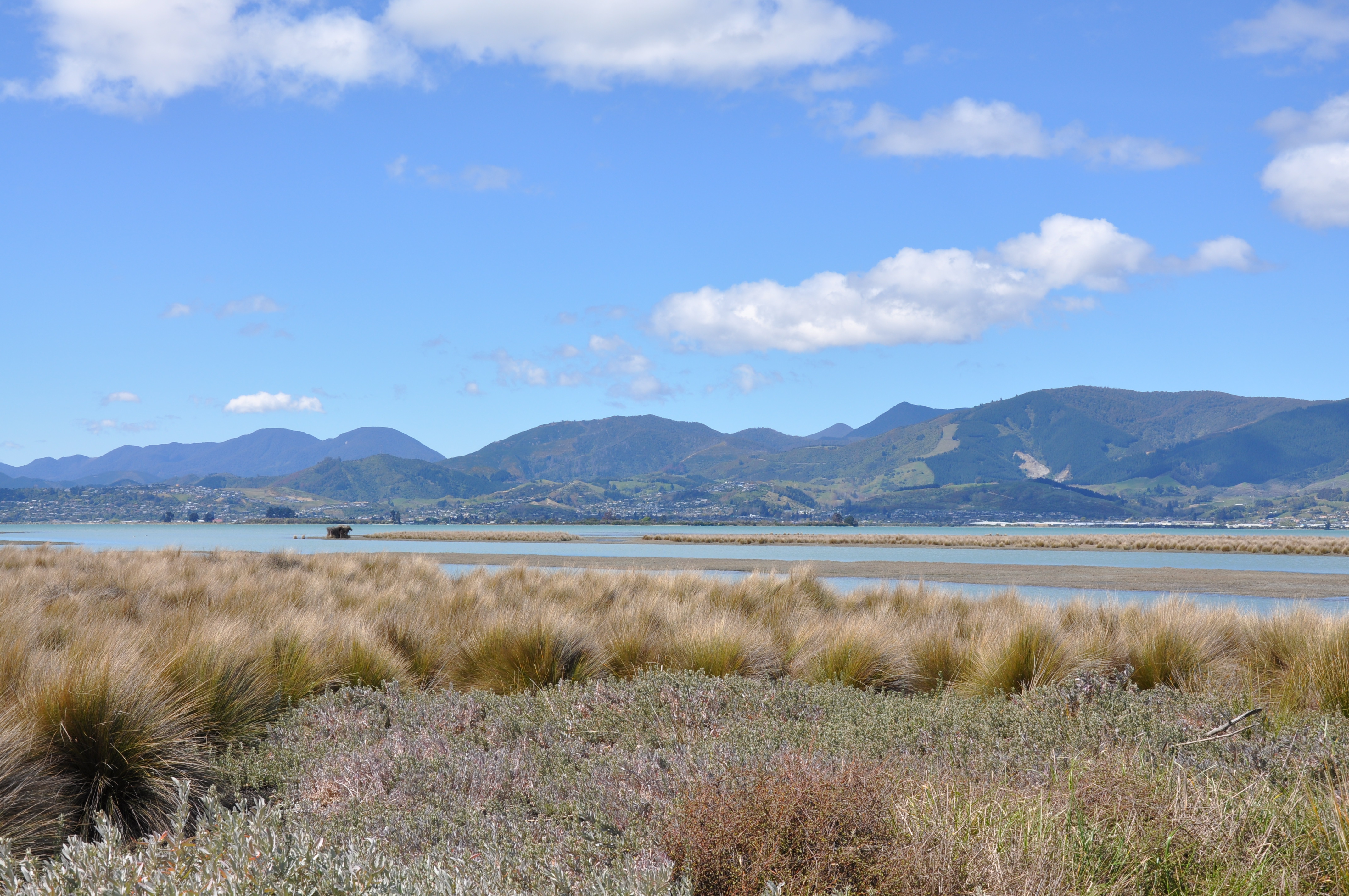
A lot of beautiful scenery along the trail, but it was mostly serious trail riding – the only paved sections were boardwalks along the estuary and a short section where we were on local roads.
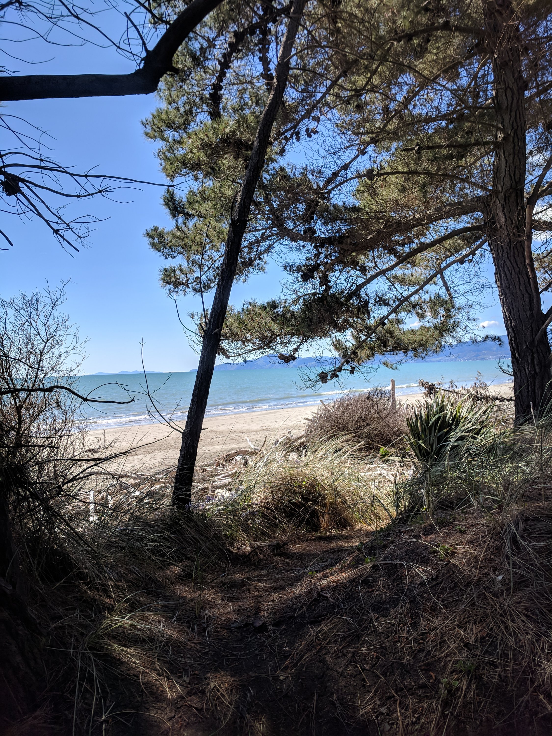
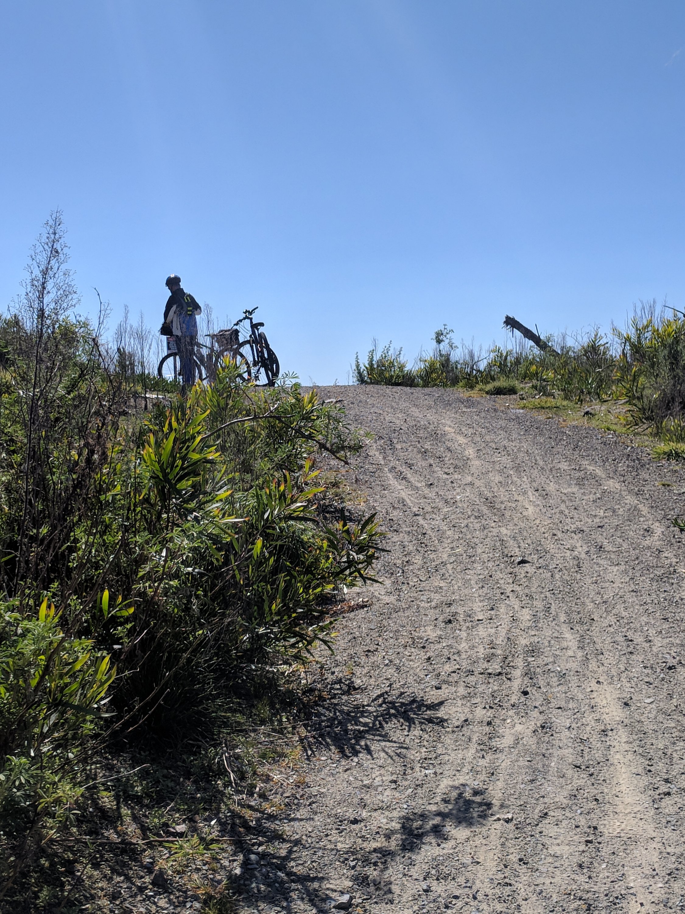
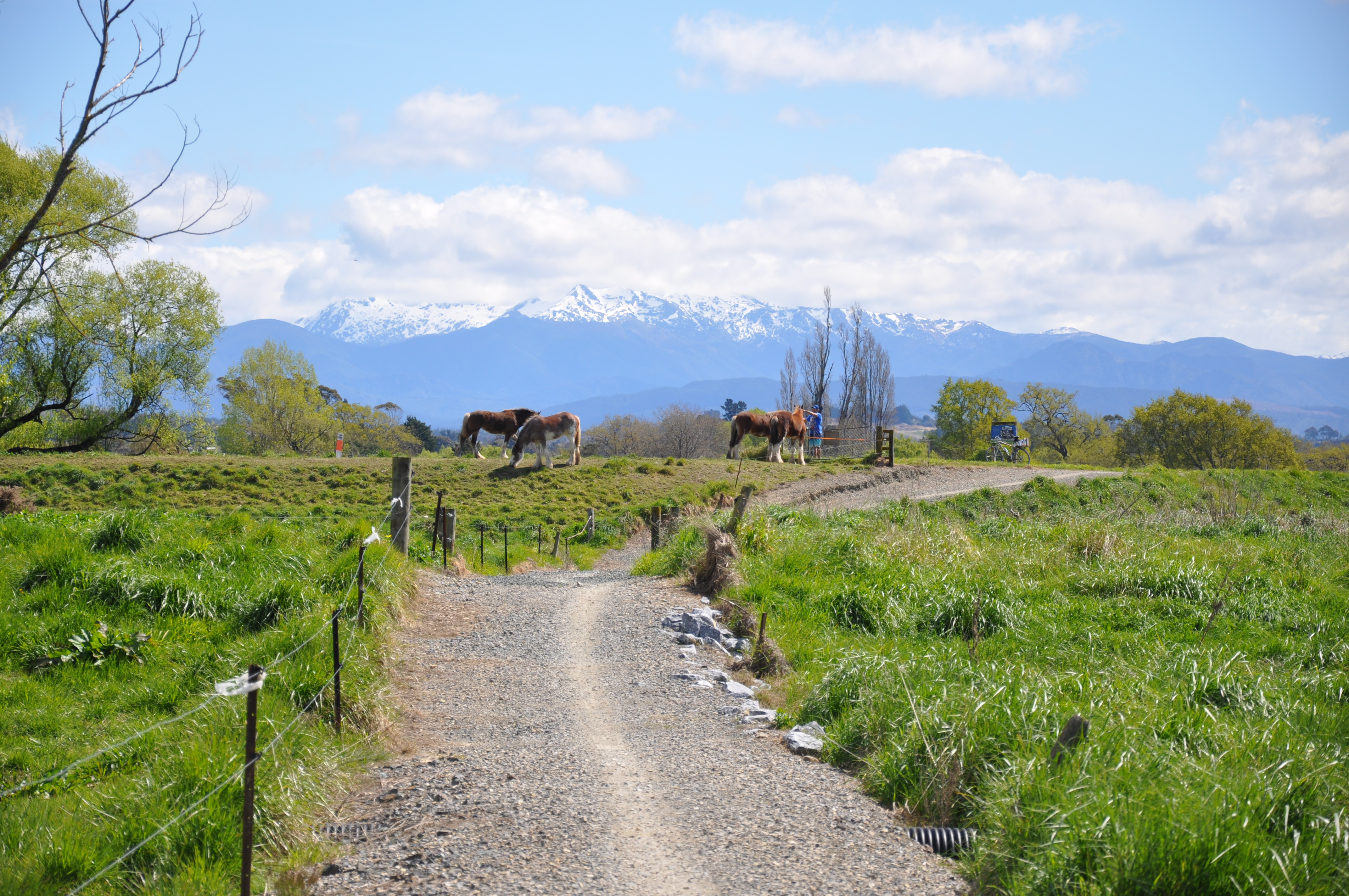
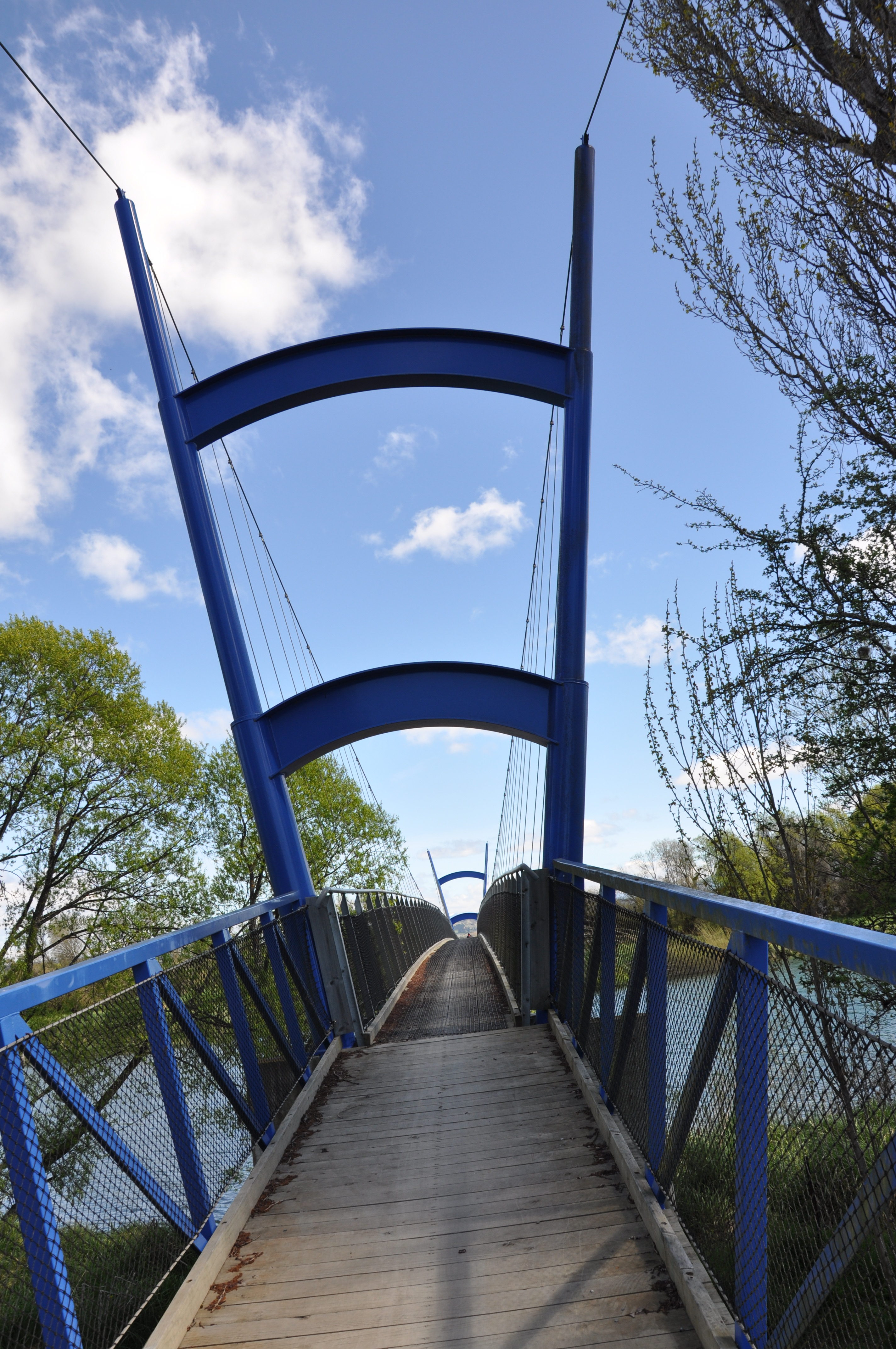
About 16 miles round trip. This bridge was a swinging suspension bridge we walked the bikes across on the way out, but rode across on the way back.
Sunday, September 30th
Today is daylight saving day in New Zealand and we sprung forward, losing an hour of sleep.
We had a last minute change of plans. We were going to bike to Motueka and their Sunday market and then possibly on to Kaiteriteri. After consulting some of our travel pamphlets we decided to go to the Sunday market and then head across Takaka Hill to Takaka and the Golden Bay near Abel Tasman National Park.
The Sunday Market is a mix of farmers’ market, flea market and assorted entrepreneurs and artists doing massage, face painting, palm reading and musical performances. In town I got a picture of one of the really special New Zealand license plates that we have occasionally seen. Most plates are 3 letters and 3 numbers, but they do have vanity plates as at home. However these really special plates allow you to have your vanity plate license number and then some text to go along with it. Most have been for businesses, but we saw one that said something like, “We are one very happy FAMLEE.”
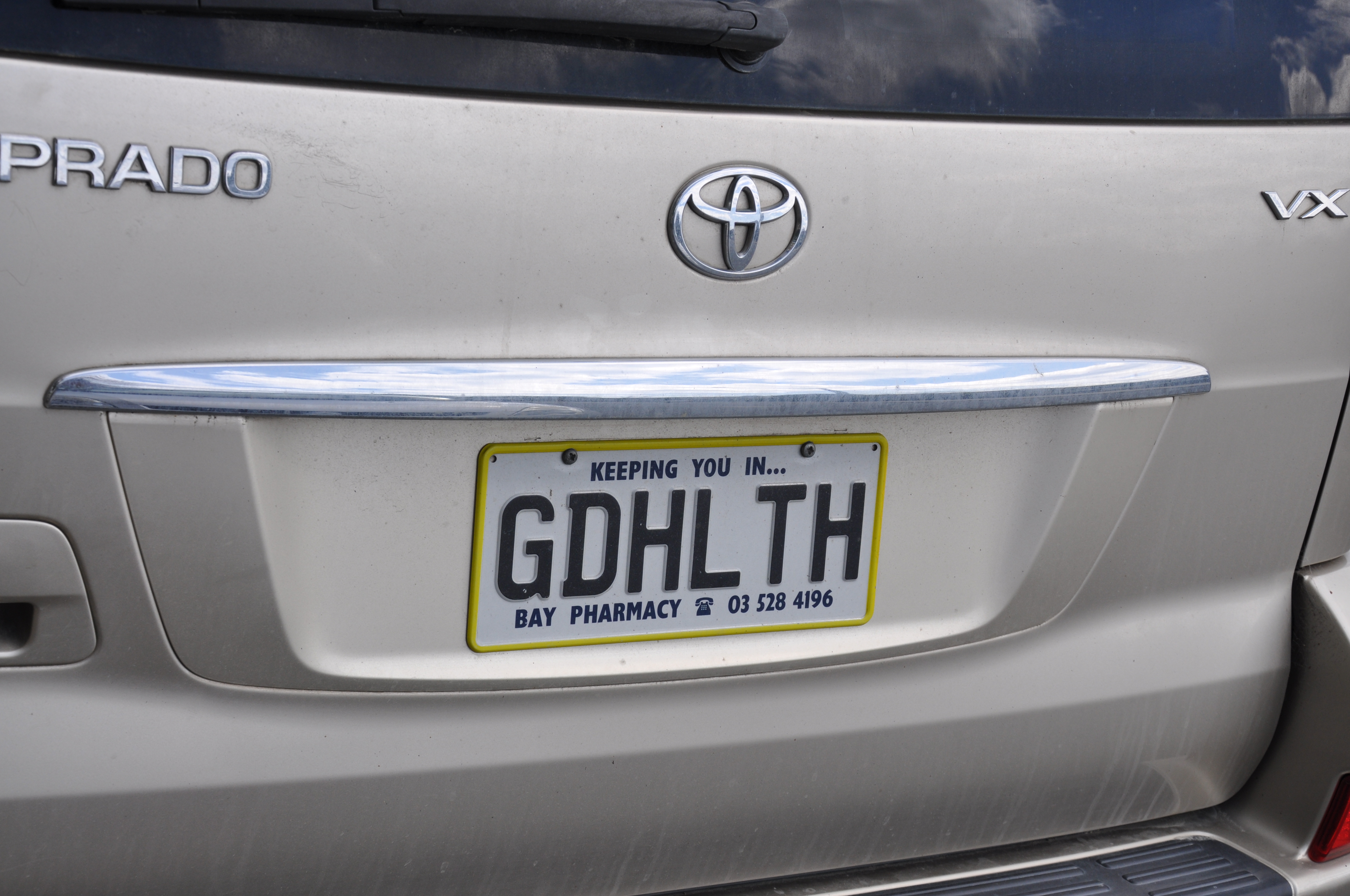
I think that we will add allowing this type of plate to our political party platform. We could raise tons of money selling them.
There were clues about Takaka Hill. First, the one road (Route 60) that goes there looked like a sine wave on Google maps. Second, when Jeannie was getting Google to give us directions it said that it was 52 kilometers and it would take 80 minutes to get there. Continuing on, nonetheless, Tom got his “OMFG that is a 1000 meter drop over there and there aren’t any guardrails” badge. We learned from a woman we were talking to on one of the walks out in the Golden Bay area that there were two cyclones just a few weeks apart in February. They caused huge flooding along coastal areas and they washed out quite a few sections of the road over Takaka Hill. You could see the areas where there had been large mudslides, and many areas have been patched and are in good shape, but one section – about 3 Km long – is still one way, so they have stoplights on either side of it regulating which direction can drive through. The sign next to the light shows the waiting time for the next green light – the three options were 6-12 minutes, 2-6 minutes and 1 minute. While Tom got his badge he pulled over at many of the “slow vehicle” bays along the road to let crazy people fly by. The schadenfreude moment was seeing all of those cars waiting at the red light before the one-lane section of the highway.
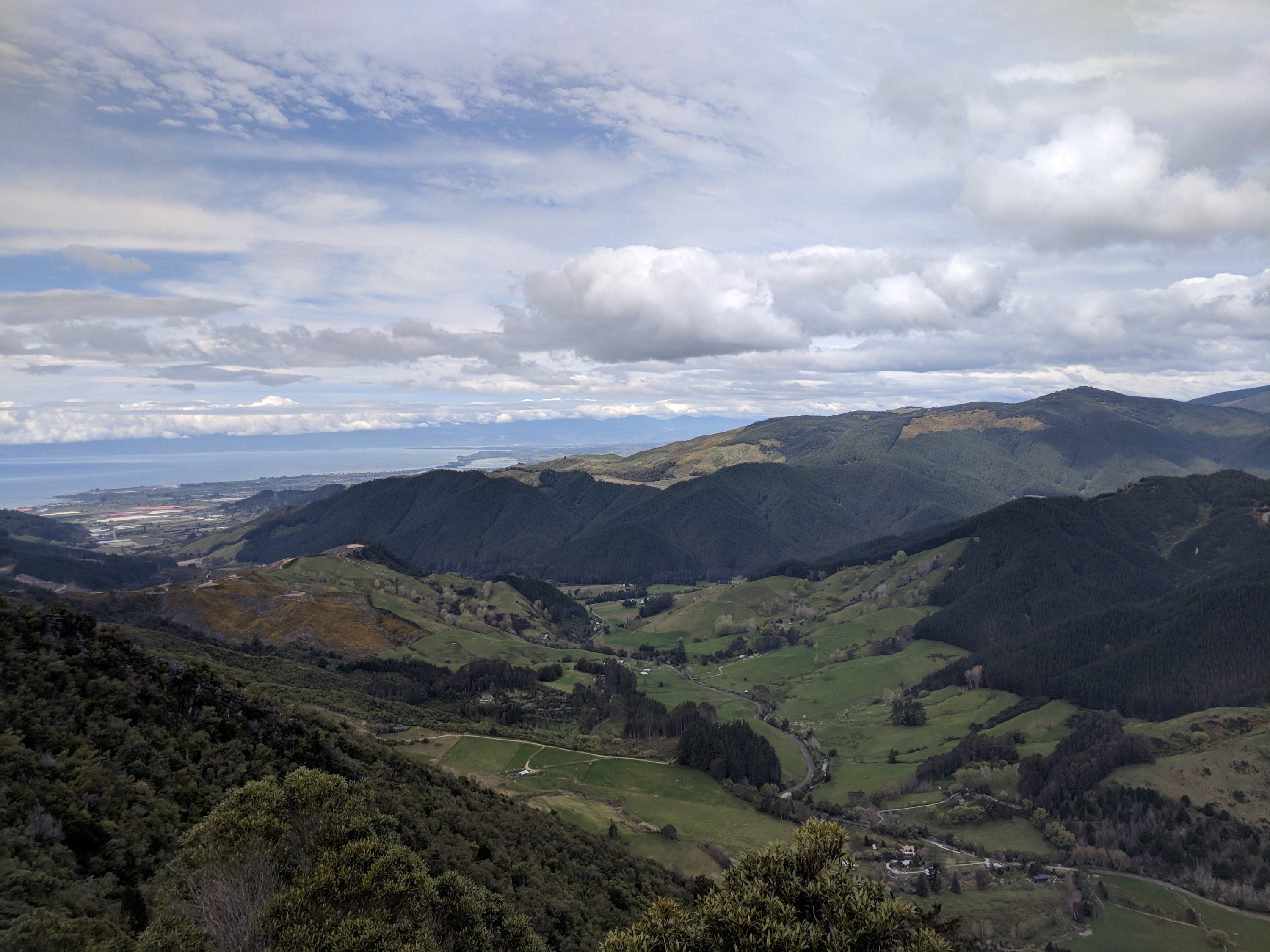
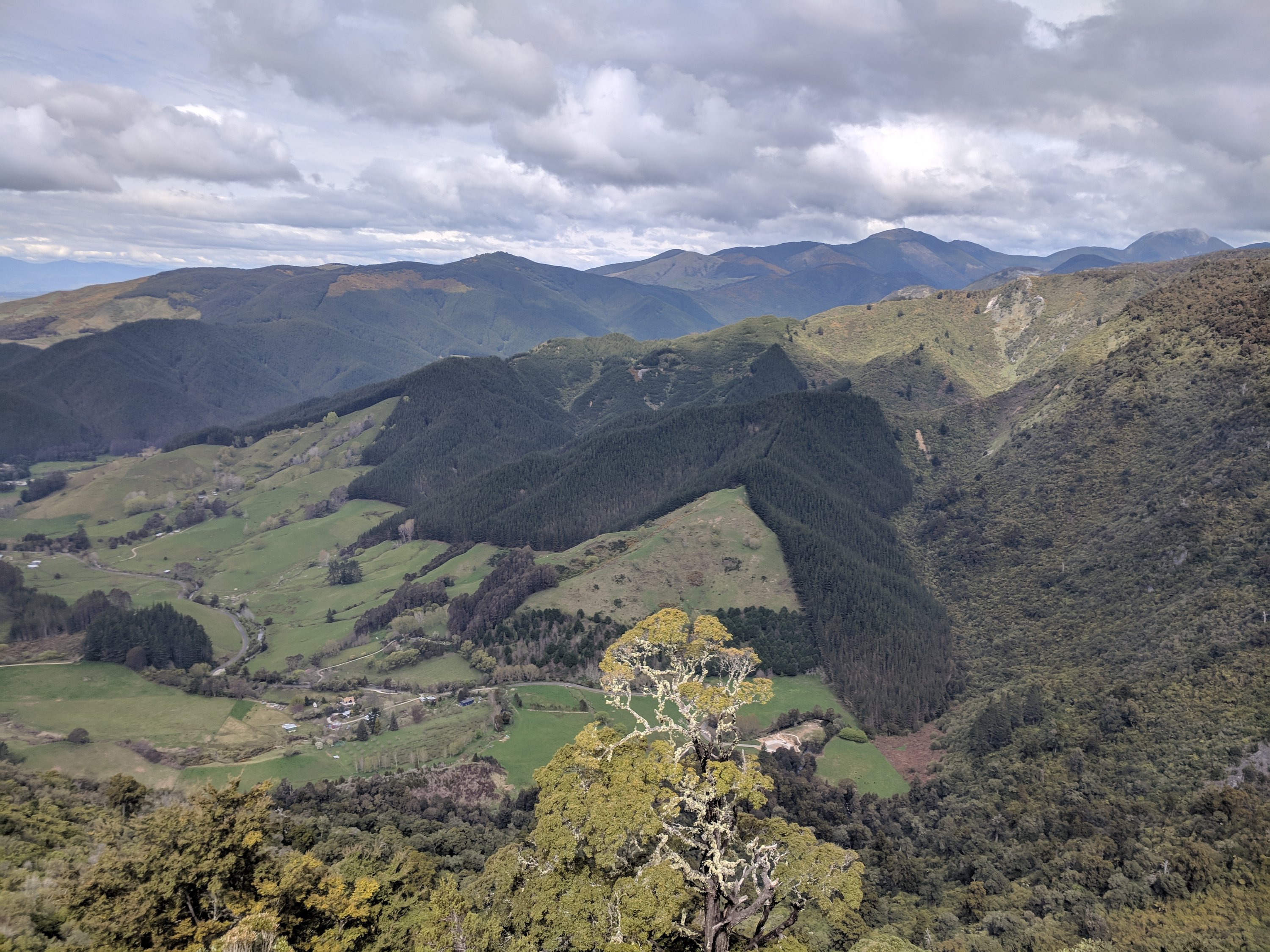
These are some photos from the overlook near the top of Takaka Hill.
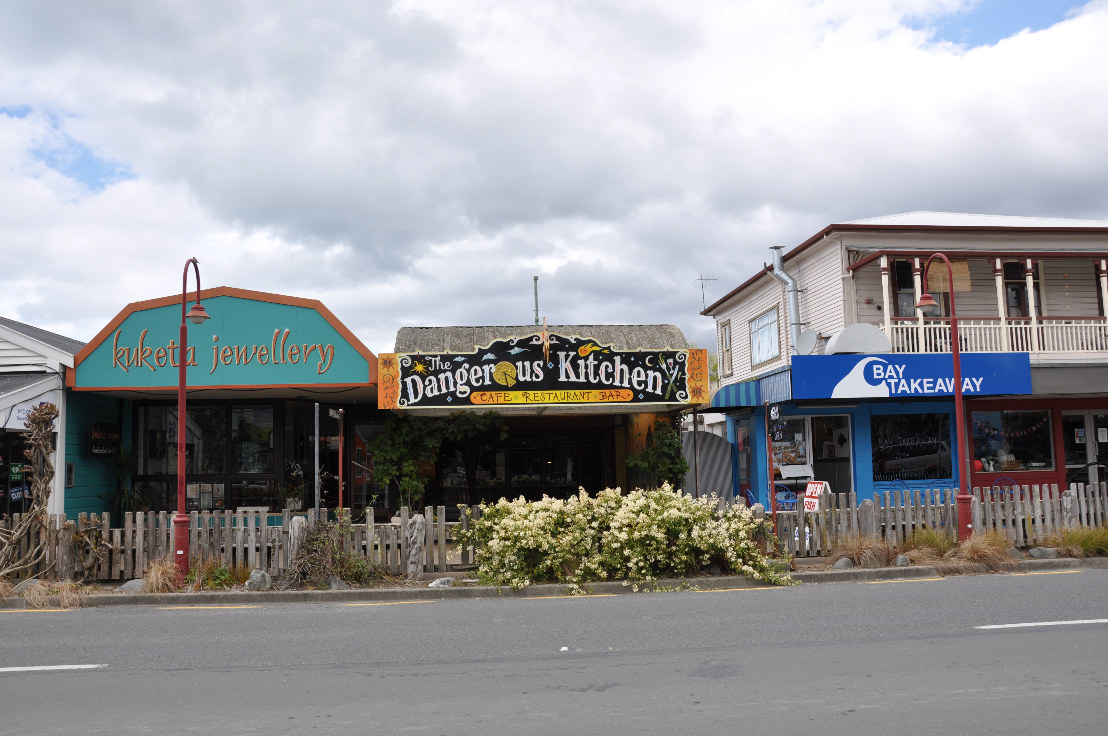
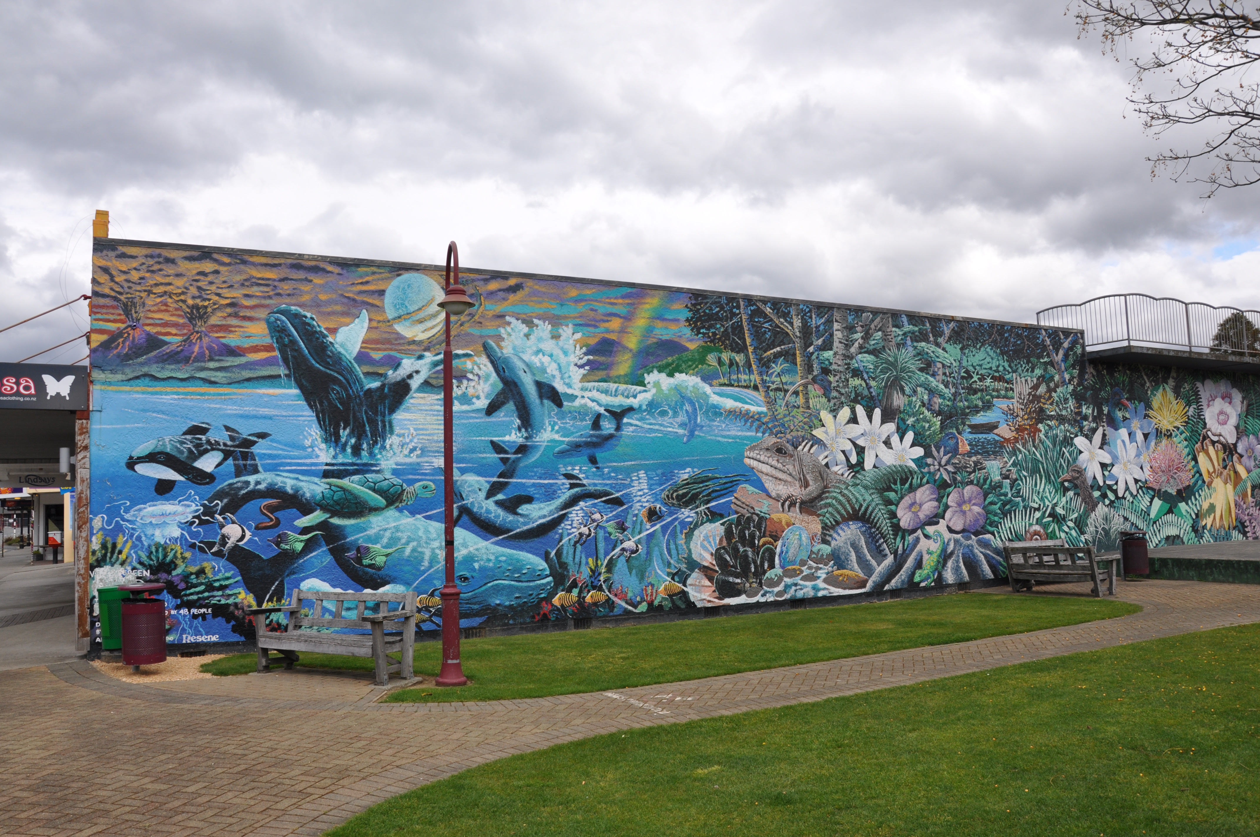
Takaka itself is a very funky town that caters to primarily active tourists. There are a lot of kayaking companies and there are a lot of beaches that are only accessed by hiking. There are quite a few multi-day hikes in the area with huts which you can reserve for the night while out tramping.
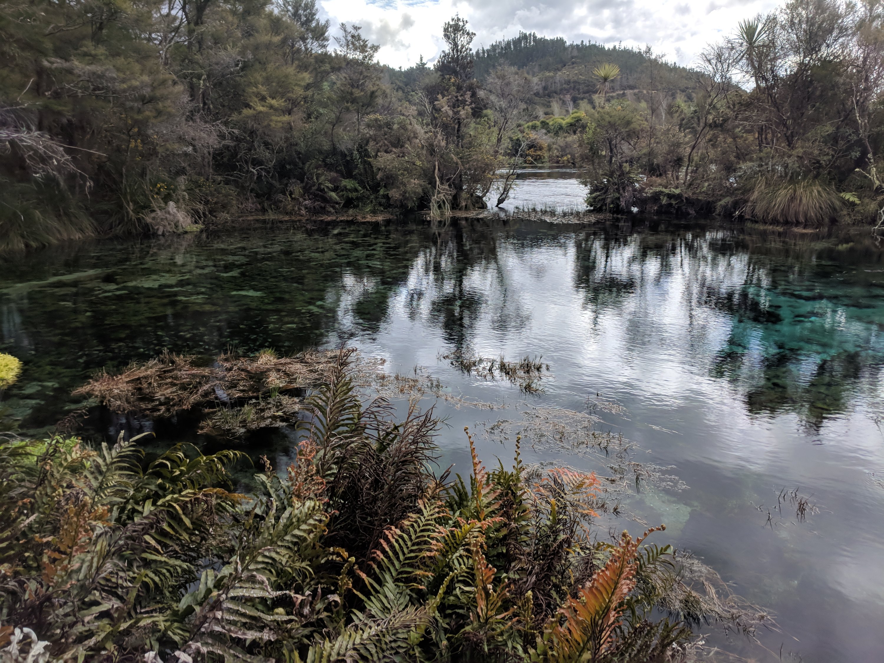
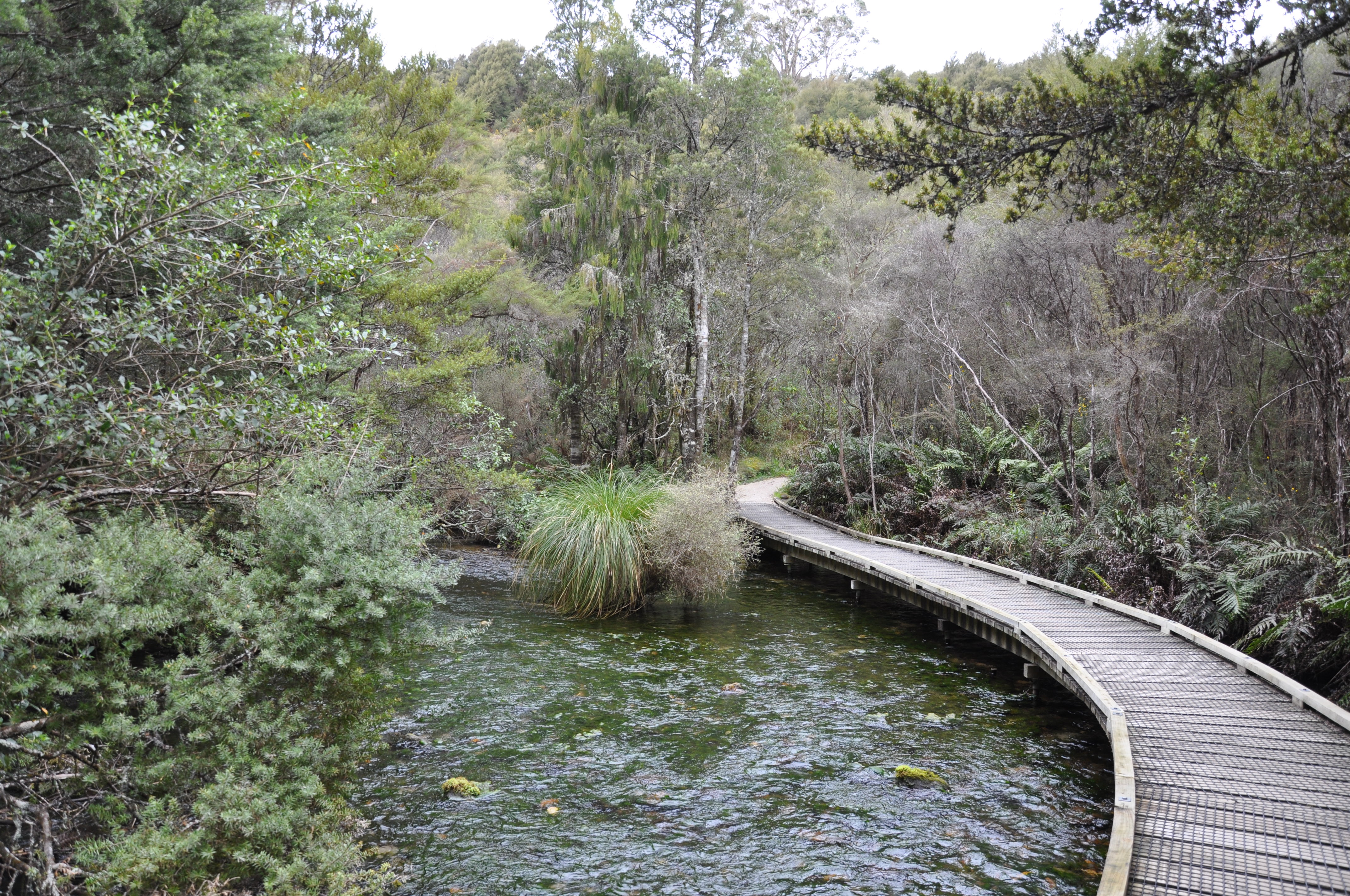
We stopped there for lunch and then drove on to Te Waikoropupu Springs, known to the non-Maori as Pupu Springs. There are 8 underwater vents feeding the springs at a prodigious rate (which was something like 10 cubic meters a second). You could see the water bubbling on the surface. They are also recognized as the clearest water in the southern hemisphere (clear to a depth of 75 meters). The springs are sacred to the Maori people so visitors are requested not to touch the water.
We met a very friendly local woman who was there with her family. She was amused that we would drive over and back across Takaka Hill in one day – she hasn’t been back across since the cyclones last summer. She told us about several other places to visit in Golden Bay, and also informed us that the next two weeks are Spring Break, so most primary and secondary school kids are on vacation and more families will be out at tourist sites.
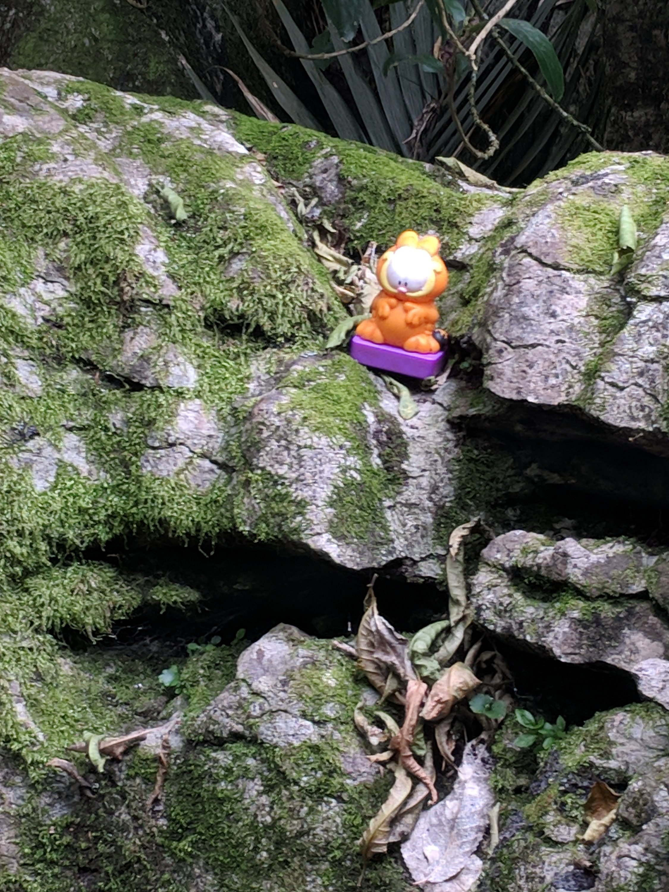
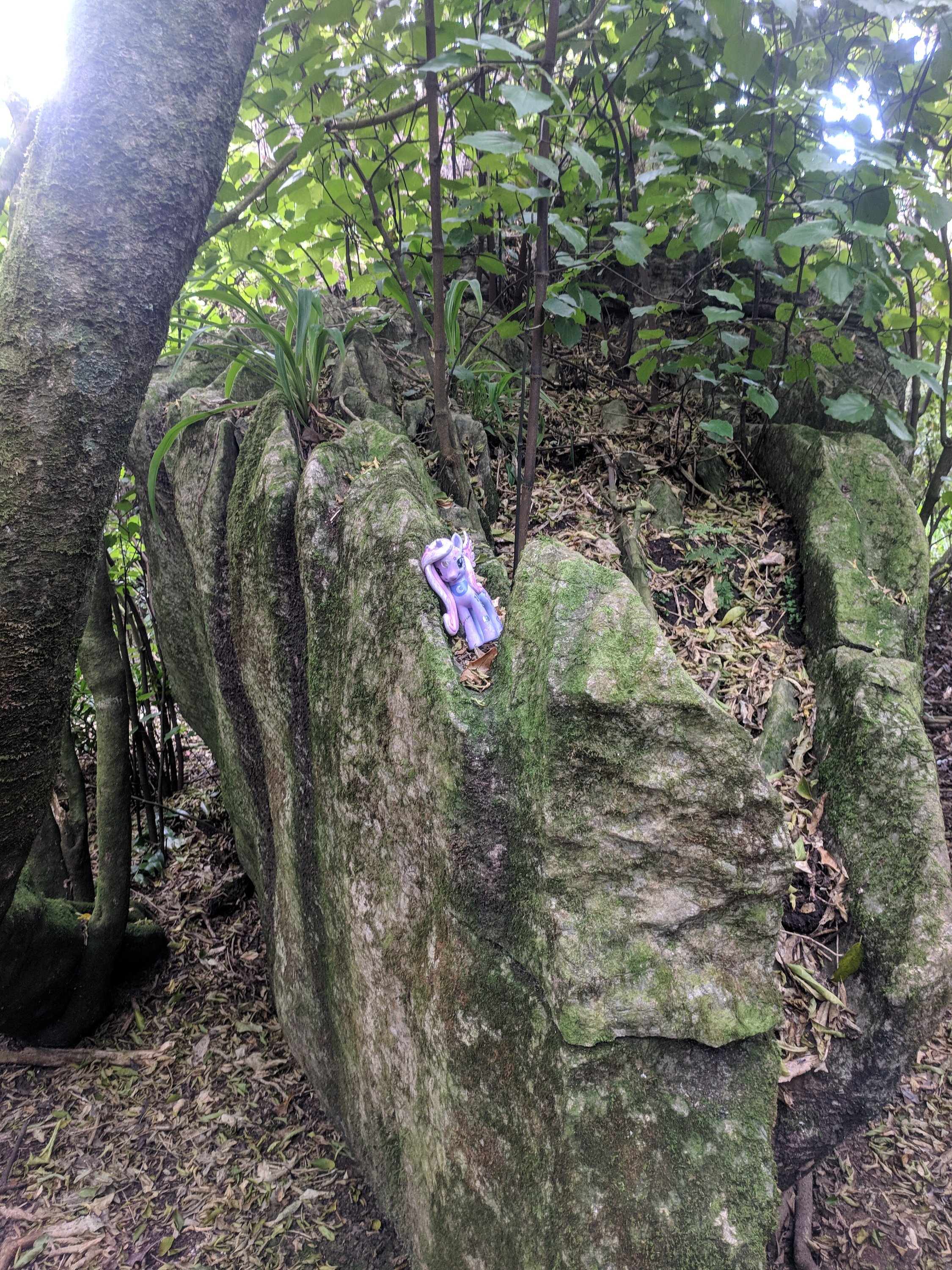
We picked the Labyrinth Rocks from her list of places to visit since they were in the general direction of heading back to our bach. We didn’t stay too long because we have both been to Rock City, and Jeannie kept worrying about the guy played by James Franco in the movie that got wedged in a crevice and had to cut his arm off to get free. Needless to say, that discussion put a damper on continued exploration of the rock formations.
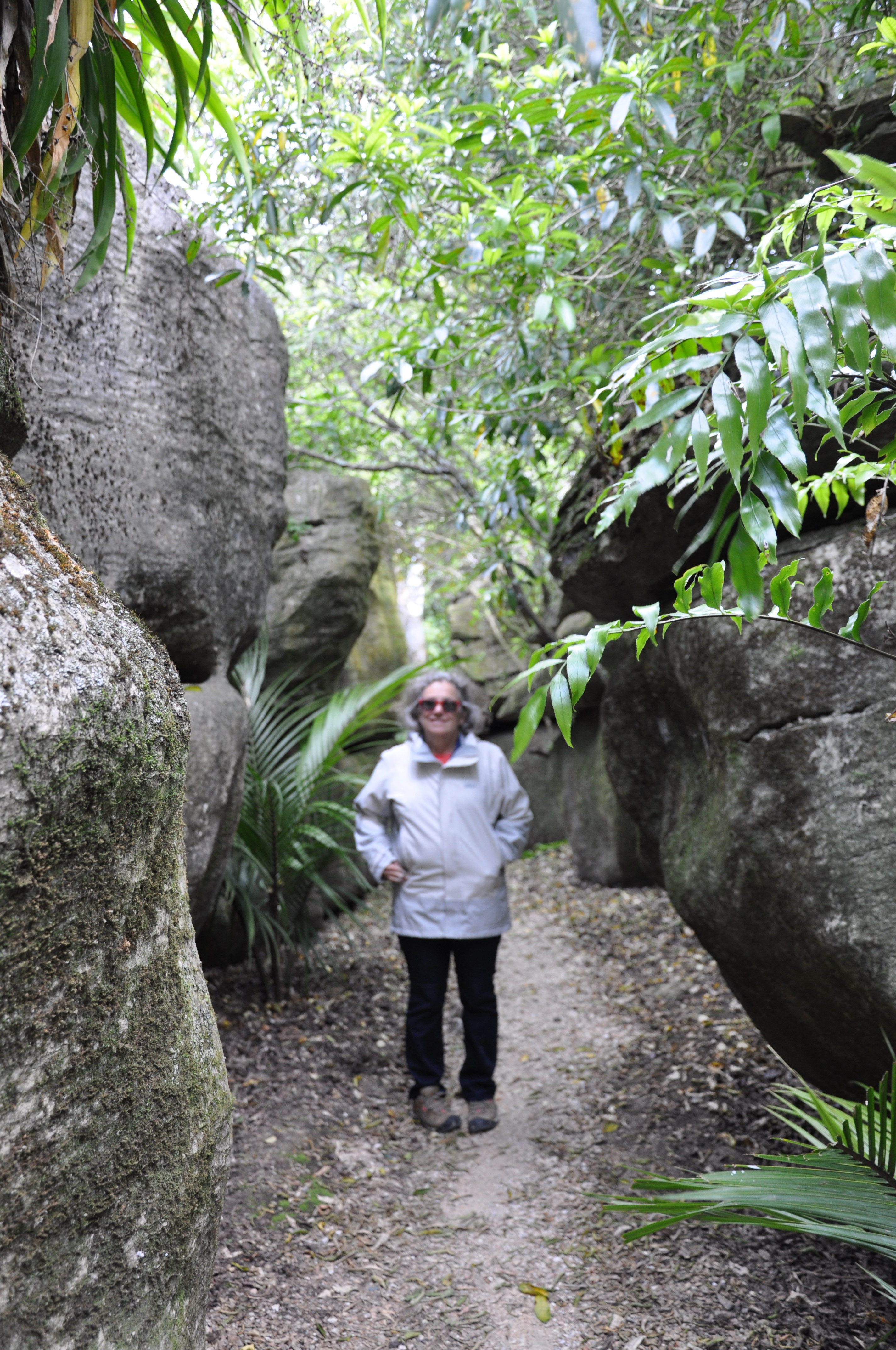
JV: yes, that place was creepy! I told Tom to walk very gently. We were in the absolute middle of nowhere, no one else around, surrounded by huge unstable looking piles of rock! And then there were many of these
